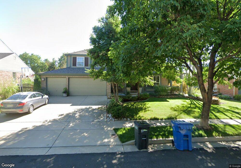
1626 Redwing Ln Broomfield, CO 80020
Broomfield Country Club NeighborhoodEstimated Value: $900,000 - $1,082,000
4
Beds
4
Baths
3,068
Sq Ft
$318/Sq Ft
Est. Value
About This Home
This home is located at 1626 Redwing Ln, Broomfield, CO 80020 and is currently estimated at $976,874, approximately $318 per square foot. 1626 Redwing Ln is a home located in Broomfield County with nearby schools including Aspen Creek K-8 School, Birch Elementary School, and Broomfield High School.
Ownership History
Date
Name
Owned For
Owner Type
Purchase Details
Closed on
Jan 4, 2000
Current Estimated Value
Purchase Details
Closed on
Jun 21, 1999
Purchase Details
Closed on
Dec 10, 1997
Create a Home Valuation Report for This Property
The Home Valuation Report is an in-depth analysis detailing your home's value as well as a comparison with similar homes in the area
Home Values in the Area
Average Home Value in this Area
Purchase History
| Date | Buyer | Sale Price | Title Company |
|---|---|---|---|
| -- | $413,100 | -- | |
| -- | $435,000 | -- | |
| -- | $3,000,000 | -- |
Source: Public Records
Tax History Compared to Growth
Tax History
| Year | Tax Paid | Tax Assessment Tax Assessment Total Assessment is a certain percentage of the fair market value that is determined by local assessors to be the total taxable value of land and additions on the property. | Land | Improvement |
|---|---|---|---|---|
| 2025 | $5,021 | $64,100 | $16,080 | $48,020 |
| 2024 | $5,021 | $60,280 | $15,150 | $45,130 |
| 2023 | $5,011 | $66,350 | $16,680 | $49,670 |
| 2022 | $4,640 | $48,000 | $12,160 | $35,840 |
| 2021 | $4,617 | $49,380 | $12,510 | $36,870 |
| 2020 | $4,403 | $46,800 | $10,730 | $36,070 |
| 2019 | $4,395 | $47,120 | $10,800 | $36,320 |
| 2018 | $4,190 | $44,390 | $9,720 | $34,670 |
| 2017 | $4,126 | $49,080 | $10,750 | $38,330 |
| 2016 | $4,282 | $45,410 | $12,740 | $32,670 |
| 2015 | $4,134 | $39,690 | $12,740 | $26,950 |
| 2014 | $3,694 | $39,690 | $12,740 | $26,950 |
Source: Public Records
Map
Nearby Homes
- 1490 Saint Andrews Dr
- 1732 Peregrine Ln
- 583 Redstone Dr
- 114 E 14th Ct
- 37 E 14th Place
- 53 Douglas Dr S
- 23 Scott Dr N
- 20 Scott Dr N
- 46 Douglas Dr S
- 14 N Douglas Dr
- 1175 Oakhurst Dr
- 57 Scott Dr S
- 30 Douglas Dr N
- 1152 Clubhouse Dr
- 36 Carla Way
- 13971 Telluride Dr
- 1118 Oakhurst Dr
- 1123 Oakhurst Dr
- 1201 Dover Ct
- 267 Powderhorn Trail
- 1646 Redwing Ln
- 1606 Redwing Ln
- 1617 Prairie Falcon Ln
- 1627 Prairie Falcon Ln
- 1586 Redwing Ln
- 1619 Redwing Ln
- 1597 Prairie Falcon Ln
- 1666 Redwing Ln
- 1639 Redwing Ln
- 1599 Redwing Ln
- 1659 Redwing Ln
- 1577 Prairie Falcon Ln
- 1677 Prairie Falcon Ln
- 1566 Redwing Ln
- 1579 Redwing Ln
- 1624 Prairie Falcon Ln
- 1604 Prairie Falcon Ln
- 1644 Prairie Falcon Ln
- 1584 Prairie Falcon Ln
- 1689 Redwing Ln