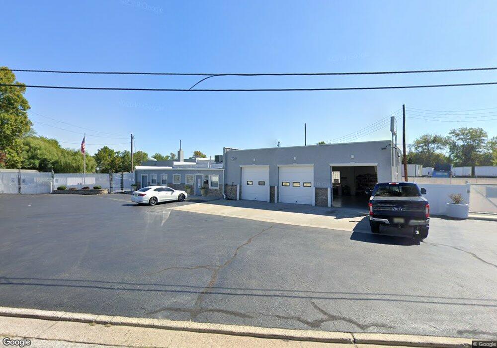
1626 S Commerce St Paulsboro, NJ 08066
Estimated Value: $584,261
--
Bed
--
Bath
--
Sq Ft
1.27
Acres
About This Home
This home is located at 1626 S Commerce St, Paulsboro, NJ 08066 and is currently estimated at $584,261. 1626 S Commerce St is a home located in Gloucester County with nearby schools including Billingsport Elementary School, Loudenslager Elementary School, and Paulsboro High School.
Ownership History
Date
Name
Owned For
Owner Type
Purchase Details
Closed on
Jun 26, 2008
Sold by
C F O Llc
Bought by
M P M Real Estate Llc
Current Estimated Value
Home Financials for this Owner
Home Financials are based on the most recent Mortgage that was taken out on this home.
Original Mortgage
$280,000
Outstanding Balance
$183,183
Interest Rate
6.35%
Mortgage Type
Commercial
Estimated Equity
$401,078
Purchase Details
Closed on
Nov 7, 2003
Sold by
Jones David B
Bought by
C F O Llc
Create a Home Valuation Report for This Property
The Home Valuation Report is an in-depth analysis detailing your home's value as well as a comparison with similar homes in the area
Home Values in the Area
Average Home Value in this Area
Purchase History
| Date | Buyer | Sale Price | Title Company |
|---|---|---|---|
| M P M Real Estate Llc | $350,000 | Foundation Title Llc | |
| C F O Llc | $207,500 | Group 21 Title |
Source: Public Records
Mortgage History
| Date | Status | Borrower | Loan Amount |
|---|---|---|---|
| Open | M P M Real Estate Llc | $280,000 |
Source: Public Records
Tax History Compared to Growth
Tax History
| Year | Tax Paid | Tax Assessment Tax Assessment Total Assessment is a certain percentage of the fair market value that is determined by local assessors to be the total taxable value of land and additions on the property. | Land | Improvement |
|---|---|---|---|---|
| 2025 | $10,802 | $245,500 | $126,600 | $118,900 |
| 2024 | $10,792 | $245,500 | $126,600 | $118,900 |
| 2023 | $10,792 | $245,500 | $126,600 | $118,900 |
| 2022 | $10,596 | $245,500 | $126,600 | $118,900 |
| 2021 | $10,390 | $245,500 | $126,600 | $118,900 |
| 2020 | $10,326 | $245,500 | $126,600 | $118,900 |
| 2019 | $10,002 | $245,500 | $126,600 | $118,900 |
| 2018 | $9,430 | $245,500 | $126,600 | $118,900 |
| 2017 | $9,390 | $245,500 | $126,600 | $118,900 |
| 2016 | $8,946 | $245,500 | $126,600 | $118,900 |
| 2015 | $8,894 | $245,500 | $126,600 | $118,900 |
| 2014 | $8,268 | $245,500 | $126,600 | $118,900 |
Source: Public Records
Map
Nearby Homes
- 8 S Delaware St
- 131 Jessup St
- L8 Lodge Ave
- L5 Lodge Ave
- 0 Lodge Ave
- 1519 Pine St
- 1534 Pine St
- 1214 Walter Ave
- 106 E Adams St
- 28 E Adams St
- 11 W Washington St
- 27 29 E Adams St
- 1224 Heddon Ave
- 122 W Washington St
- 212 E Jefferson St
- 21 W Adams St
- 227 W Buck St
- 28 W Jefferson St
- 269 W Broad St
- 255 Elizabeth Ave
- 1624 S Commerce St
- 1622 S Commerce St
- 1620 S Commerce St
- 1638 S Commerce St
- 1636 S Commerce St
- 1634 S Commerce St
- 1616 S Commerce St
- 1632 S Commerce St
- 1641 S Delaware St
- 1629 S Delaware St
- 1623 S Delaware St
- 46 Jessup St
- 1615 S Delaware St
- 1623 2ND FLOOR S Delaware St
- 1547 S Commerce St
- 1533 S Commerce St
- 1609 S Delaware St
- 1645 S Delaware St
- 1607 S Delaware St
- 1542 S Commerce St