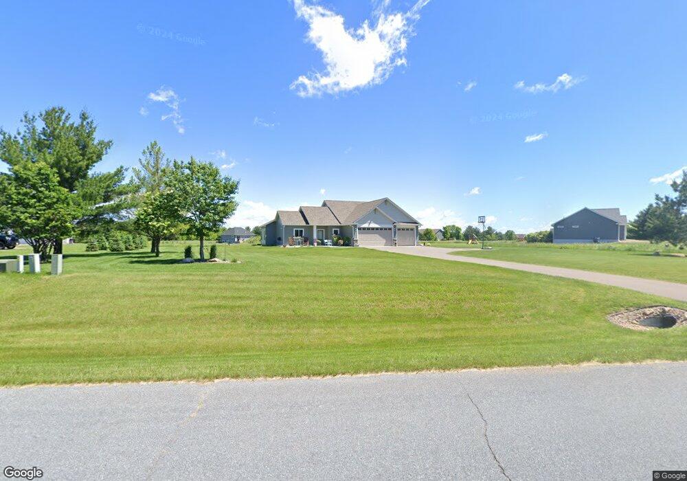
1626 Waters Edge Dr New Richmond, WI 54017
Richmond NeighborhoodEstimated Value: $409,000 - $494,000
3
Beds
2
Baths
1,537
Sq Ft
$297/Sq Ft
Est. Value
About This Home
This home is located at 1626 Waters Edge Dr, New Richmond, WI 54017 and is currently estimated at $456,727, approximately $297 per square foot. 1626 Waters Edge Dr is a home located in St. Croix County with nearby schools including New Richmond High School and St. Mary School.
Ownership History
Date
Name
Owned For
Owner Type
Purchase Details
Closed on
May 27, 2022
Sold by
Popenhagen and Trudy
Bought by
Popenhagen Adam
Current Estimated Value
Home Financials for this Owner
Home Financials are based on the most recent Mortgage that was taken out on this home.
Original Mortgage
$225,000
Outstanding Balance
$187,411
Interest Rate
4.17%
Mortgage Type
New Conventional
Estimated Equity
$269,316
Purchase Details
Closed on
Dec 30, 2021
Sold by
Dcci Land Planners Inc
Bought by
Popenhagen Lloyd and Popenhagen Trudy
Home Financials for this Owner
Home Financials are based on the most recent Mortgage that was taken out on this home.
Original Mortgage
$339,500
Interest Rate
3.11%
Mortgage Type
New Conventional
Purchase Details
Closed on
Feb 23, 2021
Sold by
Derrick Ronald L and Derrick Thomas E
Bought by
Dcci Land Planners Inc
Create a Home Valuation Report for This Property
The Home Valuation Report is an in-depth analysis detailing your home's value as well as a comparison with similar homes in the area
Home Values in the Area
Average Home Value in this Area
Purchase History
| Date | Buyer | Sale Price | Title Company |
|---|---|---|---|
| Popenhagen Adam | -- | None Listed On Document | |
| Popenhagen Lloyd | $424,400 | St Croix County Abstract & T | |
| Dcci Land Planners Inc | -- | None Available | |
| Derrick Ronald L | -- | None Available |
Source: Public Records
Mortgage History
| Date | Status | Borrower | Loan Amount |
|---|---|---|---|
| Open | Popenhagen Adam | $225,000 | |
| Previous Owner | Popenhagen Lloyd | $339,500 |
Source: Public Records
Tax History Compared to Growth
Tax History
| Year | Tax Paid | Tax Assessment Tax Assessment Total Assessment is a certain percentage of the fair market value that is determined by local assessors to be the total taxable value of land and additions on the property. | Land | Improvement |
|---|---|---|---|---|
| 2024 | $52 | $414,700 | $43,500 | $371,200 |
| 2023 | $4,853 | $414,700 | $43,500 | $371,200 |
| 2022 | $466 | $401,100 | $43,500 | $357,600 |
| 2021 | $402 | $43,500 | $43,500 | $0 |
| 2020 | $444 | $24,200 | $24,200 | $0 |
| 2019 | $429 | $24,200 | $24,200 | $0 |
| 2018 | $413 | $24,200 | $24,200 | $0 |
| 2017 | $404 | $24,200 | $24,200 | $0 |
| 2016 | $404 | $24,200 | $24,200 | $0 |
| 2015 | $419 | $24,200 | $24,200 | $0 |
| 2014 | $406 | $24,200 | $24,200 | $0 |
| 2013 | $388 | $24,200 | $24,200 | $0 |
Source: Public Records
Map
Nearby Homes
- 1650 Waters Edge Dr
- 1419 Blue Jay Place
- 1267 Naser Way
- 1325 Island View Dr
- 1642 147 St
- 1415 Wood Duck Ln
- 1354 Wisteria Ln
- 1347 Orchid Way
- 1335 Orchid Way
- 1389 Mallard Ln
- 1310 Rose St
- 1342 Rose St
- 1600 Hallewood Blvd
- 1332 Rose St
- 1350 Orchid Way
- 1336 Orchid Way
- 1186 Wisteria Ln
- Arlow Plan at Meadow Crossing
- Hudson Plan at Meadow Crossing
- Nora Plan at Meadow Crossing
- 1628 Waters Edge Dr
- 1624 Waters Edge Dr
- 1439 166th Ave
- 1421 166th Ave
- 1630 Waters Edge Dr
- 1443 166th Ave
- 1627 Waters Edge Dr
- 1629 Waters Edge Dr
- 1447 166th-Avenue-
- 1447 166th Ave
- 1424 166th Ave
- 1664 Waters Edge Dr
- 1421 166th Ave
- 1430 166th Ave
- Lot 1 Waters Edge Dr
- 1656 Waters Edge Dr
- 1652 Waters Edge Dr
- 1440 166th Ave
- Lot 24 Waters Edge Dr
- 1436 166th Ave