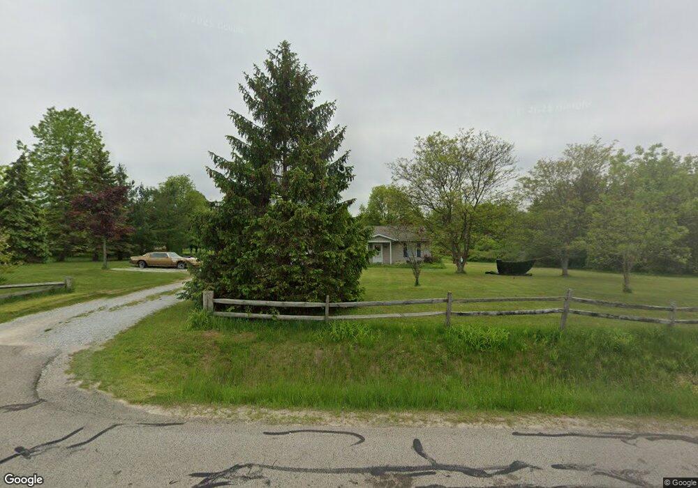
16261 Burrows Rd Thompson, OH 44086
Estimated Value: $224,000 - $260,000
3
Beds
2
Baths
1,380
Sq Ft
$173/Sq Ft
Est. Value
About This Home
This home is located at 16261 Burrows Rd, Thompson, OH 44086 and is currently estimated at $238,264, approximately $172 per square foot. 16261 Burrows Rd is a home located in Geauga County.
Ownership History
Date
Name
Owned For
Owner Type
Purchase Details
Closed on
Nov 28, 2003
Sold by
Otte Gary L and Otte Mary Mrowca
Bought by
Auth Timothy L and Auth Christina R
Current Estimated Value
Home Financials for this Owner
Home Financials are based on the most recent Mortgage that was taken out on this home.
Original Mortgage
$132,914
Outstanding Balance
$58,943
Interest Rate
6.07%
Mortgage Type
FHA
Estimated Equity
$179,321
Purchase Details
Closed on
Jul 22, 1999
Sold by
Dewitt Steve D and Dewitt Lisa Y
Bought by
Otte Gary L
Home Financials for this Owner
Home Financials are based on the most recent Mortgage that was taken out on this home.
Original Mortgage
$74,500
Interest Rate
7.54%
Purchase Details
Closed on
Jul 28, 1994
Sold by
Andru Mark
Bought by
Philpott Mathew J and Philpott Kristie M
Home Financials for this Owner
Home Financials are based on the most recent Mortgage that was taken out on this home.
Original Mortgage
$95,950
Interest Rate
7.75%
Mortgage Type
New Conventional
Create a Home Valuation Report for This Property
The Home Valuation Report is an in-depth analysis detailing your home's value as well as a comparison with similar homes in the area
Purchase History
| Date | Buyer | Sale Price | Title Company |
|---|---|---|---|
| Auth Timothy L | $135,000 | Advanced-Affiliated Title Ag | |
| Otte Gary L | $118,000 | Continental Title Agency Cor | |
| Philpott Mathew J | $101,000 | -- |
Source: Public Records
Mortgage History
| Date | Status | Borrower | Loan Amount |
|---|---|---|---|
| Open | Auth Timothy L | $132,914 | |
| Closed | Otte Gary L | $74,500 | |
| Previous Owner | Philpott Mathew J | $95,950 |
Source: Public Records
Tax History
| Year | Tax Paid | Tax Assessment Tax Assessment Total Assessment is a certain percentage of the fair market value that is determined by local assessors to be the total taxable value of land and additions on the property. | Land | Improvement |
|---|---|---|---|---|
| 2024 | $2,138 | $57,540 | $8,120 | $49,420 |
| 2023 | $2,203 | $57,540 | $8,120 | $49,420 |
| 2022 | $1,830 | $42,180 | $6,860 | $35,320 |
| 2021 | $1,837 | $42,180 | $6,860 | $35,320 |
| 2020 | $1,876 | $42,180 | $6,860 | $35,320 |
| 2019 | $1,551 | $37,560 | $6,860 | $30,700 |
| 2018 | $1,689 | $37,560 | $6,860 | $30,700 |
| 2017 | $1,551 | $37,560 | $6,860 | $30,700 |
| 2016 | $1,413 | $35,280 | $6,860 | $28,420 |
| 2015 | $1,348 | $35,280 | $6,860 | $28,420 |
| 2014 | $1,348 | $35,280 | $6,860 | $28,420 |
| 2013 | $1,368 | $35,280 | $6,860 | $28,420 |
Source: Public Records
Map
Nearby Homes
- VL 15 Acres Madison Rd
- 0 Rock Creek Rd
- 17506 Leggett Rd
- 8494 Murphy Rd
- 0 Murphy Rd
- 10268 Madison Rd
- 14895 Gar Hwy
- 4429 Ireland Rd
- 14161 Radcliffe Rd
- 6615 Clay St
- 7771 Lester Dr
- V/L 1 Leroy Center Rd
- 16107 Moseley Rd
- 18000 Thompson Rd
- 10961 Madison Rd
- 15594 Moseley Rd
- 6810 Barrett Rd
- 11179 Madison Rd
- 11361 Clay St
- 17373 Stocking Rd
- 16275 Burrows Rd
- 16245 Burrows Rd
- 16291 Burrows Rd
- 8471 Dewey Rd
- 16209 Burrows Rd
- 16301 Burrows Rd
- 16323 Burrows Rd
- 8421 Dewey Rd
- 8485 Dewey Rd
- 8463 Dewey Rd
- 16333 Burrows Rd
- 8499 Dewey Rd
- 16370 Burrows Rd
- 8450 Dewey Rd
- 16355 Burrows Rd
- 8533 Dewey Rd
- 8460 Dewey Rd
- 8500 Dewey Rd
- 16384 Burrows Rd
- 16383 Burrows Rd
Your Personal Tour Guide
Ask me questions while you tour the home.