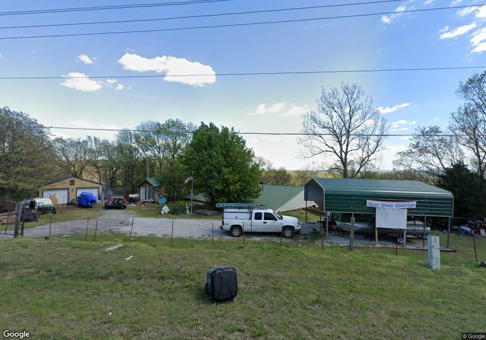
16261 N Javine Hill Rd Skiatook, OK 74070
Estimated Value: $247,959 - $309,000
3
Beds
2
Baths
2,203
Sq Ft
$130/Sq Ft
Est. Value
About This Home
This home is located at 16261 N Javine Hill Rd, Skiatook, OK 74070 and is currently estimated at $287,490, approximately $130 per square foot. 16261 N Javine Hill Rd is a home with nearby schools including Marrs Elementary School, Newman Middle School, and Skiatook High School.
Ownership History
Date
Name
Owned For
Owner Type
Purchase Details
Closed on
May 8, 2014
Sold by
Lafever Chastity J
Bought by
Allbritton Oren A
Current Estimated Value
Purchase Details
Closed on
Nov 24, 2003
Sold by
Federal National Mortgage Asso
Bought by
Lafever Chastity J
Purchase Details
Closed on
Sep 2, 2003
Sold by
Soule Raymond G
Bought by
Federal National Mortgage Assoc
Purchase Details
Closed on
May 9, 1994
Sold by
Brown Stephen W
Bought by
Soule Raymond G
Create a Home Valuation Report for This Property
The Home Valuation Report is an in-depth analysis detailing your home's value as well as a comparison with similar homes in the area
Home Values in the Area
Average Home Value in this Area
Purchase History
| Date | Buyer | Sale Price | Title Company |
|---|---|---|---|
| Allbritton Oren A | $55,000 | -- | |
| Lafever Chastity J | $43,000 | -- | |
| Federal National Mortgage Assoc | -- | -- | |
| Soule Raymond G | $72,500 | -- |
Source: Public Records
Tax History Compared to Growth
Tax History
| Year | Tax Paid | Tax Assessment Tax Assessment Total Assessment is a certain percentage of the fair market value that is determined by local assessors to be the total taxable value of land and additions on the property. | Land | Improvement |
|---|---|---|---|---|
| 2025 | $1,258 | $12,639 | $1,169 | $11,470 |
| 2024 | $1,043 | $10,444 | $1,113 | $9,331 |
| 2023 | $1,043 | $9,947 | $1,113 | $8,834 |
| 2022 | $938 | $9,022 | $1,113 | $7,909 |
| 2021 | $897 | $9,022 | $1,113 | $7,909 |
| 2020 | $848 | $8,483 | $1,113 | $7,370 |
| 2019 | $859 | $8,483 | $1,113 | $7,370 |
| 2018 | $855 | $8,483 | $1,113 | $7,370 |
| 2017 | $868 | $8,483 | $1,113 | $7,370 |
| 2016 | $871 | $8,480 | $1,113 | $7,367 |
| 2015 | $857 | $8,407 | $1,113 | $7,294 |
| 2014 | $1,282 | $13,235 | $1,113 | $12,122 |
| 2013 | $1,221 | $12,605 | $1,113 | $11,492 |
Source: Public Records
Map
Nearby Homes
- 5117 Woodland Dr
- 15971 Munson Ct
- 16561 N 56th West Ave
- 15823 Colonial Ln
- 5694 W 161st St N
- 5854 W 168th St N
- 15524 N 55th West Ave
- 15439 N 55th West Ave
- 501 Maplewood Ln
- 101 N Castle St
- 4202 W Pipestem Dr
- 103 N Phillips St
- 2 N Phillips St
- 1 N Phillips St
- 3 N Phillips St
- 760 N Quapaw St
- 0 N 46th West Ave
- 4 N 52nd West Ave
- 8 N 52nd West Ave
- 3 N 52nd West Ave
- 16161 N Javine Hill Rd
- 16262 N Javine Hill Rd
- 4885 Woodland Dr
- 4943 Woodland Dr
- 16093 N Javine Hill Rd
- 4975 Woodland Dr
- 16538 Javine Hill Rd
- 16123 Woodland Dr
- 16085 N Javine Hill Rd
- 16210 Woodland Cir
- 4940 Woodland Dr
- 16195 Woodland Cir
- 4820 W 165th St N
- 0 Woodland Cir
- 16097 Woodland Cir
- 4481 Malibu Canyon Rd
- 4721 Malibu Canyon Rd
- null Woodland Cir
- 16087 N Woodland Cir W
- 5042 Woodland Dr