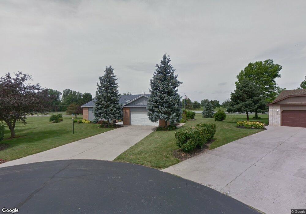
16268 Maureen Dr Kenton, OH 43326
Estimated Value: $259,215 - $309,000
2
Beds
2
Baths
1,846
Sq Ft
$152/Sq Ft
Est. Value
About This Home
This home is located at 16268 Maureen Dr, Kenton, OH 43326 and is currently estimated at $280,304, approximately $151 per square foot. 16268 Maureen Dr is a home located in Hardin County with nearby schools including Kenton Elementary School, Kenton Middle School, and Kenton High School.
Ownership History
Date
Name
Owned For
Owner Type
Purchase Details
Closed on
Jan 28, 2015
Sold by
Dunahue Donald M and Dunhaue Gloria J
Bought by
Reed Shauna L and Dunhaue Donald M
Current Estimated Value
Purchase Details
Closed on
Aug 26, 2004
Bought by
Dunahue Donald M and Dunahue Glori
Purchase Details
Closed on
Sep 11, 1997
Bought by
Marshall Robert P Truste
Create a Home Valuation Report for This Property
The Home Valuation Report is an in-depth analysis detailing your home's value as well as a comparison with similar homes in the area
Home Values in the Area
Average Home Value in this Area
Purchase History
| Date | Buyer | Sale Price | Title Company |
|---|---|---|---|
| Reed Shauna L | -- | None Available | |
| Dunahue Donald M | $150,000 | -- | |
| Marshall Robert P Truste | -- | -- |
Source: Public Records
Tax History
| Year | Tax Paid | Tax Assessment Tax Assessment Total Assessment is a certain percentage of the fair market value that is determined by local assessors to be the total taxable value of land and additions on the property. | Land | Improvement |
|---|---|---|---|---|
| 2024 | $2,332 | $75,450 | $11,910 | $63,540 |
| 2023 | $2,363 | $75,450 | $11,910 | $63,540 |
| 2022 | $2,077 | $63,260 | $5,820 | $57,440 |
| 2021 | $2,084 | $63,260 | $5,820 | $57,440 |
| 2020 | $1,802 | $63,260 | $5,820 | $57,440 |
| 2019 | $1,279 | $51,170 | $5,540 | $45,630 |
| 2018 | $1,280 | $51,170 | $5,540 | $45,630 |
| 2017 | $1,241 | $51,170 | $5,540 | $45,630 |
| 2016 | $1,217 | $51,610 | $5,430 | $46,180 |
| 2015 | $1,797 | $51,610 | $5,430 | $46,180 |
| 2014 | $1,517 | $51,610 | $5,430 | $46,180 |
| 2013 | $1,739 | $55,740 | $5,430 | $50,310 |
Source: Public Records
Map
Nearby Homes
- 12160 Pamela Dr
- 16439 County Road 144
- 11925 County Road 175
- 11896 Parklane Dr
- 501 East St
- 920 Cooper St
- 820 King St
- 89 Broadway St
- 79 Broadway St
- 39 Grape St
- 530 E Franklin St
- 13450 State Route 292
- 510 Decatur St
- 508 Decatur St
- 354 S Barron St
- 619 E North St
- 509 E North St
- 121 S High St
- 639 S Main St
- 405 E Carrol St Unit 405 1/2
- 16283 Maureen Dr
- 16295 Maureen Dr
- 16284 Maureen Dr
- 16296 Maureen Dr
- 16315 Maureen Dr
- 12287 Pamela Dr
- 12353 Lora Dr
- 16350 Maureen Dr
- 12354 Lora Dr
- 12257 Pamela Dr
- 12327 Pamela Dr
- 12270 Pamela Dr
- 12306 Pamela Dr
- 16381 Maureen Dr
- 16382 Maureen Dr
- 16391 Lindsey Dr
- 12324 Pamela Dr
- 12381 Barbara Dr
- 12235 Pamela Dr
Your Personal Tour Guide
Ask me questions while you tour the home.