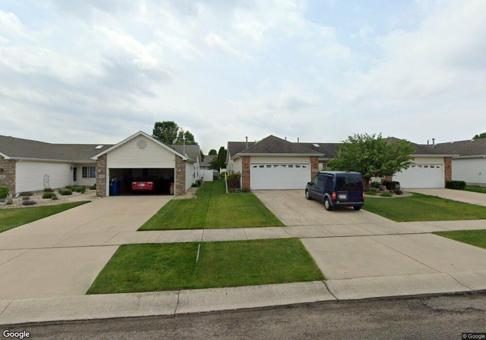
1627 Fir Ave Crown Point, IN 46307
Estimated Value: $282,000 - $289,000
3
Beds
2
Baths
1,632
Sq Ft
$176/Sq Ft
Est. Value
About This Home
This home is located at 1627 Fir Ave, Crown Point, IN 46307 and is currently estimated at $287,157, approximately $175 per square foot. 1627 Fir Ave is a home located in Lake County with nearby schools including Timothy Ball Elementary School, Colonel John Wheeler Middle School, and Crown Point High School.
Ownership History
Date
Name
Owned For
Owner Type
Purchase Details
Closed on
Jun 13, 2006
Sold by
Mindas Karen
Bought by
Mindas Karen and Mindas Living Trust
Current Estimated Value
Purchase Details
Closed on
Jan 27, 2006
Sold by
Naumowich Charles A
Bought by
Mindas Karen
Home Financials for this Owner
Home Financials are based on the most recent Mortgage that was taken out on this home.
Original Mortgage
$74,900
Outstanding Balance
$42,589
Interest Rate
6.37%
Mortgage Type
Fannie Mae Freddie Mac
Estimated Equity
$244,568
Create a Home Valuation Report for This Property
The Home Valuation Report is an in-depth analysis detailing your home's value as well as a comparison with similar homes in the area
Home Values in the Area
Average Home Value in this Area
Purchase History
| Date | Buyer | Sale Price | Title Company |
|---|---|---|---|
| Mindas Karen | -- | None Available | |
| Mindas Karen | -- | Chicago Title Insurance Comp |
Source: Public Records
Mortgage History
| Date | Status | Borrower | Loan Amount |
|---|---|---|---|
| Open | Mindas Karen | $74,900 |
Source: Public Records
Tax History Compared to Growth
Tax History
| Year | Tax Paid | Tax Assessment Tax Assessment Total Assessment is a certain percentage of the fair market value that is determined by local assessors to be the total taxable value of land and additions on the property. | Land | Improvement |
|---|---|---|---|---|
| 2024 | $5,912 | $238,400 | $34,700 | $203,700 |
| 2023 | $2,229 | $215,100 | $34,700 | $180,400 |
| 2022 | $2,229 | $202,100 | $34,700 | $167,400 |
| 2021 | $2,089 | $189,800 | $30,100 | $159,700 |
| 2020 | $1,912 | $174,200 | $30,100 | $144,100 |
| 2019 | $1,871 | $166,600 | $30,100 | $136,500 |
| 2018 | $1,887 | $160,800 | $30,100 | $130,700 |
| 2017 | $1,896 | $160,000 | $30,100 | $129,900 |
| 2016 | $1,825 | $153,900 | $30,100 | $123,800 |
| 2014 | $1,684 | $153,900 | $30,100 | $123,800 |
| 2013 | $1,670 | $151,800 | $30,100 | $121,700 |
Source: Public Records
Map
Nearby Homes
- 1639 Fir Ave
- 4525 W 113th Ave
- 1816 Elderberry Ct
- 1746 Chestnut Dr
- 1593 Edith Way
- 1710 Beech Dr
- 1250 E North St
- 936 Seneca Dr
- 508 W 117th Place
- 901 Iroquois Dr
- 11664 Broadway
- 407 Prairie St
- 310 N Indiana Ave
- 411 Prairie St
- 360 N Indiana Ave
- 380 N Indiana Ave
- 531 E Joliet St
- 266 Maxwell St
- 269 Maxwell St
- 10935-11005 Delaware Pkwy
- 1631 Fir Ave
- 1623 Fir Ave
- 1635 Fir Ave
- 1615 Fir Ave
- 1611 Fir Ave
- 1630 Golden Oak Dr
- 1634 Golden Oak Dr
- 1626 Golden Oak Dr
- 1643 Fir Ave
- 1609 Fir Ave
- 1642 Golden Oak Dr
- 1618 Golden Oak Dr
- 1647 Fir Ave
- 1607 Fir Ave
- 1626 Fir Ave
- 1630 Fir Ave
- 1622 Fir Ave
- 1646 Golden Oak Dr
- 1614 Golden Oak Dr
- 1634 Fir Ave