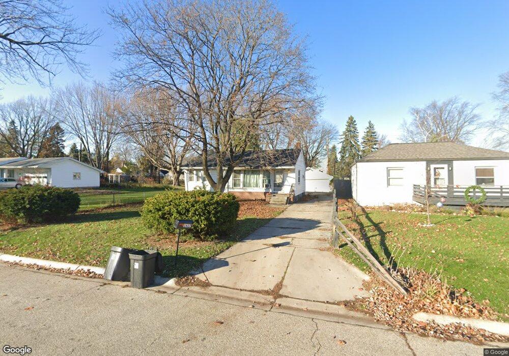
1627 Mcpherson St Port Huron, MI 48060
Estimated Value: $145,000 - $180,000
3
Beds
2
Baths
884
Sq Ft
$188/Sq Ft
Est. Value
About This Home
This home is located at 1627 Mcpherson St, Port Huron, MI 48060 and is currently estimated at $166,329, approximately $188 per square foot. 1627 Mcpherson St is a home located in St. Clair County with nearby schools including H.D. Crull Elementary School, Holland Woods Middle School, and Port Huron Northern High School.
Ownership History
Date
Name
Owned For
Owner Type
Purchase Details
Closed on
Jul 1, 2023
Sold by
Jay Folsker
Bought by
Hetzel Nathan C
Current Estimated Value
Purchase Details
Closed on
Oct 26, 2007
Sold by
Nichols Kelly L and Larsen Kelly L
Bought by
Folske Jay
Create a Home Valuation Report for This Property
The Home Valuation Report is an in-depth analysis detailing your home's value as well as a comparison with similar homes in the area
Home Values in the Area
Average Home Value in this Area
Purchase History
| Date | Buyer | Sale Price | Title Company |
|---|---|---|---|
| Hetzel Nathan C | -- | None Listed On Document | |
| Folske Jay | $100,000 | Philip R Seaver Title Compan |
Source: Public Records
Tax History Compared to Growth
Tax History
| Year | Tax Paid | Tax Assessment Tax Assessment Total Assessment is a certain percentage of the fair market value that is determined by local assessors to be the total taxable value of land and additions on the property. | Land | Improvement |
|---|---|---|---|---|
| 2025 | $3,163 | $72,300 | $0 | $0 |
| 2024 | $2,742 | $68,100 | $0 | $0 |
| 2023 | $2,060 | $60,800 | $0 | $0 |
| 2022 | $2,168 | $52,800 | $0 | $0 |
| 2021 | $1,868 | $50,000 | $0 | $0 |
| 2020 | $1,875 | $46,600 | $46,600 | $0 |
| 2019 | $1,842 | $32,400 | $0 | $0 |
| 2018 | $1,800 | $32,400 | $0 | $0 |
| 2017 | $1,652 | $30,500 | $0 | $0 |
| 2016 | $1,471 | $30,500 | $0 | $0 |
| 2015 | $1,585 | $27,600 | $27,600 | $0 |
| 2014 | $1,585 | $26,800 | $26,800 | $0 |
| 2013 | -- | $26,800 | $0 | $0 |
Source: Public Records
Map
Nearby Homes
- 1620 McBrady St
- 1649 Whipple St
- 1733 Whipple St
- 1907 Riverside Dr
- 1819 Riverside Dr
- 1433 Poplar St
- 0000 Campau Ave
- 1417 Kearney St
- 2400 Stone St Unit 2414
- 2215 Hancock St
- 29 Taylor St
- 1116 Hancock St
- 2419 Cherry St
- 2736 17th Ave
- 1321 Nelson St
- 1819 Kern St
- 1825 Kern St
- 2838 Elmwood St
- 917 Saint Clair St
- 2812 19th Ave
- 1619 Mcpherson St
- 1615 Mcpherson St
- 1639 Mcpherson St
- 1611 Mcpherson St
- 1645 Mcpherson St
- 1626 Mcpherson St
- 1630 Mcpherson St
- 1632 Lyon St
- 1620 Mcpherson St
- 1813 12th Ave
- 1603 Mcpherson St
- 1620 Lyon St
- 1624 Lyon St
- 1821 12th Ave
- 1614 Mcpherson St
- 1638 Lyon St
- 1638 Mcpherson St
- 1610 Mcpherson St
- 1618 Lyon St
- 1642 Lyon St