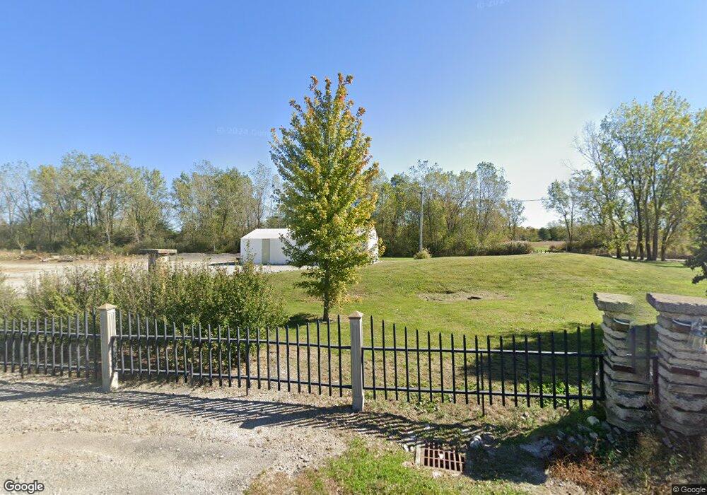
16272 Boundry Rd Wapakoneta, OH 45895
Estimated Value: $643,434
--
Bed
1
Bath
960
Sq Ft
$670/Sq Ft
Est. Value
About This Home
This home is located at 16272 Boundry Rd, Wapakoneta, OH 45895 and is currently priced at $643,434, approximately $670 per square foot. 16272 Boundry Rd is a home located in Auglaize County with nearby schools including Waynesfield-Goshen Local Elementary School and Waynesfield-Goshen Local High School.
Ownership History
Date
Name
Owned For
Owner Type
Purchase Details
Closed on
Nov 25, 2024
Sold by
Meyer Mark D
Bought by
Paradise Acres Ltd
Current Estimated Value
Purchase Details
Closed on
Nov 21, 2024
Sold by
Meyer Pamela J and Holderbaum Pamela J
Bought by
Meyer Mark D
Purchase Details
Closed on
Mar 29, 2023
Sold by
Meyer Mark D and Meyer Pamela J
Bought by
Paradise Acres Ltd
Purchase Details
Closed on
Jul 27, 2010
Sold by
Burden Kenneth D and Burden Kimberly S
Bought by
Meyer Mark D and Meyer Pamela J
Home Financials for this Owner
Home Financials are based on the most recent Mortgage that was taken out on this home.
Original Mortgage
$80,000
Interest Rate
4.81%
Mortgage Type
Unknown
Purchase Details
Closed on
Mar 31, 2003
Bought by
Burden Kenneth D
Purchase Details
Closed on
Nov 17, 1992
Bought by
Joseph Richard F
Create a Home Valuation Report for This Property
The Home Valuation Report is an in-depth analysis detailing your home's value as well as a comparison with similar homes in the area
Home Values in the Area
Average Home Value in this Area
Purchase History
| Date | Buyer | Sale Price | Title Company |
|---|---|---|---|
| Paradise Acres Ltd | $170,000 | None Listed On Document | |
| Meyer Mark D | -- | None Listed On Document | |
| Paradise Acres Ltd | -- | -- | |
| Meyer Mark D | $100,000 | Attorney | |
| Burden Kenneth D | -- | -- | |
| Joseph Richard F | $127,600 | -- |
Source: Public Records
Mortgage History
| Date | Status | Borrower | Loan Amount |
|---|---|---|---|
| Previous Owner | Meyer Mark D | $80,000 |
Source: Public Records
Tax History Compared to Growth
Tax History
| Year | Tax Paid | Tax Assessment Tax Assessment Total Assessment is a certain percentage of the fair market value that is determined by local assessors to be the total taxable value of land and additions on the property. | Land | Improvement |
|---|---|---|---|---|
| 2024 | $2,123 | $33,920 | $32,460 | $1,460 |
| 2023 | $1,601 | $33,920 | $32,460 | $1,460 |
| 2022 | $1,350 | $26,760 | $25,080 | $1,680 |
| 2021 | $1,354 | $26,760 | $25,080 | $1,680 |
| 2020 | $1,349 | $26,765 | $25,085 | $1,680 |
| 2019 | $1,299 | $26,765 | $25,085 | $1,680 |
| 2018 | $1,077 | $26,765 | $25,085 | $1,680 |
| 2017 | $1,066 | $26,765 | $25,085 | $1,680 |
| 2016 | $989 | $25,568 | $23,888 | $1,680 |
| 2015 | $985 | $25,568 | $23,888 | $1,680 |
| 2014 | $986 | $25,568 | $23,888 | $1,680 |
| 2013 | $1,225 | $25,568 | $23,888 | $1,680 |
Source: Public Records
Map
Nearby Homes
- 20630 State Route 67
- 21015 Fairmount Rd
- 17 E Walnut St
- 80 Main St
- 37 N Main St
- 0 Ohio 67
- 18258 Graham Rd
- 202 W Mulberry St
- 25836 Ohio 67
- 202 Karen St
- 5065 Amherst Rd
- 17946 National Rd
- 17092 Hauss Rd
- 8150 Amherst Rd
- 212 S Oak St
- 1805 Huntington Dr
- 1835 Huntington Dr
- 5116 S Dixie Hwy
- 1200 E Breese Rd
- 4850 Bowdle Rd