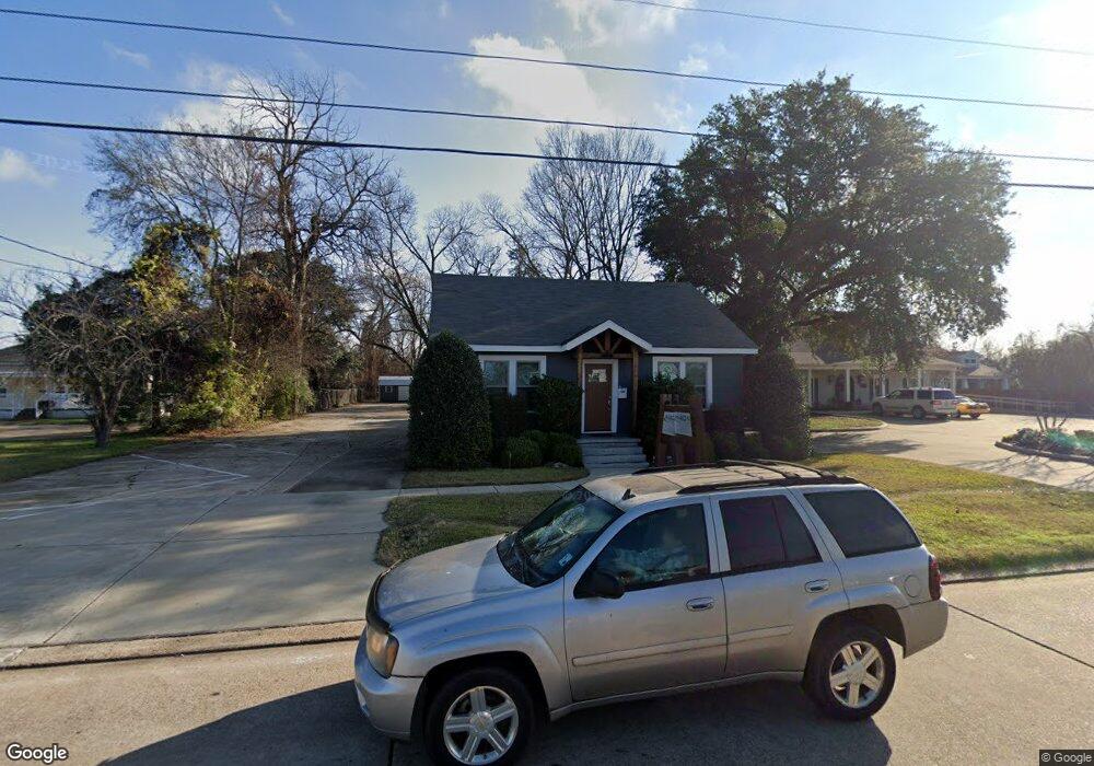
1628 Benton Rd Bossier City, LA 71111
East Shreveport NeighborhoodEstimated Value: $262,454
--
Bed
--
Bath
1,366
Sq Ft
$192/Sq Ft
Est. Value
About This Home
This home is located at 1628 Benton Rd, Bossier City, LA 71111 and is currently estimated at $262,454, approximately $192 per square foot. 1628 Benton Rd is a home located in Bossier Parish with nearby schools including Plantation Park Elementary School, Greenacres Middle School, and Airline High School.
Ownership History
Date
Name
Owned For
Owner Type
Purchase Details
Closed on
Dec 6, 2019
Sold by
Citizens B & T Co
Bought by
Nixon Engineering Solutns
Current Estimated Value
Home Financials for this Owner
Home Financials are based on the most recent Mortgage that was taken out on this home.
Original Mortgage
$1
Outstanding Balance
$1
Interest Rate
3.75%
Mortgage Type
Stand Alone Refi Refinance Of Original Loan
Purchase Details
Closed on
Dec 30, 2009
Sold by
Hooper Stacy Boyd and Hooper Jocelyn Post
Bought by
Citizens Bank & Trust Company
Create a Home Valuation Report for This Property
The Home Valuation Report is an in-depth analysis detailing your home's value as well as a comparison with similar homes in the area
Home Values in the Area
Average Home Value in this Area
Purchase History
| Date | Buyer | Sale Price | Title Company |
|---|---|---|---|
| Nixon Engineering Solutns | $208,000 | None Available | |
| Citizens Bank & Trust Company | -- | None Available | |
| Citizens Bank & Trust Company | -- | None Available |
Source: Public Records
Mortgage History
| Date | Status | Borrower | Loan Amount |
|---|---|---|---|
| Open | Nixon Engineering Solutns | $1 |
Source: Public Records
Tax History Compared to Growth
Tax History
| Year | Tax Paid | Tax Assessment Tax Assessment Total Assessment is a certain percentage of the fair market value that is determined by local assessors to be the total taxable value of land and additions on the property. | Land | Improvement |
|---|---|---|---|---|
| 2024 | $4,008 | $33,013 | $16,282 | $16,731 |
| 2023 | $3,061 | $23,489 | $13,956 | $9,533 |
| 2022 | $2,518 | $23,489 | $13,956 | $9,533 |
| 2021 | $530 | $23,489 | $13,956 | $9,533 |
| 2020 | $919 | $8,586 | $5,740 | $2,846 |
| 2019 | $844 | $7,760 | $5,740 | $2,020 |
| 2018 | $844 | $7,760 | $5,740 | $2,020 |
| 2017 | $1,009 | $7,760 | $5,740 | $2,020 |
| 2016 | $1,009 | $7,760 | $5,740 | $2,020 |
| 2015 | $179 | $7,860 | $5,740 | $2,120 |
| 2014 | $179 | $7,860 | $5,740 | $2,120 |
Source: Public Records
Map
Nearby Homes
- 2109 Clovis St
- 2112 Clovis St
- 1701 Leslie St
- 1536 James St
- 1534 James St
- 1020 James St
- 1105 Len St
- 2510 Rosedale Place
- 2214 Wakefield Ave
- 2202 Belle Grove Dr
- 2502 Ashland Ave
- 2138 Airline Dr
- 2220 Belle Grove Dr
- 614 Kelly St
- 608 Kelly St
- 2602 Ashland Ave
- 2407 Benton Rd
- 501 Rugby Place
- 2300 Belmont Blvd
- 2526 Belmont Blvd