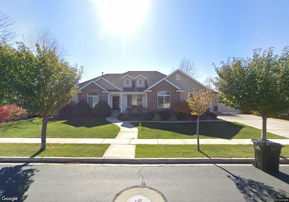
1628 E 260 N Spanish Fork, UT 84660
Estimated Value: $737,000 - $845,000
2
Beds
3
Baths
1,918
Sq Ft
$408/Sq Ft
Est. Value
About This Home
This home is located at 1628 E 260 N, Spanish Fork, UT 84660 and is currently estimated at $781,961, approximately $407 per square foot. 1628 E 260 N is a home located in Utah County with nearby schools including Sierra Bonita Elementary School, Mapleton Junior High School, and Maple Mountain High School.
Ownership History
Date
Name
Owned For
Owner Type
Purchase Details
Closed on
Jun 18, 2007
Sold by
Sunrise Ridge At Springville Llc
Bought by
Pickett Jerem H and Pickett Tiffany P
Current Estimated Value
Home Financials for this Owner
Home Financials are based on the most recent Mortgage that was taken out on this home.
Original Mortgage
$328,260
Outstanding Balance
$200,534
Interest Rate
6.16%
Mortgage Type
Purchase Money Mortgage
Estimated Equity
$581,427
Create a Home Valuation Report for This Property
The Home Valuation Report is an in-depth analysis detailing your home's value as well as a comparison with similar homes in the area
Home Values in the Area
Average Home Value in this Area
Purchase History
| Date | Buyer | Sale Price | Title Company |
|---|---|---|---|
| Pickett Jerem H | -- | Title West Title Company |
Source: Public Records
Mortgage History
| Date | Status | Borrower | Loan Amount |
|---|---|---|---|
| Open | Pickett Jerem H | $328,260 |
Source: Public Records
Tax History
| Year | Tax Paid | Tax Assessment Tax Assessment Total Assessment is a certain percentage of the fair market value that is determined by local assessors to be the total taxable value of land and additions on the property. | Land | Improvement |
|---|---|---|---|---|
| 2025 | $3,414 | $403,645 | -- | -- |
| 2024 | $3,414 | $351,835 | $0 | $0 |
| 2023 | $3,456 | $356,620 | $0 | $0 |
| 2022 | $3,466 | $350,790 | $0 | $0 |
| 2021 | $2,980 | $482,400 | $151,600 | $330,800 |
| 2020 | $2,769 | $435,800 | $137,800 | $298,000 |
| 2019 | $2,562 | $424,200 | $129,100 | $295,100 |
| 2018 | $2,564 | $410,500 | $118,100 | $292,400 |
| 2017 | $2,598 | $223,575 | $0 | $0 |
| 2016 | $2,532 | $214,940 | $0 | $0 |
| 2015 | $2,312 | $193,985 | $0 | $0 |
| 2014 | $2,304 | $193,985 | $0 | $0 |
Source: Public Records
Map
Nearby Homes
- 1005 E 260 N Unit 20
- 1495 E 400 N
- 1455 E 100 S
- 2672 E 360 N Unit MRVL09
- 1025 E 360 N Unit 5
- 1022 E 360 N Unit 27
- 991 E 360 N Unit 8
- 2137 E 200 N Unit MSF53
- 2138 E 200 N Unit MSF54
- 2163 E 200 N Unit MSF52
- 136 N 1120 E
- 453 N 1210 E
- 2117 E 130 N Unit 59
- 1563 E Mountain View Dr
- 53 S 2000 E
- 1238 E 680 N
- 1108 E 260 N
- 1261 E 680 N
- 998 E 260 N Unit 16
- 992 E 260 N Unit 15
Your Personal Tour Guide
Ask me questions while you tour the home.