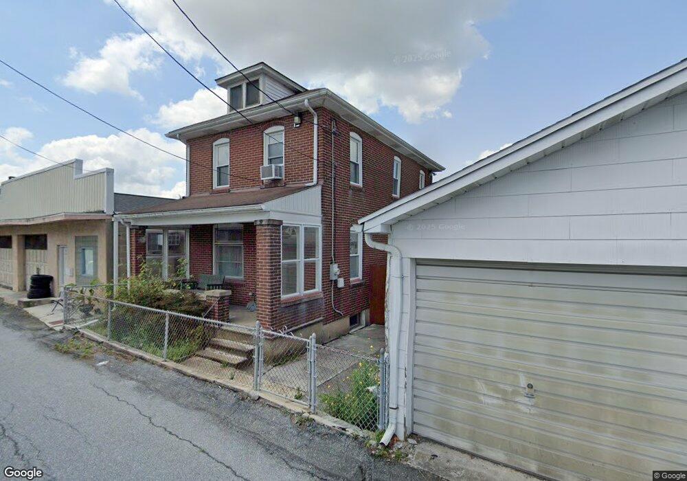
1628 Railroad St Northampton, PA 18067
Estimated Value: $151,000 - $214,000
3
Beds
1
Bath
1,256
Sq Ft
$148/Sq Ft
Est. Value
About This Home
This home is located at 1628 Railroad St, Northampton, PA 18067 and is currently estimated at $186,476, approximately $148 per square foot. 1628 Railroad St is a home located in Northampton County with nearby schools including Colonel John Siegfried Elementary School, Northampton Area Middle School, and Northampton Area High School.
Ownership History
Date
Name
Owned For
Owner Type
Purchase Details
Closed on
Oct 31, 2013
Sold by
Stubits David W and Stubits Laura L
Bought by
Stubits David W
Current Estimated Value
Purchase Details
Closed on
Dec 27, 2005
Sold by
Loher Helen M
Bought by
Stubits David W
Home Financials for this Owner
Home Financials are based on the most recent Mortgage that was taken out on this home.
Original Mortgage
$88,350
Outstanding Balance
$49,689
Interest Rate
6.28%
Mortgage Type
New Conventional
Estimated Equity
$136,787
Create a Home Valuation Report for This Property
The Home Valuation Report is an in-depth analysis detailing your home's value as well as a comparison with similar homes in the area
Home Values in the Area
Average Home Value in this Area
Purchase History
| Date | Buyer | Sale Price | Title Company |
|---|---|---|---|
| Stubits David W | -- | None Available | |
| Stubits David W | $93,000 | -- |
Source: Public Records
Mortgage History
| Date | Status | Borrower | Loan Amount |
|---|---|---|---|
| Open | Stubits David W | $88,350 |
Source: Public Records
Tax History Compared to Growth
Tax History
| Year | Tax Paid | Tax Assessment Tax Assessment Total Assessment is a certain percentage of the fair market value that is determined by local assessors to be the total taxable value of land and additions on the property. | Land | Improvement |
|---|---|---|---|---|
| 2025 | $329 | $30,500 | $9,100 | $21,400 |
| 2024 | $2,440 | $30,500 | $9,100 | $21,400 |
| 2023 | $2,410 | $30,500 | $9,100 | $21,400 |
| 2022 | $2,379 | $30,500 | $9,100 | $21,400 |
| 2021 | $2,385 | $30,500 | $9,100 | $21,400 |
| 2020 | $2,354 | $30,500 | $9,100 | $21,400 |
| 2019 | $2,307 | $30,500 | $9,100 | $21,400 |
| 2018 | $2,274 | $30,500 | $9,100 | $21,400 |
| 2017 | $2,228 | $30,500 | $9,100 | $21,400 |
| 2016 | -- | $30,500 | $9,100 | $21,400 |
| 2015 | -- | $30,500 | $9,100 | $21,400 |
| 2014 | -- | $30,500 | $9,100 | $21,400 |
Source: Public Records
Map
Nearby Homes
- 1638 Newport Ave
- 155 W 16th St
- 1613 Main St
- 1466 Main St
- 150 W 16th St
- 1510 Washington Ave
- 1529 Dewey Ave
- 1740 Washington Ave
- 1386 Segal Ct
- 1339 Washington Ave
- 1309 Newport Ave
- 1916 Washington Ave
- 5186 Stone Terrace Dr
- 5043 Foxdale Dr
- 221 E 21st St
- 2105 Cross Country Rd
- 32 N Front St
- 426 E 12th St
- 705 Main St
- 5208 3rd St
- 1625 Newport Ave
- 1639 Newport Ave
- 1639 Newport Ave Unit 2B
- 1639 Newport Ave Unit 1A
- 1631 Newport Ave
- 1617 Newport Ave
- 1614 Railroad St
- 1637 Newport Ave
- 1615 Newport Ave
- 1611 Newport Ave
- 1609 Newport Ave
- 1605 Newport Ave
- 1658 Railroad St
- 1651 Newport Ave
- 1657 Newport Ave
- 1540 Main St
- 1558 Main St
- 1659 Newport Ave
- 1560 Main St
- 1603 Newport Ave