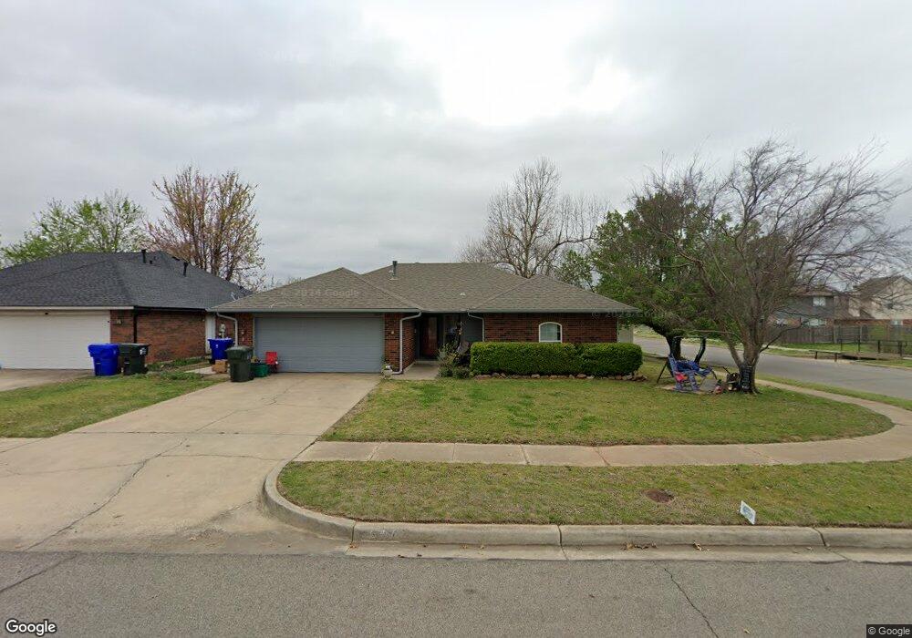
1628 War Bird Dr Norman, OK 73071
Northeast Norman NeighborhoodEstimated Value: $220,143 - $237,000
3
Beds
2
Baths
1,427
Sq Ft
$160/Sq Ft
Est. Value
About This Home
This home is located at 1628 War Bird Dr, Norman, OK 73071 and is currently estimated at $228,036, approximately $159 per square foot. 1628 War Bird Dr is a home located in Cleveland County with nearby schools including Jefferson Elementary School, Longfellow Middle School, and Norman North High School.
Ownership History
Date
Name
Owned For
Owner Type
Purchase Details
Closed on
Dec 21, 2011
Sold by
Swift Ann Teresa and Swift Robert Quincy
Bought by
Williams Michael L and Williams Chere A
Current Estimated Value
Home Financials for this Owner
Home Financials are based on the most recent Mortgage that was taken out on this home.
Original Mortgage
$87,296
Interest Rate
4.03%
Mortgage Type
Purchase Money Mortgage
Purchase Details
Closed on
Dec 1, 2005
Sold by
Swift Robert Quincy and Swift Ann Teresa
Bought by
Swift Anna Teresa and Swift Robert Quincy
Create a Home Valuation Report for This Property
The Home Valuation Report is an in-depth analysis detailing your home's value as well as a comparison with similar homes in the area
Home Values in the Area
Average Home Value in this Area
Purchase History
| Date | Buyer | Sale Price | Title Company |
|---|---|---|---|
| Williams Michael L | $120,000 | Fatco | |
| Swift Anna Teresa | -- | None Available |
Source: Public Records
Mortgage History
| Date | Status | Borrower | Loan Amount |
|---|---|---|---|
| Closed | Williams Michael L | $87,296 |
Source: Public Records
Tax History Compared to Growth
Tax History
| Year | Tax Paid | Tax Assessment Tax Assessment Total Assessment is a certain percentage of the fair market value that is determined by local assessors to be the total taxable value of land and additions on the property. | Land | Improvement |
|---|---|---|---|---|
| 2024 | $1,964 | $17,401 | $4,065 | $13,336 |
| 2023 | $2,030 | $16,894 | $3,411 | $13,483 |
| 2022 | $1,853 | $16,090 | $3,248 | $12,842 |
| 2021 | $1,860 | $15,324 | $3,225 | $12,099 |
| 2020 | $1,735 | $14,594 | $2,640 | $11,954 |
| 2019 | $1,764 | $14,594 | $2,640 | $11,954 |
| 2018 | $1,710 | $14,595 | $2,640 | $11,955 |
| 2017 | $1,730 | $14,595 | $0 | $0 |
| 2016 | $1,758 | $14,595 | $2,640 | $11,955 |
| 2015 | $1,645 | $14,086 | $2,640 | $11,446 |
| 2014 | $1,661 | $14,086 | $2,640 | $11,446 |
Source: Public Records
Map
Nearby Homes
- 1716 Wilderness Dr
- 413 Egret Ln
- 00 Daisy Ln
- 1608 N Crawford Ave
- 1504 Sandpiper Ln
- 220 Telstar St
- 219 E Dale St
- 127 E Hayes St
- 714 Oliver St
- 109 E Hayes St
- 602 E Johnson St Unit 600/602
- 718 E Johnson St
- 317 Wewoka Dr
- 208 Ridgefield Dr
- 622 E Frank St
- 412 N Findlay Ave
- 1514 Eisenhower Rd
- 2513 Ridgefield Dr
- 904 Hunting Horse Trail
- 300 Woodside Dr