Estimated Value: $354,000 - $422,736
3
Beds
2
Baths
1,700
Sq Ft
$223/Sq Ft
Est. Value
About This Home
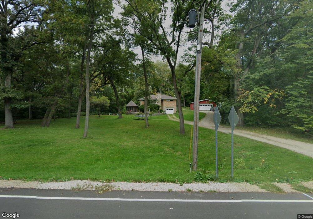
This home is located at 16293 Miller Rd, Plano, IL 60545 and is currently estimated at $379,434, approximately $223 per square foot. 16293 Miller Rd is a home located in Kendall County with nearby schools including P.H. Miller Elementary School, Centennial Elementary School, and Emily G. Johns School.
Ownership History
Date
Name
Owned For
Owner Type
Purchase Details
Closed on
Nov 22, 2017
Sold by
Reva J Negron Declaration Of Trust and Negron Reva J
Bought by
Garner Tristan L
Current Estimated Value
Home Financials for this Owner
Home Financials are based on the most recent Mortgage that was taken out on this home.
Original Mortgage
$189,050
Outstanding Balance
$158,790
Interest Rate
3.94%
Mortgage Type
New Conventional
Estimated Equity
$220,644
Purchase Details
Closed on
Apr 19, 2012
Sold by
Negron Reva J
Bought by
The Reva J Negron Declaration Of Trust and Negron Reva J
Create a Home Valuation Report for This Property
The Home Valuation Report is an in-depth analysis detailing your home's value as well as a comparison with similar homes in the area
Home Values in the Area
Average Home Value in this Area
Purchase History
| Date | Buyer | Sale Price | Title Company |
|---|---|---|---|
| Garner Tristan L | $199,000 | Near North National Title | |
| The Reva J Negron Declaration Of Trust | -- | None Available |
Source: Public Records
Mortgage History
| Date | Status | Borrower | Loan Amount |
|---|---|---|---|
| Open | Garner Tristan L | $189,050 |
Source: Public Records
Tax History Compared to Growth
Tax History
| Year | Tax Paid | Tax Assessment Tax Assessment Total Assessment is a certain percentage of the fair market value that is determined by local assessors to be the total taxable value of land and additions on the property. | Land | Improvement |
|---|---|---|---|---|
| 2024 | $7,384 | $104,386 | $34,416 | $69,970 |
| 2023 | $6,708 | $92,845 | $30,611 | $62,234 |
| 2022 | $6,708 | $84,713 | $27,930 | $56,783 |
| 2021 | $6,346 | $79,475 | $26,203 | $53,272 |
| 2020 | $6,411 | $77,916 | $25,689 | $52,227 |
| 2019 | $6,325 | $75,341 | $24,635 | $50,706 |
| 2018 | $7,456 | $82,689 | $23,462 | $59,227 |
| 2017 | $7,363 | $77,305 | $23,462 | $53,843 |
| 2016 | $6,743 | $70,282 | $23,462 | $46,820 |
| 2015 | $2,797 | $60,904 | $20,191 | $40,713 |
| 2014 | -- | $54,213 | $18,500 | $35,713 |
| 2013 | -- | $55,170 | $20,957 | $34,213 |
Source: Public Records
Map
Nearby Homes
- 1750 Little Rock Rd
- 1019 Freeman St
- 934 Vilman Rd
- 508 Ramsden Rd
- 1024 Daniel St
- 506 Hemmingsen St
- 17551 Frazier Rd
- 405 Cooper St
- 604 W Lee St
- 171 Woodland Dr
- 404 Sweetbriar Place
- 18 W Steward St
- 405 N Center St
- 302 N Center St
- 121 N Center St
- 111 W North St
- 3825 Drew Ave
- Lot 1 Blk 12 W John St
- 3860 Drew Ave
- 3810 Drew Ave