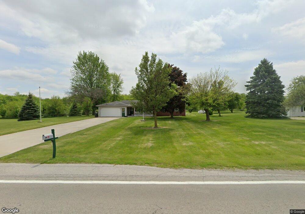
16298 State Route 613 Paulding, OH 45879
Estimated Value: $253,000 - $314,000
3
Beds
2
Baths
2,632
Sq Ft
$109/Sq Ft
Est. Value
About This Home
This home is located at 16298 State Route 613, Paulding, OH 45879 and is currently estimated at $285,845, approximately $108 per square foot. 16298 State Route 613 is a home located in Paulding County with nearby schools including Wayne Trace High School.
Ownership History
Date
Name
Owned For
Owner Type
Purchase Details
Closed on
Jul 5, 2000
Sold by
Smith Ruby D
Bought by
Thornell Jason R Thornell Beth A
Current Estimated Value
Purchase Details
Closed on
Jun 30, 2000
Sold by
Smith Royce E
Bought by
Thornell Jason R Thornell Beth A
Purchase Details
Closed on
Nov 20, 1984
Bought by
Thornell Jason R Thornell Beth A
Create a Home Valuation Report for This Property
The Home Valuation Report is an in-depth analysis detailing your home's value as well as a comparison with similar homes in the area
Purchase History
| Date | Buyer | Sale Price | Title Company |
|---|---|---|---|
| Thornell Jason R Thornell Beth A | $100,000 | -- | |
| Thornell Jason R Thornell Beth A | -- | -- | |
| Thornell Jason R Thornell Beth A | -- | -- |
Source: Public Records
Tax History
| Year | Tax Paid | Tax Assessment Tax Assessment Total Assessment is a certain percentage of the fair market value that is determined by local assessors to be the total taxable value of land and additions on the property. | Land | Improvement |
|---|---|---|---|---|
| 2024 | $3,074 | $73,150 | $9,800 | $63,350 |
| 2023 | $2,483 | $73,150 | $9,800 | $63,350 |
| 2022 | $2,362 | $73,150 | $9,800 | $63,350 |
| 2021 | $2,280 | $61,040 | $9,800 | $51,240 |
| 2020 | $2,356 | $61,040 | $9,800 | $51,240 |
| 2019 | $2,367 | $58,590 | $9,800 | $48,790 |
| 2018 | $2,087 | $58,590 | $9,800 | $48,790 |
| 2017 | $2,090 | $58,590 | $9,800 | $48,790 |
| 2016 | $2,030 | $58,590 | $9,800 | $48,790 |
| 2015 | $1,376 | $40,570 | $9,240 | $31,330 |
| 2014 | $1,394 | $40,570 | $9,240 | $31,330 |
| 2013 | $1,516 | $40,570 | $9,240 | $31,330 |
Source: Public Records
Map
Nearby Homes
- 16460 State Route 613
- 16303 Road 100
- 16528 State Route 613
- 16326 Road 100
- 16321 Road 100
- 16564 State Route 613
- 16580 State Route 613
- 16590 State Route 613
- 16614 State Route 613
- 15986 State Route 613
- 8033 Road 131
- 8045 Road 131
- 16654 State Route 613
- 7797 Road 131
- 15896 State Route 613
- 7713 Road 131
- 15896 State Route 613
- 15744 Bowman St
- 15488 Bowman St
- 16736 State Route 613