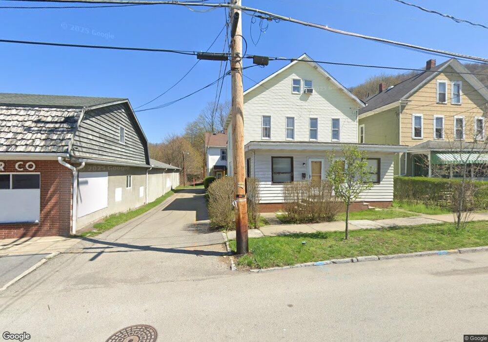
162R Dupont St Johnstown, PA 15902
Moxham NeighborhoodEstimated Value: $35,000 - $57,000
--
Bed
--
Bath
--
Sq Ft
1,437
Sq Ft Lot
About This Home
This home is located at 162R Dupont St, Johnstown, PA 15902 and is currently estimated at $45,000. 162R Dupont St is a home with nearby schools including Greater Johnstown Senior High School, St. Patrick Elementary School, and Genesis Christian Academy.
Ownership History
Date
Name
Owned For
Owner Type
Purchase Details
Closed on
Apr 19, 2021
Sold by
Seganos Peter P Jr Est
Bought by
Gunby Nelson A
Current Estimated Value
Home Financials for this Owner
Home Financials are based on the most recent Mortgage that was taken out on this home.
Original Mortgage
$12,000
Outstanding Balance
$10,843
Interest Rate
3.05%
Mortgage Type
Purchase Money Mortgage
Estimated Equity
$34,157
Purchase Details
Closed on
Apr 5, 2000
Bought by
Seganos Peter P
Create a Home Valuation Report for This Property
The Home Valuation Report is an in-depth analysis detailing your home's value as well as a comparison with similar homes in the area
Home Values in the Area
Average Home Value in this Area
Purchase History
| Date | Buyer | Sale Price | Title Company |
|---|---|---|---|
| Gunby Nelson A | $15,000 | None Available | |
| Seganos Peter P | $11,000 | -- |
Source: Public Records
Mortgage History
| Date | Status | Borrower | Loan Amount |
|---|---|---|---|
| Open | Gunby Nelson A | $12,000 |
Source: Public Records
Tax History Compared to Growth
Tax History
| Year | Tax Paid | Tax Assessment Tax Assessment Total Assessment is a certain percentage of the fair market value that is determined by local assessors to be the total taxable value of land and additions on the property. | Land | Improvement |
|---|---|---|---|---|
| 2025 | $387 | $4,660 | $340 | $4,320 |
| 2024 | $613 | $4,660 | $340 | $4,320 |
| 2023 | $613 | $4,660 | $340 | $4,320 |
| 2022 | $616 | $4,660 | $340 | $4,320 |
| 2021 | $627 | $4,660 | $340 | $4,320 |
| 2020 | $627 | $4,660 | $340 | $4,320 |
| 2019 | $627 | $4,660 | $340 | $4,320 |
| 2018 | $627 | $4,660 | $340 | $4,320 |
| 2017 | $621 | $4,660 | $340 | $4,320 |
| 2016 | $161 | $4,660 | $340 | $4,320 |
| 2015 | $137 | $4,660 | $340 | $4,320 |
| 2014 | $137 | $4,660 | $340 | $4,320 |
Source: Public Records
Map
Nearby Homes
- 736-738 / 185 Grove Avenue Charles St
- 210 Grove Ave
- 243 Lunen St
- 512 Cypress Ave Unit 14
- 936, 940, 942 Fronheiser
- 298 Lunen St
- 922-924 von Lunen Rd
- 609 Highland Ave
- 613 Coleman Ave
- 0 Forest Ave
- 506 Mcmillen St
- 926 Bloom St
- 1121 Boyd Ave
- 708-710 Coleman Ave
- 713 Linden Ave Unit 15
- 735 Grove Ave
- 1087 Mckinley Ave
- 704-706 Horner St
- 194 David St
- 825 Cypress Ave Unit 27
- 164 Dupont St Unit 164
- 162 Dupont St
- 166 Dupont St Unit 68
- 271 Grove Ave
- 265 Grove Ave Unit 67
- 261 Grove Ave
- 301 Grove Ave Unit 3
- 61-67 Dupont St Unit 305-3
- 0 Dupont St
- 305 Grove Ave Unit 7
- 255 Grove Ave
- 174 Dupont St Unit 6
- 304 Park Ave
- 309 Grove Ave Unit 11
- 178 Dupont St Unit 80
- 308 Park Ave Unit 310
- 308-310 Park Ave
- 327 Grove Ave Unit 329
- 327 Grove Ave Unit 29
- 260 Grove Ave Unit 262