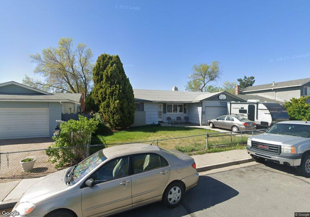
163 Abbay Way Sparks, NV 89431
McCarran Boulevard-Probasco NeighborhoodEstimated Value: $411,000 - $462,000
4
Beds
2
Baths
1,562
Sq Ft
$278/Sq Ft
Est. Value
About This Home
This home is located at 163 Abbay Way, Sparks, NV 89431 and is currently estimated at $434,731, approximately $278 per square foot. 163 Abbay Way is a home located in Washoe County with nearby schools including Lena Juniper Elementary School, Lou Mendive Middle School, and Edward C Reed High School.
Ownership History
Date
Name
Owned For
Owner Type
Purchase Details
Closed on
Jan 24, 2006
Sold by
Goode Patsy A
Bought by
Goode Patsy A and Goode Daniel M
Current Estimated Value
Home Financials for this Owner
Home Financials are based on the most recent Mortgage that was taken out on this home.
Original Mortgage
$103,542
Interest Rate
6.11%
Mortgage Type
New Conventional
Create a Home Valuation Report for This Property
The Home Valuation Report is an in-depth analysis detailing your home's value as well as a comparison with similar homes in the area
Home Values in the Area
Average Home Value in this Area
Purchase History
| Date | Buyer | Sale Price | Title Company |
|---|---|---|---|
| Goode Patsy A | -- | Accommodation |
Source: Public Records
Mortgage History
| Date | Status | Borrower | Loan Amount |
|---|---|---|---|
| Closed | Goode Patsy A | $103,542 |
Source: Public Records
Tax History Compared to Growth
Tax History
| Year | Tax Paid | Tax Assessment Tax Assessment Total Assessment is a certain percentage of the fair market value that is determined by local assessors to be the total taxable value of land and additions on the property. | Land | Improvement |
|---|---|---|---|---|
| 2025 | $1,151 | $59,139 | $36,715 | $22,424 |
| 2024 | $1,118 | $56,834 | $34,755 | $22,079 |
| 2023 | $812 | $55,368 | $34,930 | $20,438 |
| 2022 | $1,088 | $45,085 | $28,455 | $16,630 |
| 2021 | $1,058 | $35,877 | $19,635 | $16,242 |
| 2020 | $1,025 | $34,744 | $17,850 | $16,894 |
| 2019 | $994 | $35,602 | $18,725 | $16,877 |
| 2018 | $967 | $30,599 | $13,545 | $17,054 |
| 2017 | $938 | $29,677 | $12,075 | $17,602 |
| 2016 | $914 | $29,975 | $11,550 | $18,425 |
| 2015 | $913 | $28,357 | $9,415 | $18,942 |
| 2014 | $886 | $26,647 | $7,980 | $18,667 |
| 2013 | -- | $24,914 | $5,985 | $18,929 |
Source: Public Records
Map
Nearby Homes
- 3245 Elaine Way
- 120 E Lenwood Dr
- 119 Devere Way
- 465 Lenwood Dr
- 3465 Dawn Cir
- 10 Sheridan Way
- 3545 4th St
- 3071 Meadowlands Dr
- 3595 Rocky Ridge Ct
- 780 Emerson Way
- 3104 Sandy St
- 3607 Keogh Dr
- 3167 Bristle Branch Dr
- 3188 Bristle Branch Dr
- 3198 Bristle Branch Dr
- 3200 Bristle Branch Dr
- 1940 4th St Unit 20
- 1940 4th St Unit 51
- 1945 4th St Unit 32
- 1945 4th St Unit 33