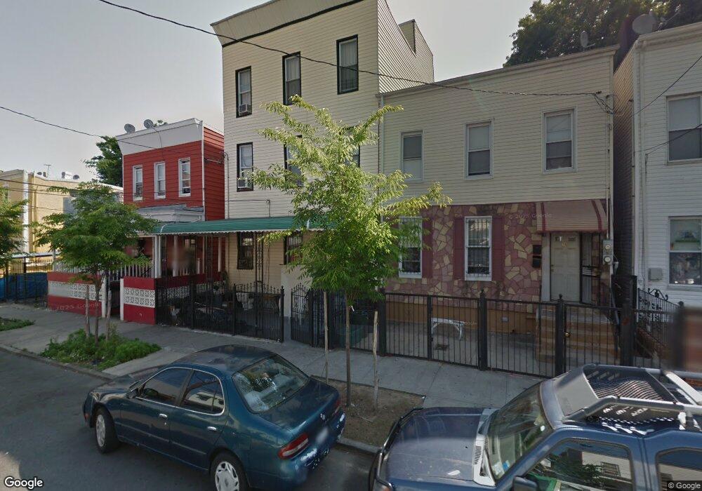
163 Ashford St Brooklyn, NY 11207
Cypress Hills NeighborhoodEstimated Value: $1,015,000 - $1,271,000
3
Beds
1
Bath
3,345
Sq Ft
$340/Sq Ft
Est. Value
About This Home
This home is located at 163 Ashford St, Brooklyn, NY 11207 and is currently estimated at $1,138,000, approximately $340 per square foot. 163 Ashford St is a home located in Kings County with nearby schools including P.S. 108 - Sal Abbracciamento, Liberty Avenue Middle School, and Vista Academy.
Ownership History
Date
Name
Owned For
Owner Type
Purchase Details
Closed on
Oct 20, 2021
Sold by
Surujballie Mantri D
Bought by
First Ashford Llc
Current Estimated Value
Purchase Details
Closed on
Mar 4, 2011
Sold by
Briglal Lenox
Bought by
Surujballie Mantri D
Purchase Details
Closed on
Aug 23, 2001
Sold by
Minfar Inc
Bought by
Briglal Lenox and Surajbali Randulary
Home Financials for this Owner
Home Financials are based on the most recent Mortgage that was taken out on this home.
Original Mortgage
$200,000
Interest Rate
6.89%
Purchase Details
Closed on
Sep 27, 2000
Sold by
The Brooklyn Housing Organization Inc
Bought by
Minfar Inc
Purchase Details
Closed on
Sep 21, 2000
Sold by
Hud
Bought by
Congregation Tzorchei Amecha Inc
Create a Home Valuation Report for This Property
The Home Valuation Report is an in-depth analysis detailing your home's value as well as a comparison with similar homes in the area
Home Values in the Area
Average Home Value in this Area
Purchase History
| Date | Buyer | Sale Price | Title Company |
|---|---|---|---|
| First Ashford Llc | -- | -- | |
| Surujballie Mantri D | -- | -- | |
| Briglal Lenox | -- | -- | |
| Minfar Inc | $135,000 | -- | |
| The Brooklyn Housing Organization Inc | $108,000 | -- | |
| Congregation Tzorchei Amecha Inc | $98,000 | Old Republic Natl Title Ins |
Source: Public Records
Mortgage History
| Date | Status | Borrower | Loan Amount |
|---|---|---|---|
| Previous Owner | Briglal Lenox | $200,000 |
Source: Public Records
Tax History
| Year | Tax Paid | Tax Assessment Tax Assessment Total Assessment is a certain percentage of the fair market value that is determined by local assessors to be the total taxable value of land and additions on the property. | Land | Improvement |
|---|---|---|---|---|
| 2025 | $8,399 | $49,560 | $12,900 | $36,660 |
| 2024 | $8,399 | $54,780 | $12,900 | $41,880 |
| 2023 | $8,032 | $53,760 | $12,900 | $40,860 |
| 2022 | $7,552 | $51,000 | $12,900 | $38,100 |
| 2021 | $7,511 | $55,920 | $12,900 | $43,020 |
| 2020 | $3,674 | $49,500 | $12,900 | $36,600 |
| 2019 | $7,290 | $43,560 | $12,900 | $30,660 |
| 2018 | $6,793 | $33,324 | $10,250 | $23,074 |
| 2017 | $6,427 | $31,526 | $10,691 | $20,835 |
| 2016 | $5,946 | $29,743 | $11,199 | $18,544 |
| 2015 | $3,587 | $29,263 | $10,899 | $18,364 |
| 2014 | $3,587 | $29,040 | $11,411 | $17,629 |
Source: Public Records
Map
Nearby Homes
- 165 Ashford St
- 159 Ashford St
- 167 Ashford St
- 157 Ashford St
- 171 Ashford St
- 155 Ashford St
- 173 Ashford St
- 252 Cleveland St
- 153 Ashford St
- 250 Cleveland St
- 250 Cleveland St Unit 1
- 254 Cleveland St
- 256 Cleveland St
- 248 Cleveland St
- 248 Cleveland St Unit 1
- 248 Cleveland St Unit 1
- 175 Ashford St
- 262 Cleveland St Unit 6
- 262 Cleveland St
- 177 Ashford St
Your Personal Tour Guide
Ask me questions while you tour the home.