163 Buck Run W Dahlonega, GA 30533
Estimated Value: $292,963 - $373,000
--
Bed
2
Baths
1,312
Sq Ft
$256/Sq Ft
Est. Value
About This Home
This home is located at 163 Buck Run W, Dahlonega, GA 30533 and is currently estimated at $336,491, approximately $256 per square foot. 163 Buck Run W is a home located in Lumpkin County with nearby schools including Clay County Middle School and Lumpkin County High School.
Ownership History
Date
Name
Owned For
Owner Type
Purchase Details
Closed on
Nov 8, 2007
Sold by
Not Provided
Bought by
Dallas Donald P and Dallas Patricia Gayle
Current Estimated Value
Purchase Details
Closed on
Oct 27, 1997
Sold by
Dallas Theresa
Bought by
Dallas Donald P
Purchase Details
Closed on
Oct 29, 1993
Sold by
Dallas Donald P
Bought by
Dallas Theresa
Purchase Details
Closed on
Mar 4, 1988
Sold by
Stevens Bryan L
Bought by
Dallas Donald P
Purchase Details
Closed on
Dec 1, 1987
Bought by
Stevens Bryan L
Create a Home Valuation Report for This Property
The Home Valuation Report is an in-depth analysis detailing your home's value as well as a comparison with similar homes in the area
Home Values in the Area
Average Home Value in this Area
Purchase History
| Date | Buyer | Sale Price | Title Company |
|---|---|---|---|
| Dallas Donald P | -- | -- | |
| Dallas Donald P | -- | -- | |
| Dallas Theresa | -- | -- | |
| Dallas Donald P | $8,900 | -- | |
| Stevens Bryan L | -- | -- |
Source: Public Records
Tax History Compared to Growth
Tax History
| Year | Tax Paid | Tax Assessment Tax Assessment Total Assessment is a certain percentage of the fair market value that is determined by local assessors to be the total taxable value of land and additions on the property. | Land | Improvement |
|---|---|---|---|---|
| 2024 | $36 | $100,041 | $32,000 | $68,041 |
| 2023 | $9 | $82,862 | $19,200 | $63,662 |
| 2022 | $83 | $76,232 | $19,200 | $57,032 |
| 2021 | $1,870 | $65,898 | $19,200 | $46,698 |
| 2020 | $1,836 | $64,715 | $19,200 | $45,515 |
| 2019 | $1,836 | $64,715 | $19,200 | $45,515 |
| 2018 | $1,671 | $58,906 | $19,200 | $39,706 |
| 2017 | $0 | $58,185 | $19,200 | $38,985 |
| 2016 | $1,536 | $54,818 | $19,200 | $35,618 |
| 2015 | -- | $54,818 | $19,200 | $35,618 |
| 2014 | -- | $55,781 | $19,200 | $36,581 |
| 2013 | -- | $55,916 | $19,200 | $36,716 |
Source: Public Records
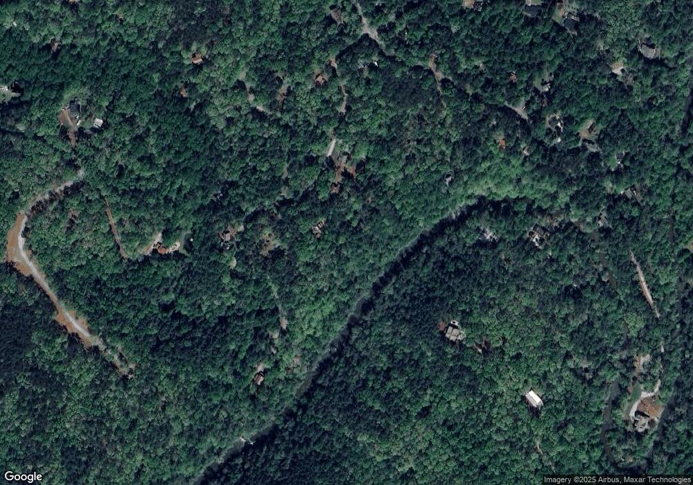
Map
Nearby Homes
- 194 Deerfield Dr
- 150 Buck Run E
- 221 Laurel Cir
- 486 Laurel Cir
- 0 Rainmore Dr Unit 7620063
- 0 Rainmore Dr Unit 10570615
- 33 T J Mote Rd
- 33 Tj Mote Rd
- 103 Rainmore Dr
- 0x Pink Williams Rd
- 0x Pink Williams Rd Unit 124AC
- 15 Baker St
- 190 Grand Oak Ln
- 50 Loyal Dr
- 1044 Rider Rd
- 191 Sleepy Hollow Rd
- 115 W Woods Dr
- 6418 Dawsonville Hwy
- 27 Bryn Ct
- 78 Etowah West Dr