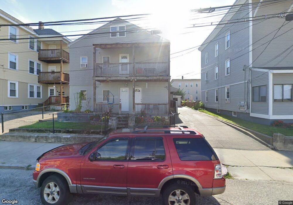
163 Burnside Ave Woonsocket, RI 02895
East Woonsocket NeighborhoodEstimated Value: $414,000 - $558,000
6
Beds
2
Baths
2,582
Sq Ft
$190/Sq Ft
Est. Value
About This Home
This home is located at 163 Burnside Ave, Woonsocket, RI 02895 and is currently estimated at $490,044, approximately $189 per square foot. 163 Burnside Ave is a home located in Providence County with nearby schools including Woonsocket High School, Rise Prep Mayoral Academy Middle School, and Rise Prep Mayoral Academy.
Ownership History
Date
Name
Owned For
Owner Type
Purchase Details
Closed on
Sep 9, 2019
Sold by
Raymond G Beaudoin Ret and Beaudoin
Bought by
Beaudoin Raymond G
Current Estimated Value
Purchase Details
Closed on
May 9, 2019
Sold by
Beaudoin Raymond R
Bought by
Raymond R Beaudoin Ret and Beaudoin
Purchase Details
Closed on
Jan 1, 1987
Bought by
Beaudoin Raymond R and Beaudoin Rose M
Create a Home Valuation Report for This Property
The Home Valuation Report is an in-depth analysis detailing your home's value as well as a comparison with similar homes in the area
Home Values in the Area
Average Home Value in this Area
Purchase History
| Date | Buyer | Sale Price | Title Company |
|---|---|---|---|
| Beaudoin Raymond G | -- | -- | |
| Beaudoin Raymond G | -- | -- | |
| Raymond R Beaudoin Ret | -- | -- | |
| Raymond R Beaudoin Ret | -- | -- | |
| Beaudoin Raymond R | -- | -- |
Source: Public Records
Tax History
| Year | Tax Paid | Tax Assessment Tax Assessment Total Assessment is a certain percentage of the fair market value that is determined by local assessors to be the total taxable value of land and additions on the property. | Land | Improvement |
|---|---|---|---|---|
| 2025 | $4,874 | $434,000 | $88,000 | $346,000 |
| 2024 | $4,430 | $304,700 | $89,600 | $215,100 |
| 2023 | $4,260 | $304,700 | $89,600 | $215,100 |
| 2022 | $4,260 | $304,700 | $89,600 | $215,100 |
| 2021 | $3,282 | $138,200 | $35,700 | $102,500 |
| 2020 | $3,317 | $138,200 | $35,700 | $102,500 |
| 2018 | $3,328 | $138,200 | $35,700 | $102,500 |
| 2017 | $4,006 | $133,100 | $40,000 | $93,100 |
| 2016 | $4,238 | $133,100 | $40,000 | $93,100 |
| 2015 | $4,869 | $133,100 | $40,000 | $93,100 |
| 2014 | $4,262 | $130,300 | $44,000 | $86,300 |
Source: Public Records
Map
Nearby Homes
- 40 Burnside Ave
- 685 Social St Unit 308
- 685 Social St Unit 313
- 263 Elm St
- 311 Elm St
- 538 Wood Ave
- 551 Wood Ave
- 56 Mailloux St
- 60 Rathbun St
- 90 Mill St Unit 202
- 92 Mill St Unit 303
- 568 Elm St
- 108 Mill St Unit 104
- 18 Villa Nova St
- 13 Ethel St
- 256 Privilege St
- 213 St Louis Ave
- 212 Saint Louis Ave
- 0 Diamond Hill Rd Unit 1406968
- 188 Saint Louis Ave
- 169 Burnside Ave Unit 1
- 169 Burnside Ave
- 153 Burnside Ave
- 170 Robinson St
- 145 Burnside Ave Unit 3R
- 145 Burnside Ave
- 183 Burnside Ave
- 320 Wood Ave
- 141 Burnside Ave
- 168 Robinson St
- 174 Robinson St
- 334 Wood Ave
- 334 Wood Ave Unit 1
- 193 Burnside Ave
- 174 Burnside Ave
- 152 Burnside Ave
- 328 Wood Ave
- 142 Burnside Ave
- 194 Burnside Ave
- 308 Wood Ave
Your Personal Tour Guide
Ask me questions while you tour the home.