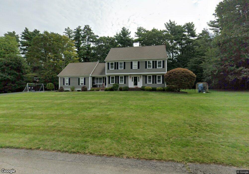
163 Captain Nathaniel Dr Hanson, MA 02341
Estimated Value: $820,000 - $1,305,000
3
Beds
3
Baths
2,409
Sq Ft
$397/Sq Ft
Est. Value
About This Home
This home is located at 163 Captain Nathaniel Dr, Hanson, MA 02341 and is currently estimated at $956,133, approximately $396 per square foot. 163 Captain Nathaniel Dr is a home located in Plymouth County.
Ownership History
Date
Name
Owned For
Owner Type
Purchase Details
Closed on
Aug 26, 2011
Sold by
Nathaniel 163 Captain and Farrell Thomas J
Bought by
Skinner Thomas D and Skinner Kerry A
Current Estimated Value
Home Financials for this Owner
Home Financials are based on the most recent Mortgage that was taken out on this home.
Original Mortgage
$421,170
Outstanding Balance
$274,139
Interest Rate
3.25%
Mortgage Type
FHA
Estimated Equity
$681,994
Purchase Details
Closed on
Nov 20, 2007
Sold by
Farrell Thomas J and Farrell Diana M
Bought by
Farrell Tr Thomas J and Farrell Diana M
Create a Home Valuation Report for This Property
The Home Valuation Report is an in-depth analysis detailing your home's value as well as a comparison with similar homes in the area
Home Values in the Area
Average Home Value in this Area
Purchase History
| Date | Buyer | Sale Price | Title Company |
|---|---|---|---|
| Skinner Thomas D | $442,500 | -- | |
| Farrell Tr Thomas J | -- | -- |
Source: Public Records
Mortgage History
| Date | Status | Borrower | Loan Amount |
|---|---|---|---|
| Open | Skinner Thomas D | $421,170 | |
| Previous Owner | Farrell Tr Thomas J | $280,000 |
Source: Public Records
Tax History
| Year | Tax Paid | Tax Assessment Tax Assessment Total Assessment is a certain percentage of the fair market value that is determined by local assessors to be the total taxable value of land and additions on the property. | Land | Improvement |
|---|---|---|---|---|
| 2025 | $10,002 | $747,500 | $192,000 | $555,500 |
| 2024 | $9,714 | $726,000 | $186,500 | $539,500 |
| 2023 | $9,306 | $656,300 | $186,500 | $469,800 |
| 2022 | $8,527 | $565,100 | $169,500 | $395,600 |
| 2021 | $7,663 | $507,500 | $163,000 | $344,500 |
| 2020 | $7,551 | $494,500 | $157,400 | $337,100 |
| 2019 | $7,450 | $479,700 | $169,100 | $310,600 |
| 2018 | $7,361 | $465,000 | $162,600 | $302,400 |
| 2017 | $7,081 | $443,100 | $154,900 | $288,200 |
| 2016 | $7,181 | $433,900 | $154,900 | $279,000 |
| 2015 | $6,790 | $426,500 | $154,900 | $271,600 |
Source: Public Records
Map
Nearby Homes
- 724 Whitman St
- Lot 5 Princeton Way
- 84 Liberty St
- 139 Fairwood Dr
- 26 Stonebridge Dr
- 22 Howland Trail Unit 34
- 17 Hayford Trail Unit 12
- 7 Hayford Trail Unit 12
- 5 Hayford Trail Unit 11
- 108 Waterford Dr
- 161 Winter St Unit 11
- 430 Brook Bend Rd
- 23 Live Oak Way
- 361 County Rd
- 361A County Rd
- Lot 6 Way
- 10 Proud Foot Way
- 10 Birch Bottom Cir
- 214 Winter St
- 61 Sawmill Ln Unit 61
- 117 Lexington St
- 191 Captain Nathaniel Dr
- 71 Captain Nathaniel Dr
- 140 Captain Nathaniel Dr
- 101 Lexington St
- 86 Captain Nathaniel Dr
- 186 Captain Nathaniel Dr
- 235 Captain Nathaniel Dr
- 53 Captain Nathaniel Dr
- 118 Lexington St
- 202 Captain Nathaniel Dr
- 64 Captain Nathaniel Dr
- 85 Lexington St
- 100 Lexington St
- 260 Captain Nathaniel Dr
- 40 Captain Nathaniel Dr
- 35 Captain Nathaniel Dr
- 247 Captain Nathaniel Dr
- 67 Lexington St
- 84 Lexington St
Your Personal Tour Guide
Ask me questions while you tour the home.