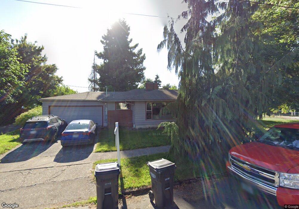
163 College St S Unit A Monmouth, OR 97361
Estimated Value: $322,000 - $381,000
3
Beds
1
Bath
1,338
Sq Ft
$267/Sq Ft
Est. Value
About This Home
This home is located at 163 College St S Unit A, Monmouth, OR 97361 and is currently estimated at $357,161, approximately $266 per square foot. 163 College St S Unit A is a home located in Polk County with nearby schools including Monmouth Elementary School, Talmadge Middle School, and Central High School.
Ownership History
Date
Name
Owned For
Owner Type
Purchase Details
Closed on
Jul 21, 2022
Sold by
Joan L Larson Revocable Trust
Bought by
Delaneybridge Llc
Current Estimated Value
Home Financials for this Owner
Home Financials are based on the most recent Mortgage that was taken out on this home.
Original Mortgage
$320,000
Outstanding Balance
$127,128
Interest Rate
5.23%
Mortgage Type
New Conventional
Estimated Equity
$230,033
Create a Home Valuation Report for This Property
The Home Valuation Report is an in-depth analysis detailing your home's value as well as a comparison with similar homes in the area
Home Values in the Area
Average Home Value in this Area
Purchase History
| Date | Buyer | Sale Price | Title Company |
|---|---|---|---|
| Delaneybridge Llc | $310,000 | Amerititle |
Source: Public Records
Mortgage History
| Date | Status | Borrower | Loan Amount |
|---|---|---|---|
| Open | Delaneybridge Llc | $320,000 |
Source: Public Records
Tax History Compared to Growth
Tax History
| Year | Tax Paid | Tax Assessment Tax Assessment Total Assessment is a certain percentage of the fair market value that is determined by local assessors to be the total taxable value of land and additions on the property. | Land | Improvement |
|---|---|---|---|---|
| 2025 | $2,593 | $157,290 | $41,400 | $115,890 |
| 2024 | $2,593 | $152,710 | $40,190 | $112,520 |
| 2023 | $2,701 | $148,270 | $39,020 | $109,250 |
| 2022 | $2,431 | $143,960 | $37,890 | $106,070 |
| 2021 | $2,403 | $139,770 | $36,780 | $102,990 |
| 2020 | $2,308 | $135,700 | $35,710 | $99,990 |
| 2019 | $2,241 | $131,750 | $34,670 | $97,080 |
| 2018 | $2,164 | $127,920 | $33,660 | $94,260 |
| 2017 | $2,152 | $124,200 | $32,680 | $91,520 |
| 2016 | $2,199 | $120,590 | $31,730 | $88,860 |
| 2015 | $2,090 | $117,080 | $30,800 | $86,280 |
| 2014 | $2,028 | $113,670 | $29,910 | $83,760 |
Source: Public Records
Map
Nearby Homes
- 297 Main St W
- 360 Main St W
- 412 Monmouth Ave S
- 460 Monmouth Ave S
- 271 Clay St E
- 348 Main St E
- 545 Warren St S Unit 12
- 545 Warren St S
- 545 Warren St S Unit 7
- 505 Broad St S
- 191 Catron St S
- 13310 Monmouth Hwy
- 580 Walnut Ct S
- 848 Monmouth Ave S
- 0 Catron St N
- 858 Main St E
- 0 S Pacific Hwy W Unit 1100+ 24617884
- 0 S Pacific Hwy W
- 751 Catron St N
- 555 High St N
- 261 Main St W
- 297 Main St W Unit 3
- 297 Main St W Unit 4
- 297 Main St St W
- 297 Main St
- 266 Clay St W
- 0 130-140-144-150 S Monmouth Ave (19 Units) Western Village Unit S) WESTERN VILLA
- 185 College St S
- 230 Clay St W
- 170 Monmouth Ave S
- 210 Clay St W
- 148 College St S
- 290 Main St W
- 164 College St S
- 190 College St S
- 302 Monmouth Ave N
- 245 Clay St W
- 107 Monmouth Ave S
- 183 Main St
- 183 Main St W