163 Deer Island Rd Swansboro, NC 28584
Estimated Value: $438,000 - $824,000
3
Beds
3
Baths
2,492
Sq Ft
$278/Sq Ft
Est. Value
About This Home
This home is located at 163 Deer Island Rd, Swansboro, NC 28584 and is currently estimated at $693,633, approximately $278 per square foot. 163 Deer Island Rd is a home located in Onslow County with nearby schools including Swansboro Elementary School, Swansboro Middle School, and Swansboro High School.
Ownership History
Date
Name
Owned For
Owner Type
Purchase Details
Closed on
Mar 12, 2019
Sold by
Mcneill And Associates Inc
Bought by
Lingle Ronald Keith and Lingle Cueryl Kay
Current Estimated Value
Purchase Details
Closed on
Sep 6, 2007
Sold by
Maness Marie
Bought by
Maness Stony F
Purchase Details
Closed on
Jul 20, 1992
Bought by
Lingle Ronald K and Lingle Cheryl K
Create a Home Valuation Report for This Property
The Home Valuation Report is an in-depth analysis detailing your home's value as well as a comparison with similar homes in the area
Home Values in the Area
Average Home Value in this Area
Purchase History
| Date | Buyer | Sale Price | Title Company |
|---|---|---|---|
| Lingle Ronald Keith | $233,500 | None Available | |
| Maness Stony F | $2,000 | None Available | |
| Lingle Ronald K | $64,000 | -- |
Source: Public Records
Tax History Compared to Growth
Tax History
| Year | Tax Paid | Tax Assessment Tax Assessment Total Assessment is a certain percentage of the fair market value that is determined by local assessors to be the total taxable value of land and additions on the property. | Land | Improvement |
|---|---|---|---|---|
| 2025 | $3,187 | $544,180 | $225,100 | $319,080 |
| 2024 | $3,187 | $531,610 | $225,100 | $306,510 |
| 2023 | $3,187 | $531,610 | $225,100 | $306,510 |
| 2022 | $3,482 | $531,610 | $225,100 | $306,510 |
| 2021 | $3,041 | $431,310 | $200,100 | $231,210 |
| 2020 | $3,041 | $431,310 | $200,100 | $231,210 |
| 2019 | $3,041 | $431,310 | $200,100 | $231,210 |
| 2018 | $3,041 | $431,310 | $200,100 | $231,210 |
| 2017 | $2,839 | $420,570 | $200,100 | $220,470 |
| 2016 | $2,798 | $414,510 | $0 | $0 |
| 2015 | $2,798 | $414,510 | $0 | $0 |
| 2014 | $2,798 | $414,510 | $0 | $0 |
Source: Public Records
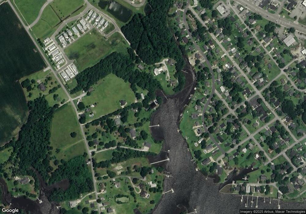
Map
Nearby Homes
- 499 Ward Rd
- Lot #6 Ward Rd
- 651 W Shore Dr
- 403 W Spring St
- 203 Villagers Way
- 209 Villagers Way
- 301 S Chestnut St
- 303 S Elm St
- 661 Main Street Extension
- 1136 &1132 Glancy Rd
- 502 Main Street Extension Unit 107
- 1128 Glancy Rd
- Lot 2 Point
- 104 Tundra Trail
- 120 Tundra Trail
- 1171 Mount Pleasant Rd
- 109 Creek End Ct
- 111 Creek End Ct
- 1 Portwest Townhouses Dr Unit D
- 0 Ned Ln
- 161 Deer Island Rd
- 500 Ward Rd
- 157 Deer Island Rd
- 175 Deer Island Rd
- 498 Ward Rd
- 165 Deer Island Rd
- 605 Ward Rd
- 607 W Shore Dr
- 605 W Shore Dr
- 609 W Shore Dr
- 609 Shore Dr
- 603 W Shore Dr
- 613 W Shore Dr
- 601 W Shore Dr
- 619 W Shore Dr
- 509 W Shore Dr
- 608 W Shore Dr
- 621 W Shore Dr
- 408 S Fifth St
- 627 W Shore Dr