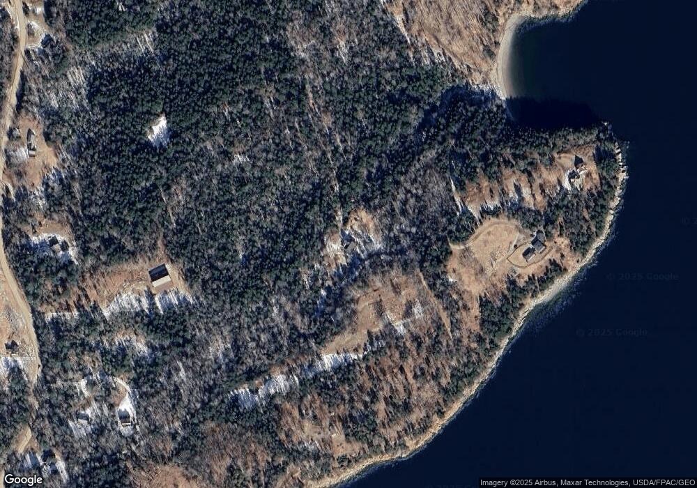
163 E Shore Dr Islesboro, ME 04848
Estimated Value: $428,000 - $642,000
3
Beds
2
Baths
2,118
Sq Ft
$232/Sq Ft
Est. Value
About This Home
This home is located at 163 E Shore Dr, Islesboro, ME 04848 and is currently estimated at $490,628, approximately $231 per square foot. 163 E Shore Dr is a home located in Waldo County with nearby schools including Islesboro Central School.
Ownership History
Date
Name
Owned For
Owner Type
Purchase Details
Closed on
Apr 5, 2024
Sold by
Nelson Nakomis N
Bought by
Tyler Tamsyn and Chamberlain Nathan
Current Estimated Value
Home Financials for this Owner
Home Financials are based on the most recent Mortgage that was taken out on this home.
Original Mortgage
$302,000
Outstanding Balance
$297,505
Interest Rate
6.9%
Mortgage Type
Purchase Money Mortgage
Estimated Equity
$193,123
Purchase Details
Closed on
Aug 29, 2012
Sold by
Nelson Kathryn J
Bought by
Nelson Nakomis N
Purchase Details
Closed on
Oct 29, 2007
Sold by
Nelson Nakomis N
Bought by
Nelson Kathryn J and Nelson Nakomis N
Home Financials for this Owner
Home Financials are based on the most recent Mortgage that was taken out on this home.
Original Mortgage
$225,000
Interest Rate
6.39%
Mortgage Type
Commercial
Create a Home Valuation Report for This Property
The Home Valuation Report is an in-depth analysis detailing your home's value as well as a comparison with similar homes in the area
Home Values in the Area
Average Home Value in this Area
Purchase History
| Date | Buyer | Sale Price | Title Company |
|---|---|---|---|
| Tyler Tamsyn | $385,000 | None Available | |
| Nelson Nakomis N | -- | -- | |
| Nelson Kathryn J | -- | -- |
Source: Public Records
Mortgage History
| Date | Status | Borrower | Loan Amount |
|---|---|---|---|
| Open | Tyler Tamsyn | $302,000 | |
| Previous Owner | Nelson Kathryn J | $225,000 |
Source: Public Records
Tax History Compared to Growth
Tax History
| Year | Tax Paid | Tax Assessment Tax Assessment Total Assessment is a certain percentage of the fair market value that is determined by local assessors to be the total taxable value of land and additions on the property. | Land | Improvement |
|---|---|---|---|---|
| 2024 | $4,775 | $401,300 | $88,000 | $313,300 |
| 2023 | $4,414 | $401,300 | $88,000 | $313,300 |
| 2022 | $4,880 | $271,100 | $50,700 | $220,400 |
| 2021 | $4,785 | $271,100 | $50,700 | $220,400 |
| 2020 | $4,609 | $271,100 | $50,700 | $220,400 |
| 2019 | $4,514 | $271,100 | $50,700 | $220,400 |
| 2018 | $4,432 | $271,100 | $50,700 | $220,400 |
| 2017 | $4,007 | $253,600 | $44,200 | $209,400 |
| 2016 | $3,992 | $253,600 | $44,200 | $209,400 |
| 2015 | $3,794 | $253,600 | $44,200 | $209,400 |
| 2014 | $3,583 | $295,400 | $51,500 | $243,900 |
| 2012 | $3,471 | $295,400 | $51,500 | $243,900 |
Source: Public Records
Map
Nearby Homes
- 118 E East Shore Dr
- M15L20-TBD Golf Club Rd
- 197 E Shore Dr
- 371 Pendleton Point Rd
- Lot 23 Map 39 Babbidge Rd
- 292 & 300 Main Rd
- 108 Colony Rd
- 292 Main Rd
- 115 Babbidge Rd
- 135 Rebel Hill Rd
- 522 Ferry Rd
- 364 & 367 Main Rd
- 108 Derby Rd
- 228 Gooseberry Point Rd
- 391 Main Rd
- 376 W Bay Rd
- 300 Main Rd
- 399 Hermit's Point Rd
- Map 22 Big Tree Ln
- 2Q Hermit's Point Rd
- 0 E East Shore Dr Unit 1459934
- 176 E Shore Dr
- 215 E Shore Dr
- 49&50A E Shore Dr
- M15L44 E Shore Dr
- M13L40B E Shore Dr
- 1 E Shore Dr
- 15/35E E Shore Dr
- 35DE E Shore Dr
- 15/35D E Shore Dr
- 176 Pendleton Point Rd
- 208 Pendleton Point Rd
- 210 Pendleton Point Rd
- 166A Pendleton Point Rd
- 166 Pendleton Point Rd
- 205 Pendleton Point Rd
- 118 E Shore Dr
- 220 Pendleton Point Rd
- 104 Boardman Rd
- 226 Hatch Ln
