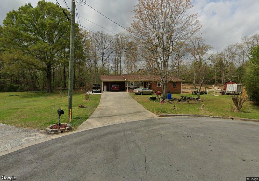
163 Fern Way SW Calhoun, GA 30701
Estimated Value: $254,000 - $281,000
3
Beds
2
Baths
1,471
Sq Ft
$180/Sq Ft
Est. Value
About This Home
This home is located at 163 Fern Way SW, Calhoun, GA 30701 and is currently estimated at $265,079, approximately $180 per square foot. 163 Fern Way SW is a home located in Gordon County with nearby schools including Swain Elementary School, Ashworth Middle School, and Gordon Central High School.
Ownership History
Date
Name
Owned For
Owner Type
Purchase Details
Closed on
Oct 28, 2011
Sold by
Lyle Jack M
Bought by
Reyes Arias Carlos Roberto
Current Estimated Value
Home Financials for this Owner
Home Financials are based on the most recent Mortgage that was taken out on this home.
Original Mortgage
$86,122
Outstanding Balance
$58,925
Interest Rate
4.09%
Mortgage Type
New Conventional
Estimated Equity
$206,154
Create a Home Valuation Report for This Property
The Home Valuation Report is an in-depth analysis detailing your home's value as well as a comparison with similar homes in the area
Home Values in the Area
Average Home Value in this Area
Purchase History
| Date | Buyer | Sale Price | Title Company |
|---|---|---|---|
| Reyes Arias Carlos Roberto | $84,400 | -- |
Source: Public Records
Mortgage History
| Date | Status | Borrower | Loan Amount |
|---|---|---|---|
| Open | Reyes Arias Carlos Roberto | $86,122 |
Source: Public Records
Tax History Compared to Growth
Tax History
| Year | Tax Paid | Tax Assessment Tax Assessment Total Assessment is a certain percentage of the fair market value that is determined by local assessors to be the total taxable value of land and additions on the property. | Land | Improvement |
|---|---|---|---|---|
| 2024 | $2,260 | $80,400 | $5,200 | $75,200 |
| 2023 | $1,445 | $51,396 | $5,200 | $46,196 |
| 2022 | $461 | $48,404 | $5,200 | $43,204 |
| 2021 | $1,232 | $41,388 | $5,200 | $36,188 |
| 2020 | $1,258 | $41,924 | $5,200 | $36,724 |
| 2019 | $1,256 | $41,924 | $5,200 | $36,724 |
| 2018 | $359 | $37,320 | $5,040 | $32,280 |
| 2017 | $347 | $35,320 | $5,040 | $30,280 |
| 2016 | $348 | $35,320 | $5,040 | $30,280 |
| 2015 | $346 | $34,680 | $5,040 | $29,640 |
| 2014 | $329 | $33,390 | $5,040 | $28,350 |
Source: Public Records
Map
Nearby Homes
- 0 Highway 53 Spur SW Unit 7529096
- 261 Liberty Ln SW
- 121 Foxhall Dr SW
- 0 Reeves Station Rd SW Unit 10548197
- 0 Reeves Station Rd SW Unit 7601645
- 490 McDaniel Station Rd SW
- 506 McDaniel Station Rd SW
- 458 McDaniel Station Rd SW
- 474 McDaniel Station Rd SW
- 00 Belmont Dr
- 130 Brookstone Dr SW
- 137 Regency Row SW
- 1943 Rome Rd SW
- 413 Beamer Rd SW
- 176 Village Way SW
- 1401 U S 41
- 1311 Us Highway 41
- The Braselton II Plan at Fair Oak
- The Reynolds Plan at Fair Oak
- The Buford II Plan at Fair Oak
- 159 Fern Way SW
- 167 Fern Way SW
- 147 Fern Way SW
- 438 Flora Dr SW
- 426 Flora Dr SW
- 141 Fern Way SW Unit 143B
- 141 Fern Way SW
- 414 Flora Dr SW
- 0 Flora Dr SW Unit 7031773
- 0 Flora Dr SW Unit 7561096
- 445 Spring Valley Dr SW
- 439 Spring Valley Dr SW Unit 40
- 439 Spring Valley Dr SW
- 402 Flora Dr SW
- 449 Flora Dr SW
- 437 Flora Dr SW
- 427 Flora Dr SW
- 417 Spring Valley Dr SW
- 415 Flora Dr SW
- 127 Laurel Place SW