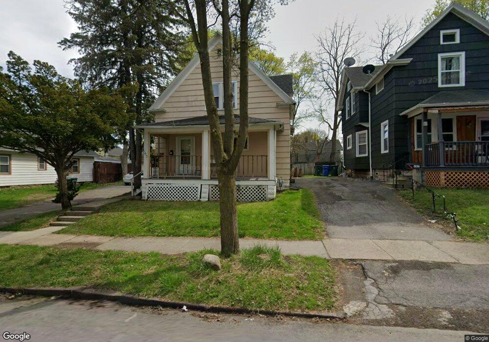
163 Furlong St Rochester, NY 14621
Northeast Rochester NeighborhoodEstimated Value: $92,000 - $155,000
5
Beds
2
Baths
1,716
Sq Ft
$73/Sq Ft
Est. Value
About This Home
This home is located at 163 Furlong St, Rochester, NY 14621 and is currently estimated at $124,523, approximately $72 per square foot. 163 Furlong St is a home located in Monroe County with nearby schools including School 39-Andrew J. Townson, Mary McLeod Bethune School No. 45, and School 25 Nathaniel Hawthorne.
Ownership History
Date
Name
Owned For
Owner Type
Purchase Details
Closed on
May 20, 2024
Sold by
Wall Tony L
Bought by
Nmja Management Llc
Current Estimated Value
Purchase Details
Closed on
Oct 5, 2012
Sold by
Slade Samuel J
Bought by
Wall Tony L
Purchase Details
Closed on
Aug 26, 2009
Sold by
Midfirst Bank
Bought by
Secretary Of Housing & Urban Development
Purchase Details
Closed on
Jul 24, 2009
Sold by
Ramirez Felix R and Ramirez Carolyn
Bought by
Midfirst Bank
Create a Home Valuation Report for This Property
The Home Valuation Report is an in-depth analysis detailing your home's value as well as a comparison with similar homes in the area
Home Values in the Area
Average Home Value in this Area
Purchase History
| Date | Buyer | Sale Price | Title Company |
|---|---|---|---|
| Nmja Management Llc | $62,500 | First American Title | |
| Wall Tony L | -- | None Available | |
| Secretary Of Housing & Urban Development | -- | None Available | |
| Midfirst Bank | $48,494 | None Available |
Source: Public Records
Mortgage History
| Date | Status | Borrower | Loan Amount |
|---|---|---|---|
| Closed | Nmja Management Llc | $0 |
Source: Public Records
Tax History Compared to Growth
Tax History
| Year | Tax Paid | Tax Assessment Tax Assessment Total Assessment is a certain percentage of the fair market value that is determined by local assessors to be the total taxable value of land and additions on the property. | Land | Improvement |
|---|---|---|---|---|
| 2024 | $1,557 | $80,100 | $7,400 | $72,700 |
| 2023 | $728 | $45,000 | $3,700 | $41,300 |
| 2022 | $588 | $45,000 | $3,700 | $41,300 |
| 2021 | $631 | $45,000 | $3,700 | $41,300 |
| 2020 | $744 | $45,000 | $3,700 | $41,300 |
| 2019 | $7,221 | $35,000 | $3,700 | $31,300 |
| 2018 | $0 | $35,000 | $3,700 | $31,300 |
| 2017 | $0 | $35,000 | $3,700 | $31,300 |
| 2016 | $645 | $35,000 | $3,700 | $31,300 |
| 2015 | $1,529 | $30,000 | $3,700 | $26,300 |
| 2014 | $1,529 | $30,000 | $3,700 | $26,300 |
Source: Public Records
Map
Nearby Homes
- 146 Delamaine Dr
- 152 Delamaine Dr
- 187-189 Delamaine Dr
- 120 Barberry Terrace
- 63 Dickinson St
- 318-320 Durnan St
- 1001-1005 Portland Ave
- 212 Saint Stanislaus St
- 46 Oneida St
- 256 Durnan St
- 46 Baird St
- 50 Manchester St
- 24 Jackson St
- 35-37 Jackson St
- 81 Cynthia Ln
- 51 Sylvester St
- 212 Lux St
- 226 Lux St
- 83 Holbrooke St
- 1482 Norton St