Estimated Value: $113,000 - $132,000
2
Beds
1
Bath
1,154
Sq Ft
$105/Sq Ft
Est. Value
About This Home
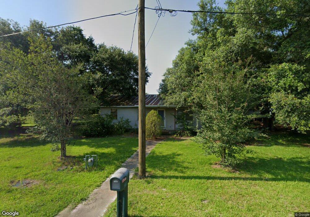
This home is located at 163 Mabel St, Welsh, LA 70591 and is currently estimated at $121,270, approximately $105 per square foot. 163 Mabel St is a home located in Jefferson Davis Parish with nearby schools including Welsh Elementary School, Welsh-Roanoke Junior High School, and Welsh High School.
Ownership History
Date
Name
Owned For
Owner Type
Purchase Details
Closed on
May 4, 2007
Sold by
Hebert Jean Dale and Hebert Darlene Faye
Bought by
Berg Erin Joann
Current Estimated Value
Home Financials for this Owner
Home Financials are based on the most recent Mortgage that was taken out on this home.
Original Mortgage
$61,000
Outstanding Balance
$37,084
Interest Rate
6.16%
Mortgage Type
New Conventional
Estimated Equity
$84,186
Create a Home Valuation Report for This Property
The Home Valuation Report is an in-depth analysis detailing your home's value as well as a comparison with similar homes in the area
Home Values in the Area
Average Home Value in this Area
Purchase History
| Date | Buyer | Sale Price | Title Company |
|---|---|---|---|
| Berg Erin Joann | $61,000 | Elite Title Insurance Agency |
Source: Public Records
Mortgage History
| Date | Status | Borrower | Loan Amount |
|---|---|---|---|
| Open | Berg Erin Joann | $61,000 |
Source: Public Records
Tax History
| Year | Tax Paid | Tax Assessment Tax Assessment Total Assessment is a certain percentage of the fair market value that is determined by local assessors to be the total taxable value of land and additions on the property. | Land | Improvement |
|---|---|---|---|---|
| 2023 | $643 | $8,600 | $1,400 | $7,200 |
| 2022 | $719 | $8,600 | $1,400 | $7,200 |
| 2021 | $643 | $8,600 | $1,400 | $7,200 |
| 2020 | $642 | $8,600 | $1,400 | $7,200 |
| 2019 | $640 | $8,400 | $1,200 | $7,200 |
| 2018 | $733 | $8,400 | $1,200 | $7,200 |
| 2017 | $734 | $8,400 | $1,200 | $7,200 |
| 2015 | $670 | $7,700 | $1,200 | $6,500 |
| 2014 | $671 | $7,700 | $1,200 | $6,500 |
| 2013 | $686 | $7,700 | $1,200 | $6,500 |
Source: Public Records
Map
Nearby Homes
- 311 Bourgeois St
- 617 Beaufort St
- 560 Bowers St
- 507 Beaufort St
- 17188 Highway 90 Unit Suite B
- 17180 Highway 90
- 0 Highway 90
- 207 Powers St
- 0 S Simmons St Unit SWL25002203
- 0 S Simmons St Unit SWL25002209
- 0 S Simmons St Unit SWL25002206
- 0 S Simmons St Unit SWL25002205
- 0 S Simmons St Unit SWL25002208
- 0 S Simmons St Unit SWL25002217
- 0 S Simmons St Unit SWL25002207
- 0 Grove St Unit SWL25002212
- 0 Grove St Unit SWL25002213
- 0 Grove St Unit SWL25002211
- 0 Grove St Unit SWL25002210
- 412 Derouen St
Your Personal Tour Guide
Ask me questions while you tour the home.