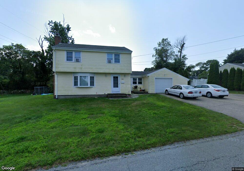
163 Merritt Ave Tiverton, RI 02878
North Tiverton NeighborhoodEstimated Value: $463,888 - $545,000
3
Beds
2
Baths
1,590
Sq Ft
$308/Sq Ft
Est. Value
About This Home
This home is located at 163 Merritt Ave, Tiverton, RI 02878 and is currently estimated at $489,722, approximately $308 per square foot. 163 Merritt Ave is a home located in Newport County with nearby schools including Tiverton High School, Argosy Collegiate Charter School, and Holy Trinity School.
Ownership History
Date
Name
Owned For
Owner Type
Purchase Details
Closed on
Oct 14, 1994
Sold by
Miller James H and Miller Kathleen
Bought by
Sanford Jeffrey S
Current Estimated Value
Create a Home Valuation Report for This Property
The Home Valuation Report is an in-depth analysis detailing your home's value as well as a comparison with similar homes in the area
Home Values in the Area
Average Home Value in this Area
Purchase History
| Date | Buyer | Sale Price | Title Company |
|---|---|---|---|
| Sanford Jeffrey S | $140,000 | -- |
Source: Public Records
Mortgage History
| Date | Status | Borrower | Loan Amount |
|---|---|---|---|
| Closed | Sanford Jeffrey S | $20,000 | |
| Open | Sanford Jeffrey S | $170,000 | |
| Closed | Sanford Jeffrey S | $155,000 | |
| Closed | Sanford Jeffrey S | $134,100 |
Source: Public Records
Tax History Compared to Growth
Tax History
| Year | Tax Paid | Tax Assessment Tax Assessment Total Assessment is a certain percentage of the fair market value that is determined by local assessors to be the total taxable value of land and additions on the property. | Land | Improvement |
|---|---|---|---|---|
| 2025 | $3,921 | $354,800 | $120,500 | $234,300 |
| 2024 | $3,921 | $354,800 | $120,500 | $234,300 |
| 2023 | $3,802 | $255,200 | $107,100 | $148,100 |
| 2022 | $3,734 | $255,200 | $107,100 | $148,100 |
| 2021 | $3,642 | $255,200 | $107,100 | $148,100 |
| 2020 | $4,007 | $247,500 | $81,300 | $166,200 |
| 2019 | $3,908 | $247,500 | $81,300 | $166,200 |
| 2018 | $4,057 | $247,500 | $81,300 | $166,200 |
| 2017 | $4,147 | $217,700 | $78,600 | $139,100 |
| 2016 | $4,167 | $217,700 | $78,600 | $139,100 |
| 2015 | $4,167 | $217,700 | $78,600 | $139,100 |
| 2014 | $4,177 | $216,400 | $75,600 | $140,800 |
Source: Public Records
Map
Nearby Homes
- 145 Durfee Rd
- 139 Durfee Rd
- 21 Cypress Ave
- 0 Kaufman Rd Unit 1384670
- 0 Kaufman Rd Unit 73333701
- 60 Beth Rd
- 12 Horizon Dr
- 109 Kaufman Rd
- 238 Judson St
- 14 Church St
- 100 Robert Gray Ave
- 130 Massey Rd
- 17 Lynwood St
- 730 Main Rd
- 741 Main Rd
- 79 Bellview Ave
- 42 Main Rd
- 8 Bronson St
- 12 Bronson St
- 16 Bronson St
- 20 Elaine Dr
- 158 Merritt Ave
- 168 Merritt Ave
- 153 Merritt Ave
- 193 Merritt Ave
- 148 Merritt Ave
- 12 Elaine Dr
- 213 Russell Dr
- 203 Russell Dr
- 41 Richard Dr
- 219 Russell Dr
- 138 Merritt Ave
- 143 Merritt Ave
- 4 Elaine Dr
- 193 Russell Dr
- 188 Briarwood Ave
- 183 Russell Dr
- 133 Merritt Ave
- 203 Merritt Ave
- 182 Briarwood Ave