163 Middle Ridge Dr Statesville, NC 28677
Estimated Value: $399,000 - $503,500
3
Beds
1
Bath
3,506
Sq Ft
$129/Sq Ft
Est. Value
About This Home
This home is located at 163 Middle Ridge Dr, Statesville, NC 28677 and is currently estimated at $452,625, approximately $129 per square foot. 163 Middle Ridge Dr is a home located in Iredell County with nearby schools including Troutman Elementary School, Troutman Middle School, and South Iredell High School.
Ownership History
Date
Name
Owned For
Owner Type
Purchase Details
Closed on
Dec 29, 2016
Sold by
Mccurdy James Rodney and Mccurdy Teresa H
Bought by
Crouch Daryl and Crouch Anna
Current Estimated Value
Home Financials for this Owner
Home Financials are based on the most recent Mortgage that was taken out on this home.
Original Mortgage
$160,000
Outstanding Balance
$105,663
Interest Rate
3.94%
Mortgage Type
New Conventional
Estimated Equity
$346,962
Purchase Details
Closed on
Oct 22, 2002
Sold by
Powell Peggy Owen and Troutman Pearl Holland
Bought by
Mccurdy James Rodney and Mccurdy Teresa H
Purchase Details
Closed on
Jun 1, 1901
Create a Home Valuation Report for This Property
The Home Valuation Report is an in-depth analysis detailing your home's value as well as a comparison with similar homes in the area
Home Values in the Area
Average Home Value in this Area
Purchase History
| Date | Buyer | Sale Price | Title Company |
|---|---|---|---|
| Crouch Daryl | $200,000 | None Available | |
| Mccurdy James Rodney | $80,000 | -- | |
| -- | -- | -- |
Source: Public Records
Mortgage History
| Date | Status | Borrower | Loan Amount |
|---|---|---|---|
| Open | Crouch Daryl | $160,000 |
Source: Public Records
Tax History Compared to Growth
Tax History
| Year | Tax Paid | Tax Assessment Tax Assessment Total Assessment is a certain percentage of the fair market value that is determined by local assessors to be the total taxable value of land and additions on the property. | Land | Improvement |
|---|---|---|---|---|
| 2024 | $1,701 | $273,520 | $128,450 | $145,070 |
| 2023 | $1,701 | $273,520 | $128,450 | $145,070 |
| 2022 | $1,086 | $161,010 | $55,550 | $105,460 |
| 2021 | $1,066 | $161,010 | $55,550 | $105,460 |
| 2020 | $1,066 | $161,010 | $55,550 | $105,460 |
| 2019 | $1,026 | $161,010 | $55,550 | $105,460 |
| 2018 | $1,012 | $160,700 | $55,550 | $105,150 |
| 2017 | $1,012 | $160,700 | $55,550 | $105,150 |
| 2016 | $1,012 | $160,700 | $55,550 | $105,150 |
| 2015 | $1,012 | $160,700 | $55,550 | $105,150 |
| 2014 | $1,029 | $177,680 | $55,550 | $122,130 |
Source: Public Records
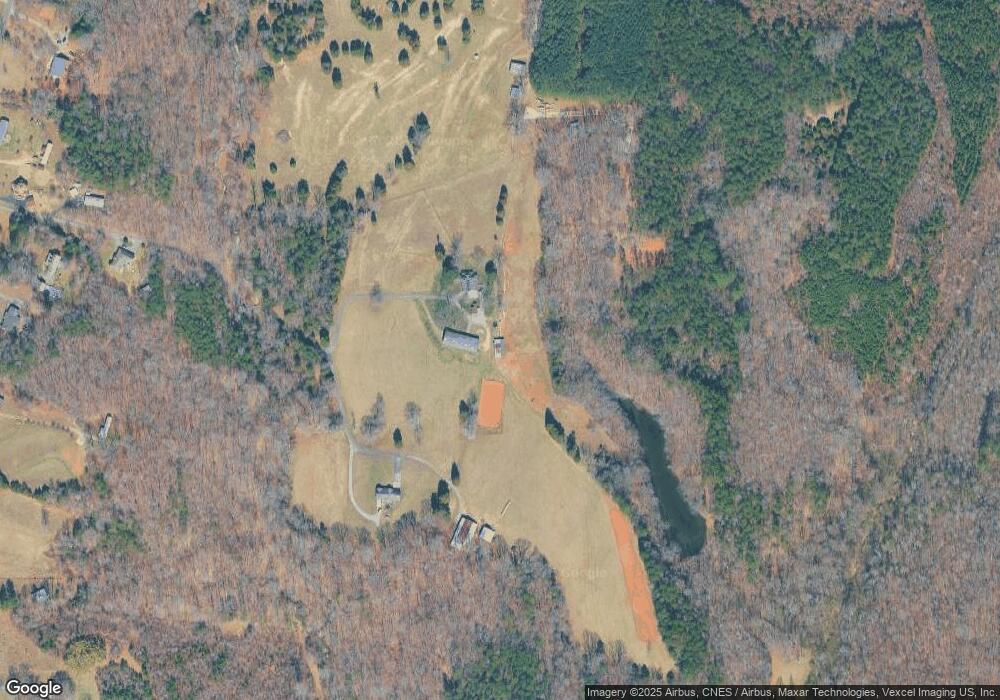
Map
Nearby Homes
- 600 E Monbo Rd
- 124 N Sina St
- 173 Wembury Ln
- 139 Jacobs Hill Place
- 111 Monbo Meadows Ln
- 129 Jacobs Hill Place
- 125 Jacobs Hill Place
- 144 Jacobs Hill Place
- 134 Jacobs Hill Place
- 142 Jacobs Hill Place
- 111 Sandypark Ct
- 113 Sandypark Ct
- 114 Sandypark Ct
- 116 Kennford Trail
- 112 Sandypark Ct
- 104 Sandypark Ct
- 101 Rills Crossing Way
- 105 Rills Crossing Way
- 109 Rills Crossing Way
- 112 Dartmoor Park Ln
- 167 Four Leaf Ln
- 449 Troutman Farm Rd
- 160 Four Leaf Ln
- 133 Messick Farm Dr
- 0 Troutman Shoals Rd
- 00 Troutman Farm Rd
- 453 Troutman Farm Rd
- 461 Troutman Farm Rd
- 417 Troutman Farm Rd
- 433 Troutman Farm Rd
- 117 Messick Farm Dr
- 409 Troutman Farm Rd
- 451 Troutman Farm Rd
- 473 Troutman Farm Rd
- 391 Troutman Farm Rd
- 420 Troutman Farm Rd
- 107 David Dr
- 107 Tangle Ln
- 470 Troutman Farm Rd
- 436 Troutman Farm Rd