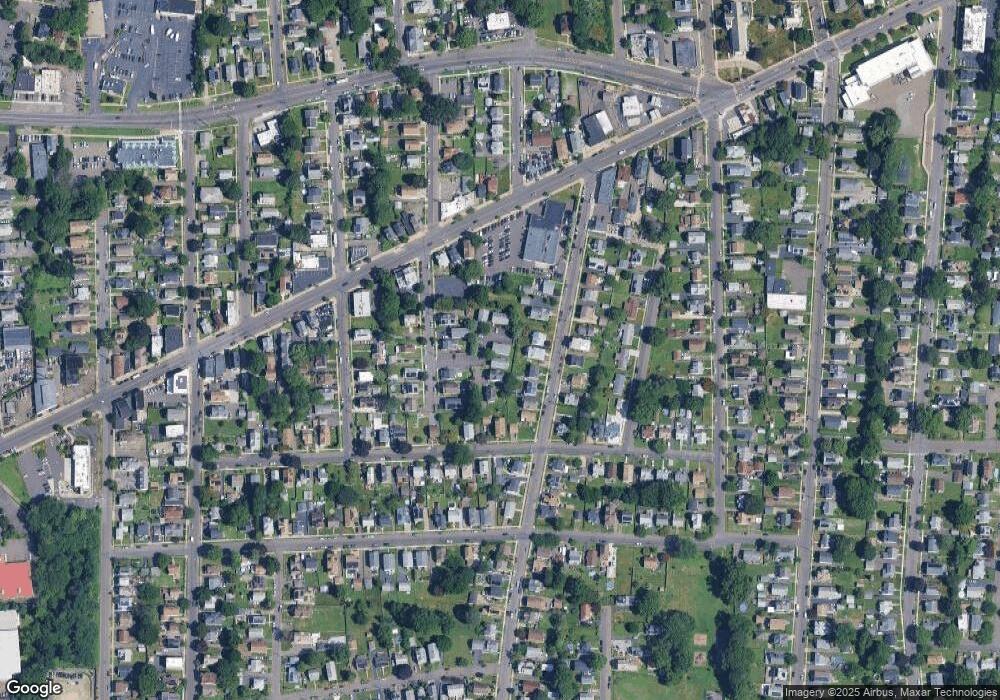
163 Otis St Unit F Stratford, CT 06615
Stratford Center Historic District NeighborhoodEstimated Value: $341,000 - $411,000
3
Beds
2
Baths
1,300
Sq Ft
$288/Sq Ft
Est. Value
About This Home
This home is located at 163 Otis St Unit F, Stratford, CT 06615 and is currently estimated at $374,060, approximately $287 per square foot. 163 Otis St Unit F is a home located in Fairfield County with nearby schools including Franklin School, Harry B. Flood Middle School, and Bunnell High School.
Ownership History
Date
Name
Owned For
Owner Type
Purchase Details
Closed on
Oct 4, 2010
Sold by
Singh Japinder
Bought by
Valentino Merc
Current Estimated Value
Purchase Details
Closed on
Apr 15, 2010
Sold by
Fnma
Bought by
Singh Vapinder
Purchase Details
Closed on
Jan 28, 2010
Sold by
Chase Home Finance Llc
Bought by
Federal National Mortgage Association
Purchase Details
Closed on
Aug 7, 2009
Sold by
Scott Deric
Bought by
Chase Home Finance
Create a Home Valuation Report for This Property
The Home Valuation Report is an in-depth analysis detailing your home's value as well as a comparison with similar homes in the area
Home Values in the Area
Average Home Value in this Area
Purchase History
| Date | Buyer | Sale Price | Title Company |
|---|---|---|---|
| Valentino Merc | $162,500 | -- | |
| Singh Vapinder | $124,000 | -- | |
| Federal National Mortgage Association | -- | -- | |
| Chase Home Finance | -- | -- |
Source: Public Records
Mortgage History
| Date | Status | Borrower | Loan Amount |
|---|---|---|---|
| Previous Owner | Chase Home Finance | $215,000 |
Source: Public Records
Tax History Compared to Growth
Tax History
| Year | Tax Paid | Tax Assessment Tax Assessment Total Assessment is a certain percentage of the fair market value that is determined by local assessors to be the total taxable value of land and additions on the property. | Land | Improvement |
|---|---|---|---|---|
| 2025 | $4,274 | $106,330 | $0 | $106,330 |
| 2024 | $4,274 | $106,330 | $0 | $106,330 |
| 2023 | $4,274 | $106,330 | $0 | $106,330 |
| 2022 | $4,196 | $106,330 | $0 | $106,330 |
| 2021 | $4,197 | $106,330 | $0 | $106,330 |
| 2020 | $4,215 | $106,330 | $0 | $106,330 |
| 2019 | $4,281 | $107,380 | $0 | $107,380 |
| 2018 | $4,284 | $107,380 | $0 | $107,380 |
| 2017 | $4,292 | $107,380 | $0 | $107,380 |
| 2016 | $4,187 | $107,380 | $0 | $107,380 |
| 2015 | $3,971 | $107,380 | $0 | $107,380 |
| 2014 | $4,287 | $120,330 | $0 | $120,330 |
Source: Public Records
Map
Nearby Homes
- 415 Bruce Ave
- 102 Bowe Ave
- 32 Franklin Ave
- 528 Soundview Ave
- 265 Bruce Ave
- 345 Burritt Ave
- 141 Franklin Ave
- 154 Soundview Ave
- 160 Oakland Place
- 239 Hollister St
- 1840 Barnum Ave
- 69 Weber Ave
- 1804 Barnum Ave
- 216 Clover St
- 270 East Ave
- 394 Bishop Ave Unit 396
- 445 Canaan Rd
- 88 Knowlton St
- 116 N Bishop Ave
- 250 Rockwell Ave
- 163 Otis St Unit H
- 163 Otis St Unit G
- 163 Otis St Unit E
- 163 Otis St Unit D
- 163 Otis St Unit C
- 163 Otis St Unit B
- 163 Otis St Unit A
- 163 Otis St Unit 163D
- 163 Otis St
- 135 Otis St
- 145 Otis St
- 159 Otis St
- 165 Otis St
- 147 Otis St
- 409 Thompson St
- 117 Otis St
- 391 Thompson St
- 433 Thompson St
- 433 Thompson St Unit 1
- 433 Thompson St Unit 2
