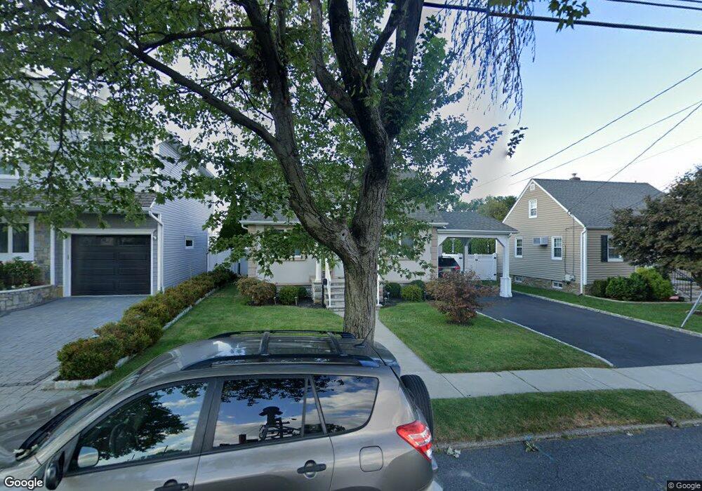
163 Platt Ave Saddle Brook, NJ 07663
Estimated Value: $544,691 - $620,000
--
Bed
--
Bath
1,360
Sq Ft
$435/Sq Ft
Est. Value
About This Home
This home is located at 163 Platt Ave, Saddle Brook, NJ 07663 and is currently estimated at $591,173, approximately $434 per square foot. 163 Platt Ave is a home located in Bergen County with nearby schools including Saddle Brook Mid High School and St. Leo Elementary School.
Ownership History
Date
Name
Owned For
Owner Type
Purchase Details
Closed on
Jun 30, 2011
Sold by
Guthrie Linda
Bought by
Pieciak Witold and Pieciak Aneta
Current Estimated Value
Home Financials for this Owner
Home Financials are based on the most recent Mortgage that was taken out on this home.
Original Mortgage
$208,000
Outstanding Balance
$143,570
Interest Rate
4.58%
Mortgage Type
Purchase Money Mortgage
Estimated Equity
$447,603
Create a Home Valuation Report for This Property
The Home Valuation Report is an in-depth analysis detailing your home's value as well as a comparison with similar homes in the area
Home Values in the Area
Average Home Value in this Area
Purchase History
| Date | Buyer | Sale Price | Title Company |
|---|---|---|---|
| Pieciak Witold | $260,000 | -- |
Source: Public Records
Mortgage History
| Date | Status | Borrower | Loan Amount |
|---|---|---|---|
| Open | Pieciak Witold | $208,000 |
Source: Public Records
Tax History Compared to Growth
Tax History
| Year | Tax Paid | Tax Assessment Tax Assessment Total Assessment is a certain percentage of the fair market value that is determined by local assessors to be the total taxable value of land and additions on the property. | Land | Improvement |
|---|---|---|---|---|
| 2025 | $8,818 | $392,400 | $232,500 | $159,900 |
| 2024 | $8,349 | $382,400 | $227,500 | $154,900 |
| 2023 | $7,915 | $357,400 | $210,000 | $147,400 |
| 2022 | $7,915 | $329,500 | $188,800 | $140,700 |
| 2021 | $7,791 | $299,200 | $168,500 | $130,700 |
| 2020 | $7,509 | $291,600 | $165,000 | $126,600 |
| 2019 | $7,369 | $284,200 | $162,500 | $121,700 |
| 2018 | $6,847 | $269,900 | $160,000 | $109,900 |
| 2017 | $6,772 | $262,700 | $157,500 | $105,200 |
| 2016 | $6,744 | $235,400 | $147,500 | $87,900 |
| 2015 | $6,391 | $235,400 | $147,500 | $87,900 |
| 2014 | $6,167 | $235,400 | $147,500 | $87,900 |
Source: Public Records
Map
Nearby Homes
- 133 Catherine Ave
- 59 Chelsea Ct Unit O59
- 26 Platt Ave
- 252 South Blvd
- 280 South Blvd
- 54 Rochelle Pkwy
- 16 Sherry Ln Unit 38
- 27 Sampson St Unit 2
- 175 Rochelle Ave Unit 222
- 175 Rochelle Ave
- 175 Rochelle Ave Unit 323
- 175 Rochelle Ave Unit 321
- 175 Rochelle Ave Unit 110
- 175 Rochelle Ave Unit 308
- 254 Madison Ave
- 484 Sylvan St
- 76 N Leswing Ave
- 17 Gunther Ave
- 502 Sylvan St
- 79 N Leswing Ave
- 167 Platt Ave
- 171 Platt Ave
- 114 Macarthur Dr
- 153 Platt Ave
- 110 Macarthur Dr
- 120 Macarthur Dr
- 175 Platt Ave
- 124 Macarthur Dr
- 104 Macarthur Dr
- 130 Macarthur Dr
- 179 Platt Ave
- 134 Macarthur Dr
- 152 Platt Ave
- 141 Platt Ave
- 183 Platt Ave
- 138 Macarthur Dr
- 148 Platt Ave
- 98 Macarthur Dr
- 117 Macarthur Dr
- 151 Franklin Ave