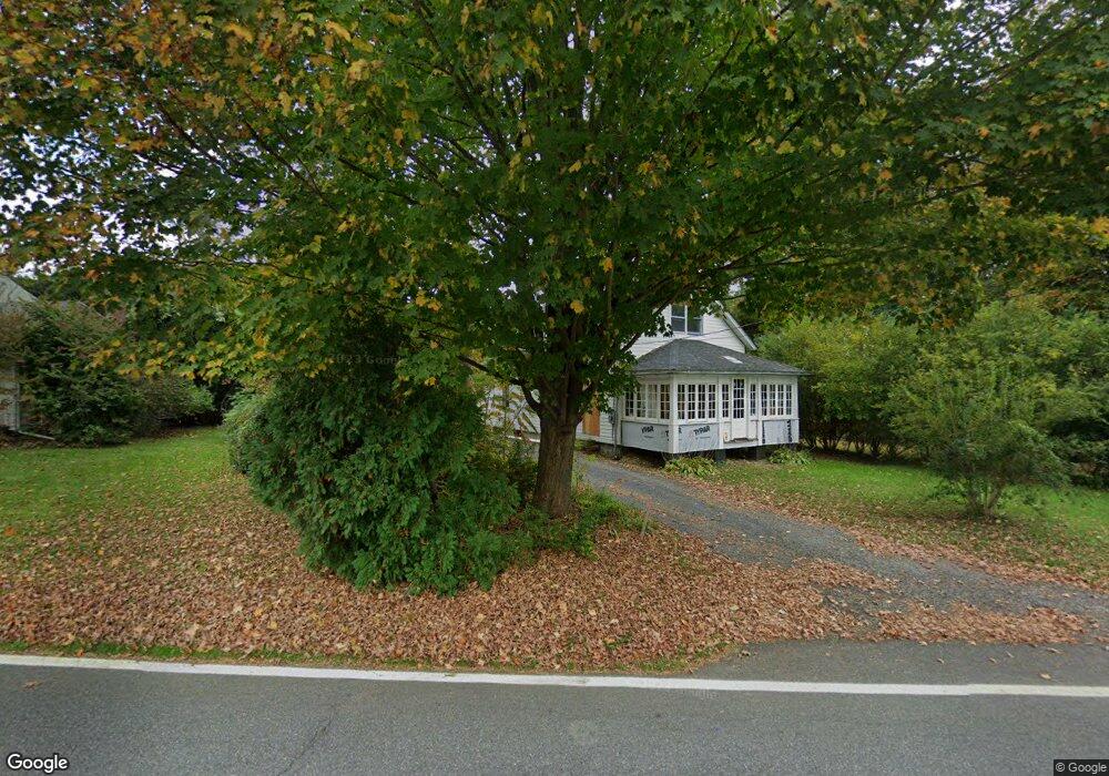
163 State Route 344 Copake Falls, NY 12517
Estimated Value: $348,381 - $575,000
3
Beds
2
Baths
1,491
Sq Ft
$307/Sq Ft
Est. Value
About This Home
This home is located at 163 State Route 344, Copake Falls, NY 12517 and is currently estimated at $457,595, approximately $306 per square foot. 163 State Route 344 is a home located in Columbia County with nearby schools including Taconic Hills Elementary School and Taconic Hills Junior/Senior High School.
Ownership History
Date
Name
Owned For
Owner Type
Purchase Details
Closed on
Dec 20, 2022
Sold by
Allen Richard W and Allen Frank Isabelle
Bought by
Hoysradt Donald C and Mieczkowska Magdalena
Current Estimated Value
Purchase Details
Closed on
Apr 29, 2011
Sold by
Gansowski Stanley
Bought by
Frank Isabelle J
Home Financials for this Owner
Home Financials are based on the most recent Mortgage that was taken out on this home.
Original Mortgage
$85,000
Interest Rate
4.82%
Mortgage Type
Purchase Money Mortgage
Create a Home Valuation Report for This Property
The Home Valuation Report is an in-depth analysis detailing your home's value as well as a comparison with similar homes in the area
Home Values in the Area
Average Home Value in this Area
Purchase History
| Date | Buyer | Sale Price | Title Company |
|---|---|---|---|
| Hoysradt Donald C | $265,000 | None Available | |
| Frank Isabelle J | $145,000 | Vincent Mackowski |
Source: Public Records
Mortgage History
| Date | Status | Borrower | Loan Amount |
|---|---|---|---|
| Previous Owner | Frank Isabelle J | $85,000 |
Source: Public Records
Tax History Compared to Growth
Tax History
| Year | Tax Paid | Tax Assessment Tax Assessment Total Assessment is a certain percentage of the fair market value that is determined by local assessors to be the total taxable value of land and additions on the property. | Land | Improvement |
|---|---|---|---|---|
| 2024 | $4,185 | $225,000 | $38,700 | $186,300 |
| 2023 | $4,129 | $225,000 | $38,700 | $186,300 |
| 2022 | $1,708 | $90,000 | $38,700 | $51,300 |
| 2021 | $1,725 | $90,000 | $38,700 | $51,300 |
| 2020 | $2,810 | $90,000 | $38,700 | $51,300 |
| 2019 | $1,733 | $90,000 | $38,700 | $51,300 |
| 2018 | $1,733 | $90,000 | $38,700 | $51,300 |
| 2017 | $2,671 | $90,000 | $38,700 | $51,300 |
| 2016 | $1,629 | $90,000 | $38,700 | $51,300 |
| 2015 | -- | $111,800 | $31,800 | $80,000 |
| 2014 | -- | $111,800 | $31,800 | $80,000 |
Source: Public Records
Map
Nearby Homes
- 23 Maple Ln
- 25 Miles Rd
- 40 N Mountain Rd
- 8025 Route 22 Stop 84
- 7951 New York 22
- 237 Main St
- 210 N Mountain Rd
- 15 Birch Rd
- 00 Taft Rd
- 0 Taft Rd
- 1236 Lakeview Rd
- 1174 Lakeview Rd
- 1076 Lakeview Rd
- 1084 Lakeview Rd
- 14 Brown Rd
- 623 Empire Rd
- 315 Weed Mine Rd Unit 2B
- 1600 County Route 7a
- 470 N Mountain Rd
- 78 Waldorf Ridge Rd
- 159 State Route 344
- 155 Old Route 22
- 166 Old Route 22
- 150 Old Route 22 Unit 2
- 150 Old Route 22 Unit 1
- 151 Rt 344
- 124 Mountain View St
- 144 Rt 344
- 144 Old Route 22
- 126 Mountain View Rd
- 126 Mountain View St
- 138 Old Route 22
- 344 New York 344
- 130 Mountain View St
- 138 Route 344
- 138 State Route 344
- 139 State Route 344 Unit MAIN
- 134 State Route 344
- 4 Old Route 22
- 133 New York 344