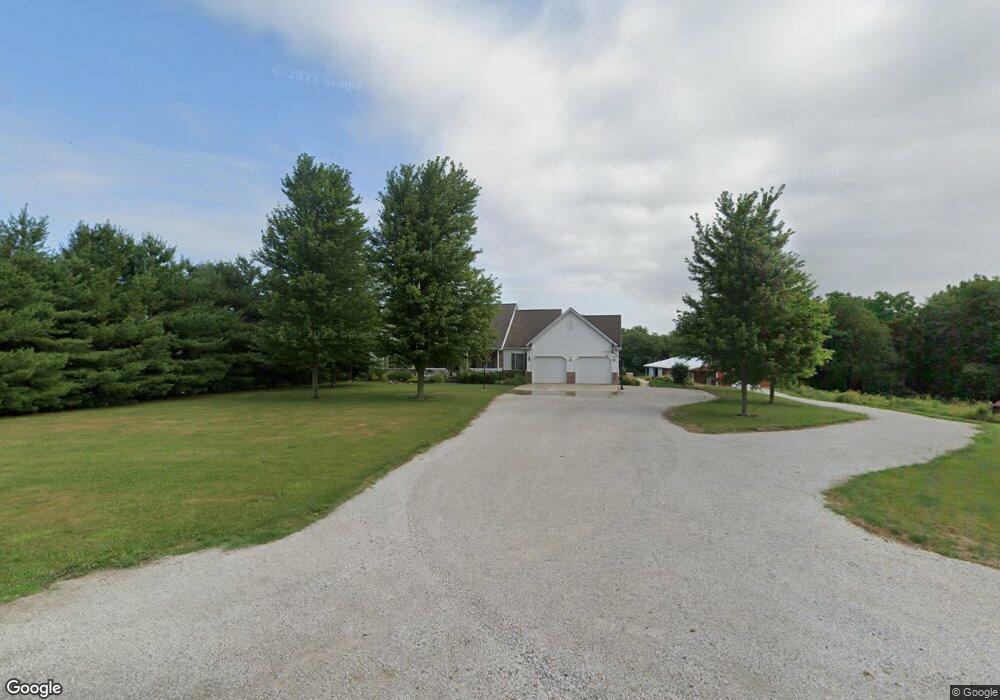
1630 2600th St Atlanta, IL 61723
Estimated Value: $255,000 - $466,215
4
Beds
3
Baths
4,372
Sq Ft
$79/Sq Ft
Est. Value
About This Home
This home is located at 1630 2600th St, Atlanta, IL 61723 and is currently estimated at $347,405, approximately $79 per square foot. 1630 2600th St is a home located in Logan County with nearby schools including Olympia High School.
Ownership History
Date
Name
Owned For
Owner Type
Purchase Details
Closed on
Nov 28, 2011
Sold by
Powell Jack and Powell Barbara
Bought by
Scheets Jonathan and Scheets Leilani M
Current Estimated Value
Home Financials for this Owner
Home Financials are based on the most recent Mortgage that was taken out on this home.
Original Mortgage
$332,499
Outstanding Balance
$228,541
Interest Rate
4.11%
Mortgage Type
Stand Alone First
Estimated Equity
$118,864
Create a Home Valuation Report for This Property
The Home Valuation Report is an in-depth analysis detailing your home's value as well as a comparison with similar homes in the area
Home Values in the Area
Average Home Value in this Area
Purchase History
| Date | Buyer | Sale Price | Title Company |
|---|---|---|---|
| Scheets Jonathan | $349,999 | -- |
Source: Public Records
Mortgage History
| Date | Status | Borrower | Loan Amount |
|---|---|---|---|
| Open | Scheets Jonathan | $332,499 |
Source: Public Records
Tax History Compared to Growth
Tax History
| Year | Tax Paid | Tax Assessment Tax Assessment Total Assessment is a certain percentage of the fair market value that is determined by local assessors to be the total taxable value of land and additions on the property. | Land | Improvement |
|---|---|---|---|---|
| 2024 | $9,928 | $126,300 | $4,480 | $121,820 |
| 2023 | $9,237 | $117,190 | $4,100 | $113,090 |
| 2022 | $8,652 | $109,490 | $3,780 | $105,710 |
| 2021 | $8,357 | $105,510 | $3,580 | $101,930 |
| 2020 | $8,410 | $105,400 | $3,470 | $101,930 |
| 2019 | $8,391 | $105,310 | $3,380 | $101,930 |
| 2018 | $8,118 | $101,360 | $3,200 | $98,160 |
| 2017 | $8,132 | $101,290 | $3,130 | $98,160 |
| 2016 | $8,173 | $102,360 | $3,090 | $99,270 |
| 2015 | $6,903 | $98,690 | $2,890 | $95,800 |
| 2014 | $6,903 | $98,690 | $2,890 | $95,800 |
| 2013 | $6,903 | $91,380 | $2,670 | $88,710 |
| 2012 | $6,903 | $92,610 | $2,660 | $89,950 |
Source: Public Records
Map
Nearby Homes
- 307 N Vine St
- 5 Sunnyside Estates
- 7 Sunnyside Estates
- 1517 W Lake Ct
- 46 N Lake Dr
- Lot 46 E Lake Ct
- 610 SE Vine St
- 18 Lincoln St
- 180 N 400 East Rd
- 2988 N 400 Rd E
- 1842 Castle Pine Place
- 2354 Railsplitter Ave
- 212 E Garfield St
- 2294 Railsplitter Ave
- 2322 2000th St
- 302 N Minier Ave
- 180 Regent St
- 1322 Richland Ave
- 216 Rochelle Ave
- 145 Half Moon St
- 1649 2600th St
- 1669 2600th St
- 1611 2600th St
- 1676 2600th St
- 2590 1600th Ave
- 2602 1600th Ave
- 2566 1600th Ave
- 2580 1600th Ave
- 2642 1600th Ave
- 2625 1700th Ave
- 2644 1600th Ave
- 2596 1600th Ave
- 2555 1700th Ave
- 2545 1600th Ave
- 1733 2600th St
- 1569 2575th St
- 1573 2575th St
- 1560 2575th St
- 2525 1600th Ave
- 1577 2575th St