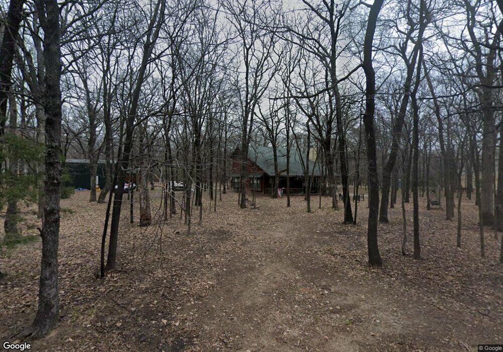
1630 Beach Landing Dr Kingston, OK 73439
Estimated Value: $357,559 - $404,000
3
Beds
2
Baths
1,708
Sq Ft
$218/Sq Ft
Est. Value
About This Home
This home is located at 1630 Beach Landing Dr, Kingston, OK 73439 and is currently estimated at $373,140, approximately $218 per square foot. 1630 Beach Landing Dr is a home with nearby schools including Kingston Middle School and Kingston High School.
Ownership History
Date
Name
Owned For
Owner Type
Purchase Details
Closed on
Sep 26, 2012
Sold by
Looper Benny Ray and Looper Sandra Kay
Bought by
Smith Cort K and Smith Leigh A
Current Estimated Value
Home Financials for this Owner
Home Financials are based on the most recent Mortgage that was taken out on this home.
Original Mortgage
$78,000
Outstanding Balance
$54,493
Interest Rate
3.7%
Mortgage Type
New Conventional
Estimated Equity
$318,647
Purchase Details
Closed on
Feb 7, 2005
Sold by
Looper Benny R and Looper Sandra K
Bought by
Looper Benny Ray and Looper Sandra Kay
Purchase Details
Closed on
Sep 10, 2002
Sold by
Newell Thomas and Newell Diane
Bought by
Looper Benny and Looper Sandra
Purchase Details
Closed on
Jan 6, 1998
Sold by
Nance Elizabeth
Bought by
Newell Richard
Create a Home Valuation Report for This Property
The Home Valuation Report is an in-depth analysis detailing your home's value as well as a comparison with similar homes in the area
Home Values in the Area
Average Home Value in this Area
Purchase History
| Date | Buyer | Sale Price | Title Company |
|---|---|---|---|
| Smith Cort K | $145,000 | None Available | |
| Looper Benny Ray | -- | None Available | |
| Looper Benny | $47,300 | -- | |
| Newell Richard | $11,000 | -- |
Source: Public Records
Mortgage History
| Date | Status | Borrower | Loan Amount |
|---|---|---|---|
| Open | Smith Cort K | $78,000 |
Source: Public Records
Tax History Compared to Growth
Tax History
| Year | Tax Paid | Tax Assessment Tax Assessment Total Assessment is a certain percentage of the fair market value that is determined by local assessors to be the total taxable value of land and additions on the property. | Land | Improvement |
|---|---|---|---|---|
| 2023 | $1,618 | $19,484 | $4,564 | $14,920 |
| 2022 | $1,478 | $18,556 | $4,113 | $14,443 |
| 2021 | $1,404 | $17,673 | $3,625 | $14,048 |
| 2020 | $1,343 | $16,831 | $3,625 | $13,206 |
| 2019 | $1,350 | $16,832 | $3,625 | $13,207 |
| 2018 | $1,357 | $16,832 | $3,625 | $13,207 |
| 2017 | $1,357 | $16,958 | $3,625 | $13,333 |
| 2016 | $1,265 | $15,748 | $3,625 | $12,123 |
| 2015 | $1,289 | $15,960 | $3,625 | $12,335 |
| 2014 | $1,323 | $16,312 | $3,595 | $12,717 |
Source: Public Records
Map
Nearby Homes
- 1694 Boat Ramp Rd
- 1668 Waters Rd
- 1766 Weeping Willow Ct
- 1794 Weeping Ln
- 1850 Weeping Ln
- 1882 Willow Place
- 1908 Rhynes Childress Loop
- 0 Wagon Train Rd
- 12198 Michael Blvd
- 12181 Drew Ave
- 12095 Rhynes Cir
- 12351 Longboard Loop
- 12195 Longboard Loop
- 12443 Longboard Loop
- 11989 Woodlands Cir
- 1417 Woodland
- 11907 Maximus Ln
- 1508 Sikes
- 11847 Weaverville Ln
- 11908 Maximus Ln
- 1698 Boat Ramp Rd
- 1616 Depot Place
- 1619 Depot Place
- 1712 Beach Ave
- 1712 Beach Landing Dr
- 1310 Lakeside
- 1308 Lakeside
- 1704 Depot Place
- 1725 Beach Landing Dr
- 1693 Ann Dr
- 1628 Ann Dr
- 1590 Ann Dr
- 1729 Ann Dr
- 1320 Lakeside
- 0 Ann Dr Unit 2115808
- 0 Atlantic Dr Unit 2239981
- 0 Atlantic Dr Unit 2006586
- 0 Atlantic Dr Unit 2022637
- 0 Atlantic Dr Unit 2032919
- 0 Atlantic Dr Unit 2217331