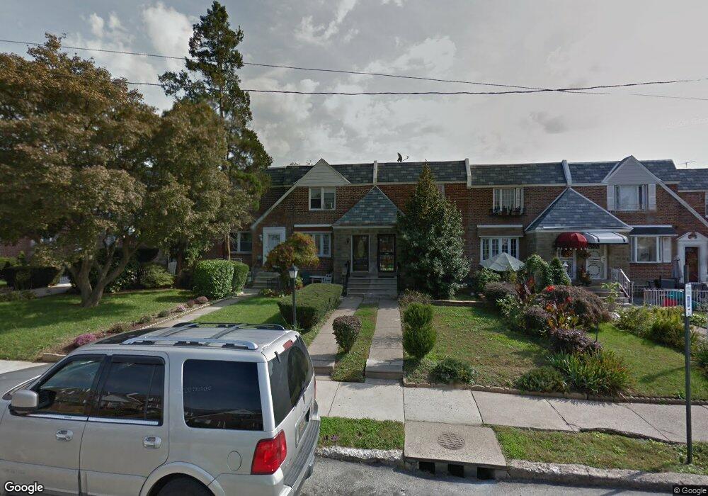
1630 Middleton St Philadelphia, PA 19138
West Oak Lane NeighborhoodEstimated Value: $202,000 - $246,000
3
Beds
1
Bath
1,314
Sq Ft
$170/Sq Ft
Est. Value
About This Home
This home is located at 1630 Middleton St, Philadelphia, PA 19138 and is currently estimated at $222,912, approximately $169 per square foot. 1630 Middleton St is a home located in Philadelphia County with nearby schools including Pennypacker Samuel School, Martin Luther King High School, and West Oak Lane Charter School.
Ownership History
Date
Name
Owned For
Owner Type
Purchase Details
Closed on
Apr 17, 1996
Sold by
Scott Tyrone
Bought by
Scott Tyrone and Scott Audrey R
Current Estimated Value
Purchase Details
Closed on
Apr 15, 1996
Sold by
Stein Mel and Stein Deena
Bought by
Scott Tyrone
Purchase Details
Closed on
Apr 3, 1995
Sold by
Green John D
Bought by
Federal Home Loan Mortgage Corporation
Purchase Details
Closed on
Mar 29, 1995
Sold by
Federal Home Loan Mortgage Corporation
Bought by
Stein Mel and Stein Deena
Create a Home Valuation Report for This Property
The Home Valuation Report is an in-depth analysis detailing your home's value as well as a comparison with similar homes in the area
Home Values in the Area
Average Home Value in this Area
Purchase History
| Date | Buyer | Sale Price | Title Company |
|---|---|---|---|
| Scott Tyrone | -- | -- | |
| Scott Tyrone | $70,000 | Lawyers Title Insurance Co | |
| Federal Home Loan Mortgage Corporation | $5,600 | -- | |
| Stein Mel | $19,000 | -- | |
| Stein Mel | $19,000 | -- |
Source: Public Records
Tax History Compared to Growth
Tax History
| Year | Tax Paid | Tax Assessment Tax Assessment Total Assessment is a certain percentage of the fair market value that is determined by local assessors to be the total taxable value of land and additions on the property. | Land | Improvement |
|---|---|---|---|---|
| 2025 | $2,559 | $226,600 | $45,320 | $181,280 |
| 2024 | $2,559 | $226,600 | $45,320 | $181,280 |
| 2023 | $2,559 | $182,800 | $36,560 | $146,240 |
| 2022 | $1,295 | $137,800 | $36,560 | $101,240 |
| 2021 | $1,925 | $0 | $0 | $0 |
| 2020 | $1,925 | $0 | $0 | $0 |
| 2019 | $2,009 | $0 | $0 | $0 |
| 2018 | $1,372 | $0 | $0 | $0 |
| 2017 | $1,792 | $0 | $0 | $0 |
| 2016 | $1,372 | $0 | $0 | $0 |
| 2015 | $1,313 | $0 | $0 | $0 |
| 2014 | -- | $128,000 | $13,909 | $114,091 |
| 2012 | -- | $17,920 | $2,554 | $15,366 |
Source: Public Records
Map
Nearby Homes
- 7349 E Walnut Ln
- 7277 E Walnut Ln
- 1544 Beverly Rd
- 7001 Limekiln Pike
- 1521 E Walnut Ln
- 2070 E Haines St
- 1520 Beverly Rd
- 6635 Hollis St
- 1559 E Pastorius St
- 1537 Beverly Rd
- 6824 Rodney St
- 1536 E Pastorius St
- 2029 Eastburn Ave
- 6313 E Wister St
- 6332 E Wister St
- 6661 Cornelius St
- 2056 Eastburn Ave
- 1505 Beverly Rd
- 6733 N Woodstock St
- 6620 Cornelius St
- 1628 Middleton St
- 1632 Middleton St
- 1626 Middleton St
- 1634 Middleton St
- 1624 Middleton St
- 1636 Middleton St
- 1638 Middleton St
- 1620 Middleton St
- 1640 Middleton St
- 1618 Middleton St
- 1642 Middleton St
- 1619 Andrews Ave
- 1621 Andrews Ave
- 1617 Andrews Ave
- 1623 Andrews Ave
- 1625 Andrews Ave
- 1615 Andrews Ave
- 1616 Middleton St
- 1644 Middleton St
- 1611 Andrews Ave