1630 Mockingbird Trail Bailey, CO 80421
Estimated Value: $615,904 - $676,000
3
Beds
3
Baths
2,328
Sq Ft
$273/Sq Ft
Est. Value
About This Home
This home is located at 1630 Mockingbird Trail, Bailey, CO 80421 and is currently estimated at $636,476, approximately $273 per square foot. 1630 Mockingbird Trail is a home located in Park County with nearby schools including Deer Creek Elementary School, Fitzsimmons Middle School, and Platte Canyon High School.
Ownership History
Date
Name
Owned For
Owner Type
Purchase Details
Closed on
Dec 15, 2016
Sold by
Poniatowski David J and Poniatowski Elizabeth
Bought by
Schmidke Linda
Current Estimated Value
Purchase Details
Closed on
Oct 31, 2007
Sold by
Poniatowski David J
Bought by
Poniatowski David J and Ponlatowski Elizabeth
Home Financials for this Owner
Home Financials are based on the most recent Mortgage that was taken out on this home.
Original Mortgage
$252,000
Interest Rate
6.42%
Mortgage Type
New Conventional
Create a Home Valuation Report for This Property
The Home Valuation Report is an in-depth analysis detailing your home's value as well as a comparison with similar homes in the area
Home Values in the Area
Average Home Value in this Area
Purchase History
We collect this data history from publicly available records. To have your information removed, we recommend requesting removal directly through your county’s website.
| Date | Buyer | Sale Price | Title Company |
|---|---|---|---|
| Schmidke Linda | $325,000 | Fidelity National Title Ins | |
| Poniatowski David J | -- | None Available |
Source: Public Records
Mortgage History
We collect this data history from publicly available records. To have your information removed, we recommend requesting removal directly through your county’s website.
| Date | Status | Borrower | Loan Amount |
|---|---|---|---|
| Previous Owner | Poniatowski David J | $252,000 |
Source: Public Records
Tax History
| Year | Tax Paid | Tax Assessment Tax Assessment Total Assessment is a certain percentage of the fair market value that is determined by local assessors to be the total taxable value of land and additions on the property. | Land | Improvement |
|---|---|---|---|---|
| 2025 | $2,353 | $36,760 | $4,950 | $31,810 |
| 2024 | $2,092 | $35,370 | $3,860 | $31,510 |
| 2023 | $2,092 | $35,370 | $3,860 | $31,510 |
| 2022 | $1,746 | $27,586 | $3,055 | $24,531 |
| 2021 | $1,733 | $28,380 | $3,140 | $25,240 |
| 2020 | $1,833 | $28,850 | $2,150 | $26,700 |
| 2019 | $1,809 | $28,850 | $2,150 | $26,700 |
| 2018 | $1,581 | $28,850 | $2,150 | $26,700 |
| 2017 | $1,350 | $20,890 | $1,960 | $18,930 |
| 2016 | $1,165 | $17,940 | $2,110 | $15,830 |
| 2015 | $1,175 | $17,940 | $2,110 | $15,830 |
| 2014 | $905 | $0 | $0 | $0 |
Source: Public Records
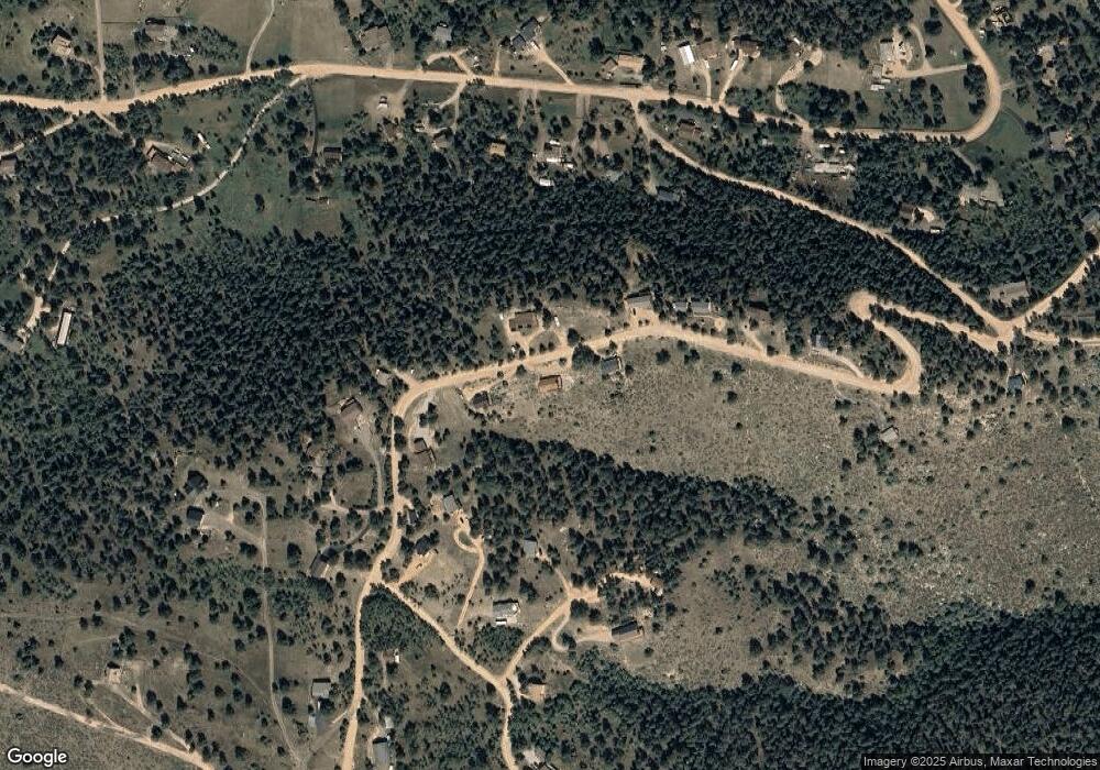
Map
Nearby Homes
- 174 Chickadee Dr
- 16 Auk Ln
- 140 Ptarmigan Trail
- 2729 County Road 72
- 21 Hummingbird Ct
- 280 Bunny Rd
- 204 Bob Cat Trail
- 2230 County Road 72
- 243 Hi Meadow Dr
- 1889 Burland Dr
- 43 Doe Cir
- 360 Hi Meadow Dr Unit 21
- 957 Yellow Pine Dr
- 475 Holmes Gulch Rd
- 1740 County Road 72
- 217 Catamount Ridge Rd
- 181 Catamount Ridge Rd
- 20 Long Ridge Dr
- 1462 Burland Dr
- 42 Catamount Ridge Rd
- 1631 Mockingbird Trail
- 1654 Mockingbird Trail
- 1606 Mockingbird Trail
- 0 Mockingbird Trail Unit 8
- 1583 Mockingbird Trail
- 1676 Mockingbird Trail Unit 13
- 1657 Mockingbird Trail
- 44 Eagle Trail
- 1698 Mockingbird Trail
- 1551 Mockingbird Trail
- 55 Robin Ln
- 1727 Mockingbird Trail
- 1021 Mockingbird Trail
- 20 Bluebird Ln Unit 12
- 1722 Mockingbird Trail
- 1531 Mockingbird Trail
- 24 Bluebird Ln
- 1681 Mockingbird Trail
- 68 Bluebird Ln
- 56 Robin Ln
Your Personal Tour Guide
Ask me questions while you tour the home.