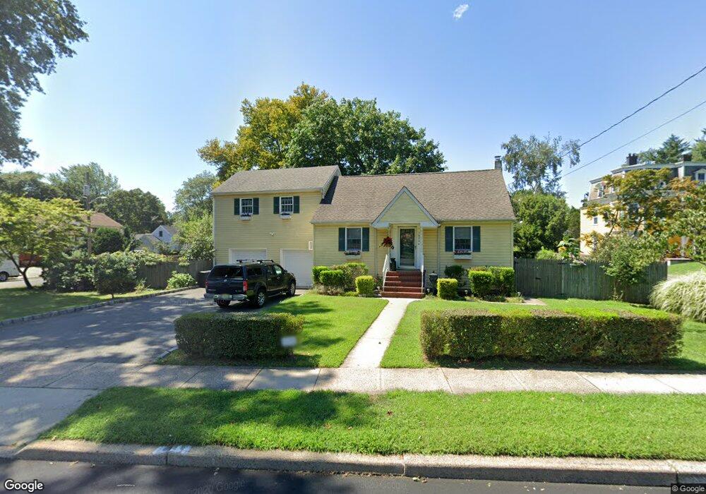
1630 Plainfield Ave South Plainfield, NJ 07080
Estimated Value: $517,782 - $646,000
--
Bed
--
Bath
--
Sq Ft
10,280
Sq Ft Lot
About This Home
This home is located at 1630 Plainfield Ave, South Plainfield, NJ 07080 and is currently estimated at $607,696. 1630 Plainfield Ave is a home located in Middlesex County with nearby schools including South Plainfield High School, The Queen City Academy Charter School, and Koinonia Academy.
Ownership History
Date
Name
Owned For
Owner Type
Purchase Details
Closed on
Mar 30, 1998
Sold by
Mcdonough Mark
Bought by
Silverstein Philip and Silverstein Catherine
Current Estimated Value
Home Financials for this Owner
Home Financials are based on the most recent Mortgage that was taken out on this home.
Original Mortgage
$112,000
Interest Rate
7.05%
Purchase Details
Closed on
May 15, 1997
Sold by
Beith Virginia
Bought by
Mcdonough Mark
Create a Home Valuation Report for This Property
The Home Valuation Report is an in-depth analysis detailing your home's value as well as a comparison with similar homes in the area
Home Values in the Area
Average Home Value in this Area
Purchase History
| Date | Buyer | Sale Price | Title Company |
|---|---|---|---|
| Silverstein Philip | $140,000 | -- | |
| Mcdonough Mark | $85,000 | -- |
Source: Public Records
Mortgage History
| Date | Status | Borrower | Loan Amount |
|---|---|---|---|
| Previous Owner | Silverstein Philip | $112,000 |
Source: Public Records
Tax History Compared to Growth
Tax History
| Year | Tax Paid | Tax Assessment Tax Assessment Total Assessment is a certain percentage of the fair market value that is determined by local assessors to be the total taxable value of land and additions on the property. | Land | Improvement |
|---|---|---|---|---|
| 2025 | $8,700 | $124,600 | $28,800 | $95,800 |
| 2024 | $8,321 | $124,600 | $28,800 | $95,800 |
| 2023 | $8,321 | $124,600 | $28,800 | $95,800 |
| 2022 | $8,217 | $124,600 | $28,800 | $95,800 |
| 2021 | $8,024 | $124,600 | $28,800 | $95,800 |
| 2020 | $7,907 | $124,600 | $28,800 | $95,800 |
| 2019 | $7,587 | $124,600 | $28,800 | $95,800 |
| 2018 | $7,391 | $124,600 | $28,800 | $95,800 |
| 2017 | $7,297 | $124,600 | $28,800 | $95,800 |
| 2016 | $7,223 | $124,600 | $28,800 | $95,800 |
| 2015 | $7,098 | $124,600 | $28,800 | $95,800 |
| 2014 | $6,894 | $124,600 | $28,800 | $95,800 |
Source: Public Records
Map
Nearby Homes
- 105 Firth St
- 1210 Maltby Ave
- 1221 Grant Ave Unit 23
- 1210 Field Ave
- 551 Melrose Ave
- 1712 Kenyon Ave
- 1726 Kenyon Ave
- 917 Tompkins Ave
- 909 Sherman Ave
- 139 Palmer Ave
- 1400 Kenyon Ave
- 814 Sherman Ave Unit 18
- 916 Sherman Ave
- 905 Stelle Ave Unit 7
- 127 Remington Ave Unit 31
- 1143 Worth Dr
- 132 Parkside Rd
- 241 Van Fleet Ave
- 1066 Allenwood Dr
- 1453 Tooz Place
- 110 Wood St
- 1700 Plainfield Ave
- 1624 Plainfield Ave
- 114 Wood St
- 115 Wood St
- 1706 Plainfield Ave
- 1617 Plainfield Ave
- 119 Wood St
- 1703 Plainfield Ave
- 1711 Plainfield Ave
- 121 Wood St
- 1615 Plainfield Ave
- 122 Wood St
- 1710 Plainfield Ave
- 110 Rahway Ave
- 128 Wood St
- 111 Rahway Ave
- 112 Tompkins Ave
- 118 Tompkins Ave
- 1707 Bullard Place