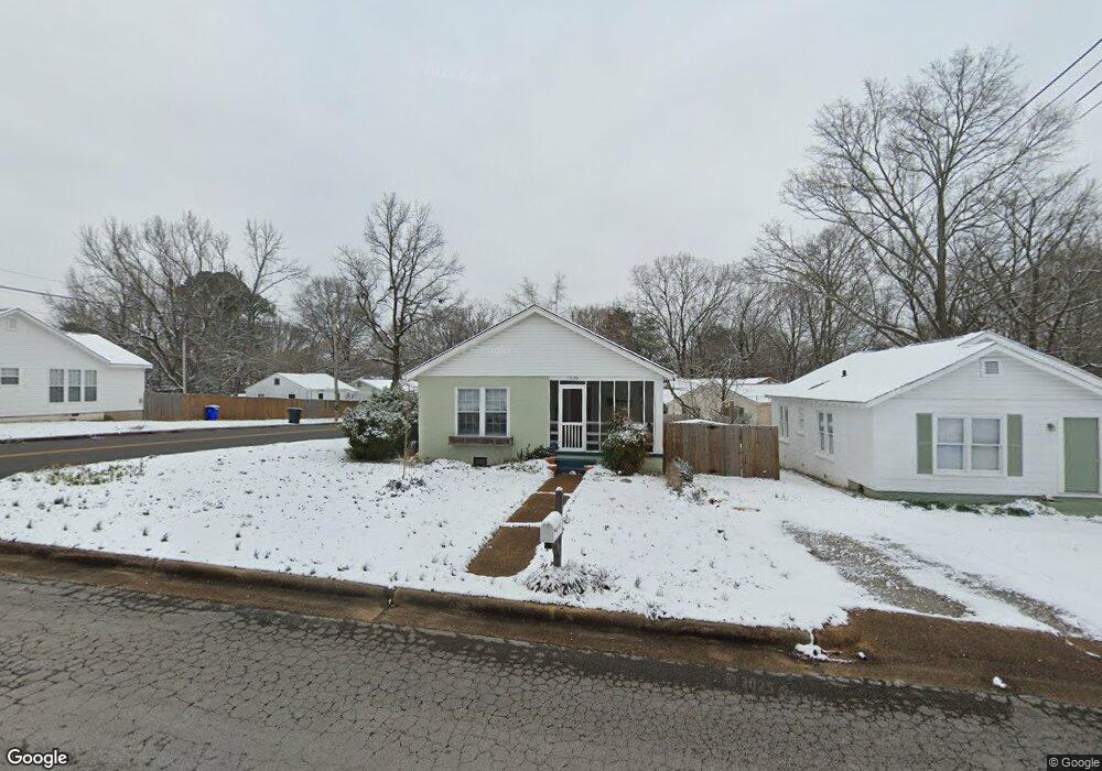
1630 Sherrod Ave Florence, AL 35630
North Florence NeighborhoodEstimated Value: $97,732 - $140,000
--
Bed
--
Bath
840
Sq Ft
$137/Sq Ft
Est. Value
About This Home
This home is located at 1630 Sherrod Ave, Florence, AL 35630 and is currently estimated at $114,933, approximately $136 per square foot. 1630 Sherrod Ave is a home located in Lauderdale County with nearby schools including Florence Freshman Center, Florence High School, and Mars Hill Bible School.
Ownership History
Date
Name
Owned For
Owner Type
Purchase Details
Closed on
Feb 24, 2021
Sold by
Coats Carl T and Caots Tommy
Bought by
Coats Minton Tanner
Current Estimated Value
Home Financials for this Owner
Home Financials are based on the most recent Mortgage that was taken out on this home.
Original Mortgage
$64,600
Outstanding Balance
$57,909
Interest Rate
2.7%
Mortgage Type
New Conventional
Estimated Equity
$57,024
Purchase Details
Closed on
Sep 8, 2016
Sold by
Coats Roger L and Coats Anthony W
Bought by
Coats Carl T
Purchase Details
Closed on
Jun 30, 2016
Sold by
Breece Teressa Coats and Aline Watson Coats Est
Bought by
Coats Roger
Create a Home Valuation Report for This Property
The Home Valuation Report is an in-depth analysis detailing your home's value as well as a comparison with similar homes in the area
Home Values in the Area
Average Home Value in this Area
Purchase History
| Date | Buyer | Sale Price | Title Company |
|---|---|---|---|
| Coats Minton Tanner | $68,000 | None Available | |
| Coats Carl T | $70,000 | None Available | |
| Coats Roger | $68,000 | None Available |
Source: Public Records
Mortgage History
| Date | Status | Borrower | Loan Amount |
|---|---|---|---|
| Open | Coats Minton Tanner | $64,600 |
Source: Public Records
Tax History Compared to Growth
Tax History
| Year | Tax Paid | Tax Assessment Tax Assessment Total Assessment is a certain percentage of the fair market value that is determined by local assessors to be the total taxable value of land and additions on the property. | Land | Improvement |
|---|---|---|---|---|
| 2024 | $684 | $13,960 | $1,120 | $12,840 |
| 2023 | $684 | $1,000 | $1,000 | $0 |
| 2022 | $538 | $10,980 | $0 | $0 |
| 2021 | $444 | $9,060 | $0 | $0 |
| 2020 | $391 | $7,980 | $0 | $0 |
| 2019 | $391 | $7,980 | $0 | $0 |
| 2018 | $384 | $7,840 | $0 | $0 |
| 2017 | $373 | $7,620 | $0 | $0 |
| 2016 | $354 | $7,220 | $0 | $0 |
| 2015 | -- | $3,620 | $0 | $0 |
| 2014 | -- | $3,440 | $0 | $0 |
Source: Public Records
Map
Nearby Homes
- 0 Sherrod Ave
- 222 Garfield Ave
- 332 Garfield Ave
- 319 Garfield Ave
- 203 Seymore Ave
- 217 Bayless Ave
- 1626 Ridge Ave
- 514 Collier Ave
- 308 Mitchell St
- 125 Foy Ave
- 506 Cypress Mill Rd
- 145 E Duncan Ave
- 120 Hampton Ave
- 2218 Calhoun Dr
- 1838 Shade Ave
- 614 Paxton St
- 1115 Wildwood Park Rd
- 820 Cypress Mill Rd
- 520 W Woodland Rd
- 304 Elder St
- 1616 Sherrod Ave
- 1614 Sherrod Ave
- 241 W Duncan Ave
- 1704 Sherrod Ave
- 1610 Sherrod Ave
- 1615 Sherrod Ave
- 1701 Sherrod Ave
- 1608 Sherrod Ave
- 238 W Duncan Ave
- 1710 Sherrod Ave
- 1611 Sherrod Ave
- 230 W Duncan Ave
- 1714 Sherrod Ave
- 1606 Sherrod Ave
- 230 Garfield Ave
- 227 W Duncan Ave
- 305 W Duncan Ave
- 1715 Sherrod Ave
- 226 Garfield Ave
- 1607 Sherrod Ave