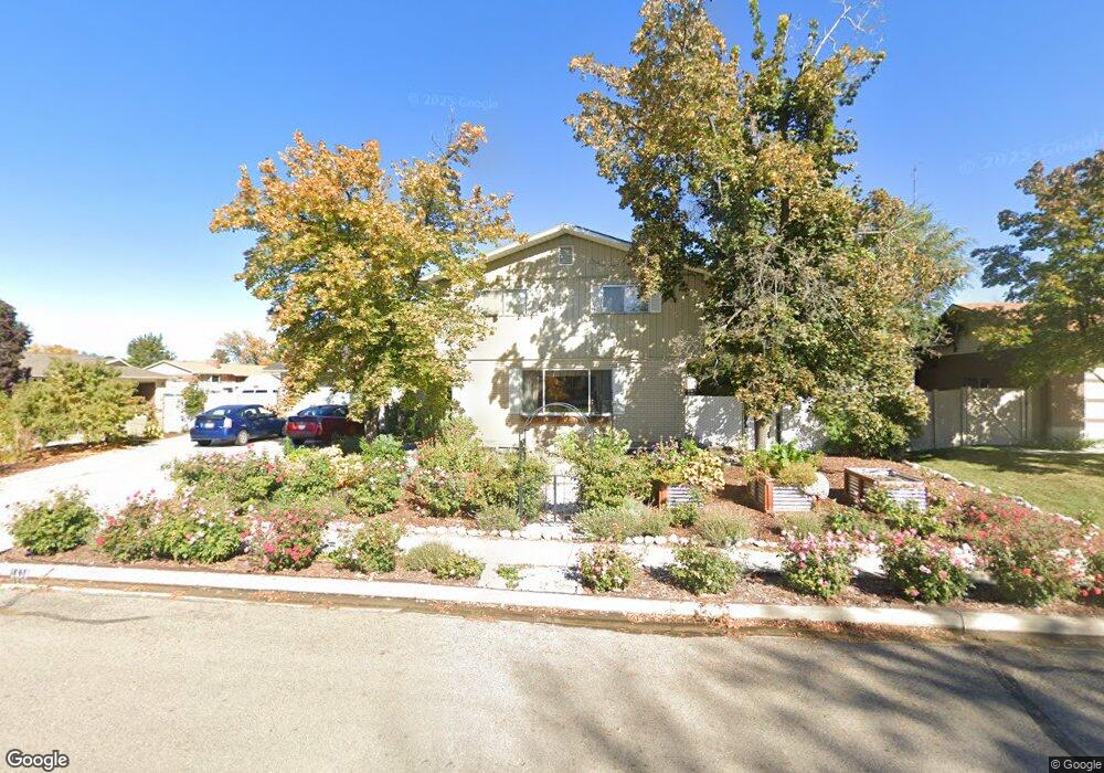
1630 W 1170 N Provo, UT 84604
Grandview South NeighborhoodEstimated Value: $624,000 - $767,000
6
Beds
3
Baths
2,547
Sq Ft
$260/Sq Ft
Est. Value
About This Home
This home is located at 1630 W 1170 N, Provo, UT 84604 and is currently estimated at $662,593, approximately $260 per square foot. 1630 W 1170 N is a home located in Utah County with nearby schools including Westridge Elementary School, Dixon Middle School, and Provo High School.
Ownership History
Date
Name
Owned For
Owner Type
Purchase Details
Closed on
Jun 4, 2003
Sold by
Merrill Russell T and Merrill Laurie A
Bought by
Mckinney Dennis G and Mckinney Celia A
Current Estimated Value
Home Financials for this Owner
Home Financials are based on the most recent Mortgage that was taken out on this home.
Original Mortgage
$156,000
Outstanding Balance
$67,492
Interest Rate
5.61%
Mortgage Type
Purchase Money Mortgage
Estimated Equity
$595,101
Purchase Details
Closed on
Jul 3, 2002
Sold by
Merrill Russell T and Merrill Laurie A
Bought by
Merrill Russell T and Merrill Laurie A
Purchase Details
Closed on
May 31, 2002
Sold by
Merrill Russell T and Merrill Laurie A
Bought by
Merrill Russell T and Merrill Laurie A
Create a Home Valuation Report for This Property
The Home Valuation Report is an in-depth analysis detailing your home's value as well as a comparison with similar homes in the area
Home Values in the Area
Average Home Value in this Area
Purchase History
| Date | Buyer | Sale Price | Title Company |
|---|---|---|---|
| Mckinney Dennis G | -- | Empire Land Title Company | |
| Merrill Russell T | -- | Surety Title | |
| Merrill Russell T | -- | Surety Title | |
| Merrill Russell T | -- | -- |
Source: Public Records
Mortgage History
| Date | Status | Borrower | Loan Amount |
|---|---|---|---|
| Open | Mckinney Dennis G | $156,000 | |
| Closed | Mckinney Dennis G | $29,250 |
Source: Public Records
Tax History Compared to Growth
Tax History
| Year | Tax Paid | Tax Assessment Tax Assessment Total Assessment is a certain percentage of the fair market value that is determined by local assessors to be the total taxable value of land and additions on the property. | Land | Improvement |
|---|---|---|---|---|
| 2025 | $3,123 | $306,900 | -- | -- |
| 2024 | $3,320 | $307,450 | $0 | $0 |
| 2023 | $648 | $322,135 | $0 | $0 |
| 2022 | $648 | $318,945 | $0 | $0 |
| 2021 | $2,552 | $435,600 | $110,300 | $325,300 |
| 2020 | $2,354 | $393,400 | $100,300 | $293,100 |
| 2019 | $2,354 | $391,600 | $100,300 | $291,300 |
| 2018 | $2,057 | $347,100 | $93,200 | $253,900 |
| 2017 | $1,843 | $170,885 | $0 | $0 |
| 2016 | -- | $161,095 | $0 | $0 |
| 2015 | $401 | $161,095 | $0 | $0 |
| 2014 | $157 | $138,435 | $0 | $0 |
Source: Public Records
Map
Nearby Homes
- 1574 W 1400 N
- 1893 Cascade Dr
- 986 N 1550 W
- 932 N 1760 W
- 962 Independence Ave
- 927 Independence Ave
- 1127 Independence Ave
- 2043 W 1100 N
- 1104 N 1220 W
- 1647 N 1450 W
- 1188 W 1380 N
- 1525 N 1250 W
- 1415 Arthur Dr
- 1250 Jordan Ave
- 1616 N 2100 W
- 1363 N 950 W
- 1500 Jordan Ave
- 1682 N 2250 W
- 1516 W 1970 N
- 1679 N 2250 W