16307 S Walnut Grove Rd Pleasant Hill, MO 64080
Estimated Value: $302,000 - $478,438
3
Beds
3
Baths
1,667
Sq Ft
$247/Sq Ft
Est. Value
About This Home
This home is located at 16307 S Walnut Grove Rd, Pleasant Hill, MO 64080 and is currently estimated at $411,813, approximately $247 per square foot. 16307 S Walnut Grove Rd is a home located in Cass County with nearby schools including Pleasant Hill Primary School, Pleasant Hill Elementary School, and Pleasant Hill Intermediate School.
Ownership History
Date
Name
Owned For
Owner Type
Purchase Details
Closed on
Jul 19, 2013
Sold by
Wolf Terry
Bought by
Walker Keith B
Current Estimated Value
Purchase Details
Closed on
Jul 17, 2013
Sold by
Mullinix Victor L and Mullinix Lee
Bought by
Wolf Terry
Purchase Details
Closed on
Aug 24, 2012
Sold by
Wolf Terry Lee
Bought by
Mullinix Lee
Purchase Details
Closed on
Oct 1, 2008
Sold by
Knight Terry J
Bought by
Wolf Terry
Create a Home Valuation Report for This Property
The Home Valuation Report is an in-depth analysis detailing your home's value as well as a comparison with similar homes in the area
Home Values in the Area
Average Home Value in this Area
Purchase History
| Date | Buyer | Sale Price | Title Company |
|---|---|---|---|
| Walker Keith B | -- | None Available | |
| Wolf Terry | -- | Coffelt Land Title Inc | |
| Mullinix Lee | -- | None Available | |
| Wolf Terry | -- | -- |
Source: Public Records
Tax History Compared to Growth
Tax History
| Year | Tax Paid | Tax Assessment Tax Assessment Total Assessment is a certain percentage of the fair market value that is determined by local assessors to be the total taxable value of land and additions on the property. | Land | Improvement |
|---|---|---|---|---|
| 2024 | $2,193 | $36,400 | $6,210 | $30,190 |
| 2023 | $2,193 | $36,400 | $6,210 | $30,190 |
| 2022 | $1,970 | $32,260 | $6,210 | $26,050 |
| 2021 | $1,906 | $32,260 | $6,210 | $26,050 |
| 2020 | $1,959 | $34,160 | $6,210 | $27,950 |
| 2019 | $1,927 | $34,160 | $6,210 | $27,950 |
| 2018 | $1,819 | $30,570 | $4,970 | $25,600 |
| 2017 | $1,730 | $30,570 | $4,970 | $25,600 |
| 2016 | $1,730 | $29,050 | $4,970 | $24,080 |
| 2015 | $1,757 | $29,050 | $4,970 | $24,080 |
| 2014 | $1,651 | $27,160 | $3,080 | $24,080 |
| 2013 | -- | $27,160 | $3,080 | $24,080 |
Source: Public Records
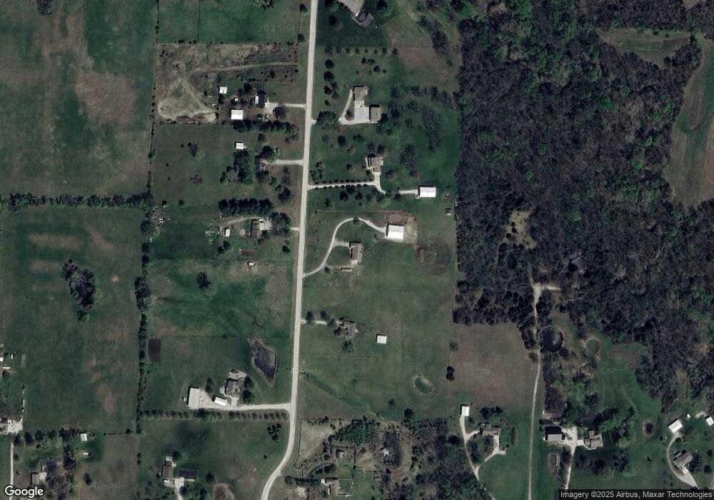
Map
Nearby Homes
- 29 Acres E State Route Vv
- 32204 E County Line Rd
- 16025 Knorpp Rd
- 1507 Trail Ridge Dr
- Lot 10 Snyder Rd
- 0 E County Line Rd
- Lot 7 Snyder Rd
- Lot 9 Snyder Rd
- Lot 8 Snyder Rd
- Lot 6 Snyder Rd
- 1405 E State Route Vv
- 1200 Buckeye Ln
- Lot 4 Snyder Rd
- Lot 5 Snyder Rd
- 1918 Owen Dr
- 1908 Owen Dr
- 2004 Owen Dr
- 902 Buckeye Ln
- 1202 Morgan Dr
- 14801 Hamilton Rd
- 16323 S Walnut Grove Rd
- 16219 S Walnut Grove Rd
- 16310 S Walnut Grove Rd
- 16220 S Walnut Grove Rd
- 16205 S Walnut Grove Rd
- 16206 S Walnut Grove Rd
- 16402 S Walnut Grove Rd
- 31700 E State Route Vv
- 31608 E State Route Vv
- 16115 S Walnut Grove Rd
- 16417 S Walnut Grove Rd
- 31200 E State Route Vv
- 31706 E State Route Vv
- 16116 S Walnut Grove Rd
- 31401 E State Route Vv
- 31501 E State Route Vv
- 31307 E State Route Vv
- 31603 E State Route Vv
- 31008 E State Route Vv
- 31900 E State Route Vv