16309 N 565 Rd Tahlequah, OK 74464
Estimated Value: $117,000 - $194,000
3
Beds
1
Bath
1,134
Sq Ft
$140/Sq Ft
Est. Value
About This Home
This home is located at 16309 N 565 Rd, Tahlequah, OK 74464 and is currently estimated at $158,305, approximately $139 per square foot. 16309 N 565 Rd is a home located in Cherokee County with nearby schools including Briggs Public School and Boudinot Christian School.
Ownership History
Date
Name
Owned For
Owner Type
Purchase Details
Closed on
Jan 16, 2018
Sold by
Mccarter Elva Jean
Bought by
Mccarter Elva Jean and Doyle Mary Jane
Current Estimated Value
Purchase Details
Closed on
Jan 10, 2002
Sold by
Wilma Ummerteskee Fixin
Bought by
John and Elva Mccarter
Create a Home Valuation Report for This Property
The Home Valuation Report is an in-depth analysis detailing your home's value as well as a comparison with similar homes in the area
Home Values in the Area
Average Home Value in this Area
Purchase History
| Date | Buyer | Sale Price | Title Company |
|---|---|---|---|
| Mccarter Elva Jean | -- | None Available | |
| John | -- | -- |
Source: Public Records
Tax History Compared to Growth
Tax History
| Year | Tax Paid | Tax Assessment Tax Assessment Total Assessment is a certain percentage of the fair market value that is determined by local assessors to be the total taxable value of land and additions on the property. | Land | Improvement |
|---|---|---|---|---|
| 2025 | $519 | $7,051 | $409 | $6,642 |
| 2024 | $499 | $7,050 | $166 | $6,884 |
| 2023 | $499 | $7,051 | $334 | $6,717 |
| 2022 | $517 | $7,051 | $334 | $6,717 |
| 2021 | $478 | $7,051 | $334 | $6,717 |
| 2020 | $480 | $7,051 | $440 | $6,611 |
| 2019 | $483 | $7,051 | $440 | $6,611 |
| 2018 | $491 | $7,051 | $440 | $6,611 |
| 2017 | $494 | $7,051 | $440 | $6,611 |
| 2016 | $480 | $6,845 | $440 | $6,405 |
| 2015 | $379 | $6,646 | $440 | $6,206 |
| 2014 | $379 | $6,454 | $319 | $6,135 |
Source: Public Records
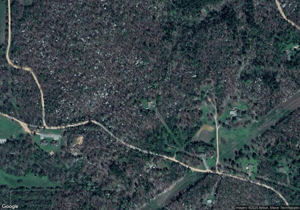
Map
Nearby Homes
- 24500 E 741 Rd
- 23244 E 754 Rd
- 16399 N 573 Rd
- 8147 N 544 Rd
- 17022 S 579 Rd
- 0 S Cary Ln
- 25302 Oklahoma 51
- 16527 N Highway 10
- 0 Hwy 10 N Unit 2514793
- 912 Summit Ridge Ct
- 462548 E 635 Rd
- 0 Alder Way
- 202 Alder Way
- 206 Alder Way
- 2205 Oakridge Dr
- 20596 E Whipperwill Rd
- 20455 E Whipperwill Rd
- 1390 N Legion Dr
- 2000 Tarkington St
- 17730 S Old Highway 62
- 23619 E 742 Rd
- 23616 E 742 Rd
- 100 E 742 Rd
- 23389 E 742 Rd
- 23600 E 742 Rd
- 23614 E 742 Rd
- 23700 E Cobbs Corner Rd
- 23732 E 742 Rd
- 23795 E Cobbs Corner Rd
- 23484 E 746 Rd
- 23512 E 744 Rd
- 23456 E 746 Rd
- 16459 N Briggs Flat Rd
- 23524 E 746 Rd
- 16489 N Briggs Flat Rd
- 23883 E 742 Rd
- 23860 E 742 Rd
- 23844 E Cobbs Corner Rd
- 23118 E 742 Rd
- 16519 N Briggs Flat Rd