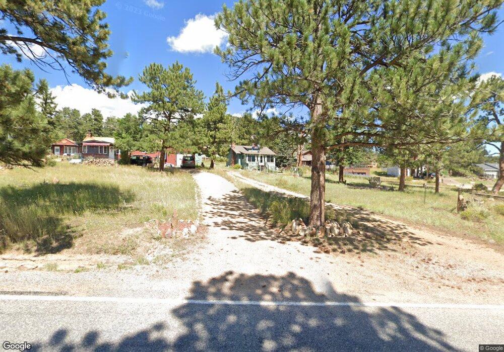
1631 High Dr Estes Park, CO 80517
Estimated Value: $613,000 - $757,000
3
Beds
2
Baths
1,524
Sq Ft
$437/Sq Ft
Est. Value
About This Home
This home is located at 1631 High Dr, Estes Park, CO 80517 and is currently estimated at $666,718, approximately $437 per square foot. 1631 High Dr is a home located in Larimer County with nearby schools including Estes Park K-5 School, Estes Park Options School, and Estes Park Middle School.
Ownership History
Date
Name
Owned For
Owner Type
Purchase Details
Closed on
Dec 5, 2001
Sold by
Davis Maemot
Bought by
Schwartz Alice D
Current Estimated Value
Home Financials for this Owner
Home Financials are based on the most recent Mortgage that was taken out on this home.
Original Mortgage
$147,850
Outstanding Balance
$57,001
Interest Rate
6.39%
Estimated Equity
$609,717
Purchase Details
Closed on
Feb 1, 2001
Sold by
Davis Alice
Bought by
Schwartz Alice D
Purchase Details
Closed on
Sep 1, 1994
Sold by
Davis Alice
Bought by
Davis Margot
Create a Home Valuation Report for This Property
The Home Valuation Report is an in-depth analysis detailing your home's value as well as a comparison with similar homes in the area
Home Values in the Area
Average Home Value in this Area
Purchase History
| Date | Buyer | Sale Price | Title Company |
|---|---|---|---|
| Schwartz Alice D | -- | Stewart Title | |
| Schwartz Alice D | -- | -- | |
| Davis Margot | -- | -- |
Source: Public Records
Mortgage History
| Date | Status | Borrower | Loan Amount |
|---|---|---|---|
| Open | Schwartz Alice D | $147,850 |
Source: Public Records
Tax History Compared to Growth
Tax History
| Year | Tax Paid | Tax Assessment Tax Assessment Total Assessment is a certain percentage of the fair market value that is determined by local assessors to be the total taxable value of land and additions on the property. | Land | Improvement |
|---|---|---|---|---|
| 2025 | $3,098 | $47,054 | $28,140 | $18,914 |
| 2024 | $3,063 | $47,054 | $28,140 | $18,914 |
| 2022 | $2,648 | $35,529 | $13,831 | $21,698 |
| 2021 | $2,719 | $36,551 | $14,229 | $22,322 |
| 2020 | $2,527 | $33,477 | $14,229 | $19,248 |
| 2019 | $2,509 | $33,477 | $14,229 | $19,248 |
| 2018 | $2,607 | $33,710 | $13,320 | $20,390 |
| 2017 | $2,621 | $33,710 | $13,320 | $20,390 |
| 2016 | $2,293 | $30,543 | $14,726 | $15,817 |
| 2015 | $2,264 | $30,550 | $14,730 | $15,820 |
| 2014 | $1,766 | $24,480 | $17,910 | $6,570 |
Source: Public Records
Map
Nearby Homes
- 1611 High Dr
- 739 Larkspur Rd
- 725 Upper Larkspur Ln
- 811 Larkspur Rd
- 810 Larkspur Rd
- 831 Larkspur Rd
- 1565 Highway 66 Unit 46
- 1565 Highway 66 Unit 33
- 1565 Highway 66 Unit 27
- 1565 Highway 66 Unit 49
- 1565 Highway 66 Unit 28
- 1401 High Dr
- 1575 Lower Broadview Rd
- 1263 Broadview
- 870 Moraine Ave
- 1141 Wallace Ln
- 2220 Eagle Cliff Rd
- 2238 Eagle Cliff Rd
- 0 Alpaca Farm Way
- 1420 Marys Lake Rd
- 1661 High Dr
- 1681 High Dr
- 1621 High Dr
- 1731 High Dr
- 1625 High Dr
- 1706 Hummingbird Ln
- 1660 Hummingbird Ln
- 741 Larkspur Rd
- 1601 High Dr
- 751 Larkspur Rd
- 1751 High Dr
- 1730 Hummingbird Ln
- 761 Larkspur Rd
- 1740 Hummingbird Ln
- 731 Upper Larkspur Ln
- 725 Larkspur Rd
- 1760 Hummingbird Ln
- 1591 High Dr
- 1751 Hummingbird Ln
- 1771 Hummingbird Ln