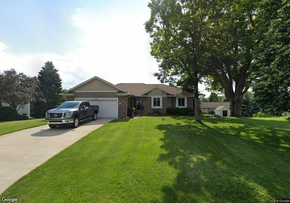
1631 High Pointe Dr Unit 35 Commerce Township, MI 48390
Estimated Value: $359,000 - $419,000
3
Beds
2
Baths
1,336
Sq Ft
$292/Sq Ft
Est. Value
About This Home
This home is located at 1631 High Pointe Dr Unit 35, Commerce Township, MI 48390 and is currently estimated at $389,493, approximately $291 per square foot. 1631 High Pointe Dr Unit 35 is a home located in Oakland County with nearby schools including Walled Lake Elementary School, Sarah G. Banks Middle School, and Walled Lake Western High School.
Ownership History
Date
Name
Owned For
Owner Type
Purchase Details
Closed on
Mar 24, 2022
Sold by
Buck Timothy E and Buck Catherine A
Bought by
Timothy E Buck And Catherine A Buck Revocable
Current Estimated Value
Purchase Details
Closed on
Nov 7, 2003
Sold by
Cupchak Robert J and Carlson Cupchak Janis L
Bought by
Buck Timothy E and Buck Catherine
Purchase Details
Closed on
May 9, 1995
Sold by
Cholewa Walter R
Bought by
Cupchak Robert J
Create a Home Valuation Report for This Property
The Home Valuation Report is an in-depth analysis detailing your home's value as well as a comparison with similar homes in the area
Home Values in the Area
Average Home Value in this Area
Purchase History
| Date | Buyer | Sale Price | Title Company |
|---|---|---|---|
| Timothy E Buck And Catherine A Buck Revocable | -- | Land Title | |
| Buck Timothy E | $256,500 | First American Title Ins Co | |
| Cupchak Robert J | $159,900 | -- |
Source: Public Records
Mortgage History
| Date | Status | Borrower | Loan Amount |
|---|---|---|---|
| Closed | Cupchak Robert J | -- |
Source: Public Records
Tax History Compared to Growth
Tax History
| Year | Tax Paid | Tax Assessment Tax Assessment Total Assessment is a certain percentage of the fair market value that is determined by local assessors to be the total taxable value of land and additions on the property. | Land | Improvement |
|---|---|---|---|---|
| 2024 | $1,896 | $159,770 | $0 | $0 |
| 2023 | $1,787 | $155,740 | $0 | $0 |
| 2022 | $2,836 | $146,580 | $0 | $0 |
| 2021 | $2,784 | $126,740 | $0 | $0 |
| 2020 | $1,766 | $122,960 | $0 | $0 |
| 2019 | $2,651 | $115,840 | $0 | $0 |
| 2018 | $2,629 | $103,910 | $0 | $0 |
| 2017 | $2,608 | $103,910 | $0 | $0 |
| 2016 | $2,560 | $100,130 | $0 | $0 |
| 2015 | -- | $99,660 | $0 | $0 |
| 2014 | -- | $91,960 | $0 | $0 |
| 2011 | -- | $77,840 | $0 | $0 |
Source: Public Records
Map
Nearby Homes
- 1640 High Pointe Dr
- 461 Alexander Dr
- 325 Glenwood Dr Unit 12
- 1249 Glenwood Ct
- 132 Copper Ridge Ct
- 1778 Addison Cir
- 1777 Addison Cir
- 855 S Pontiac Trail Unit A205
- 144 Coalmont St
- 44900 Bayview Dr Unit 21
- 895 S Pontiac Trail Unit 203
- 27202 Chesapeake Cir Unit 320
- 24202 Chesapeake Cir Unit 287
- 149 N Haven St
- 16107 Addington Dr
- 44847 Larkspur Unit 9
- 420 Wellsboro St
- 1900 S Lake Ct
- 1338 Andover Cir
- 1128 Andover Cir Unit 88
- 1641 High Pointe Dr
- 1621 High Pointe Dr
- 560 Alexander Dr
- 520 Alexander Dr
- 1630 High Pointe Dr Unit 9
- 580 Alexander Dr
- 1611 High Pointe Dr
- 1620 High Pointe Dr
- 500 Alexander Dr
- 1610 High Pointe Dr
- 1650 High Pointe Dr
- 1670 High Pointe Dr
- 1680 High Pointe Dr
- 1601 High Pointe Dr
- 1690 High Pointe Dr Unit 3
- 1660 High Pointe Dr
- 561 Alexander Dr
- 480 Alexander Dr Unit 31
- 541 Alexander Dr Unit 24
- 1600 High Pointe Dr