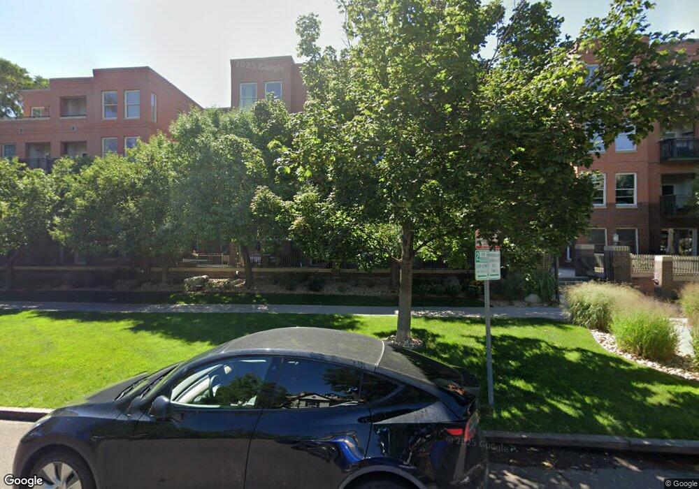
1631 N Emerson St Unit 411 Denver, CO 80218
Uptown NeighborhoodEstimated Value: $663,628 - $748,000
2
Beds
2
Baths
1,612
Sq Ft
$438/Sq Ft
Est. Value
About This Home
This home is located at 1631 N Emerson St Unit 411, Denver, CO 80218 and is currently estimated at $706,407, approximately $438 per square foot. 1631 N Emerson St Unit 411 is a home located in Denver County with nearby schools including Whittier ECE-8 School, Cole Arts & Science Academy, and McAuliffe Manual Middle School.
Ownership History
Date
Name
Owned For
Owner Type
Purchase Details
Closed on
Jun 28, 2017
Sold by
Keystone Partners I Llc
Bought by
Kite John A and Margritz Bradley S
Current Estimated Value
Purchase Details
Closed on
Sep 30, 2005
Sold by
Spaulding Robert Barton and Spaulding Charles A
Bought by
Keystone Partners I Llc
Home Financials for this Owner
Home Financials are based on the most recent Mortgage that was taken out on this home.
Original Mortgage
$330,000
Interest Rate
5.5%
Mortgage Type
New Conventional
Purchase Details
Closed on
Dec 23, 2002
Sold by
Swallow Hill Residences Llc
Bought by
Spaulding R Barton
Home Financials for this Owner
Home Financials are based on the most recent Mortgage that was taken out on this home.
Original Mortgage
$275,000
Interest Rate
4.5%
Mortgage Type
Purchase Money Mortgage
Create a Home Valuation Report for This Property
The Home Valuation Report is an in-depth analysis detailing your home's value as well as a comparison with similar homes in the area
Home Values in the Area
Average Home Value in this Area
Purchase History
| Date | Buyer | Sale Price | Title Company |
|---|---|---|---|
| Kite John A | $585,000 | Land Title Guarantee | |
| Keystone Partners I Llc | -- | -- | |
| Spaulding Robert Barton | -- | -- | |
| Spaulding R Barton | $459,000 | First American Heritage Titl |
Source: Public Records
Mortgage History
| Date | Status | Borrower | Loan Amount |
|---|---|---|---|
| Previous Owner | Spaulding Robert Barton | $330,000 | |
| Previous Owner | Spaulding R Barton | $275,000 |
Source: Public Records
Tax History Compared to Growth
Tax History
| Year | Tax Paid | Tax Assessment Tax Assessment Total Assessment is a certain percentage of the fair market value that is determined by local assessors to be the total taxable value of land and additions on the property. | Land | Improvement |
|---|---|---|---|---|
| 2024 | $3,590 | $45,330 | $2,830 | $42,500 |
| 2023 | $3,512 | $45,330 | $2,830 | $42,500 |
| 2022 | $3,484 | $43,810 | $2,940 | $40,870 |
| 2021 | $3,362 | $45,060 | $3,020 | $42,040 |
| 2020 | $3,202 | $43,150 | $3,020 | $40,130 |
| 2019 | $3,112 | $43,150 | $3,020 | $40,130 |
| 2018 | $2,942 | $38,030 | $1,860 | $36,170 |
| 2017 | $2,933 | $38,030 | $1,860 | $36,170 |
| 2016 | $2,926 | $35,880 | $1,775 | $34,105 |
| 2015 | $2,803 | $35,880 | $1,775 | $34,105 |
| 2014 | $2,637 | $31,750 | $2,332 | $29,418 |
Source: Public Records
Map
Nearby Homes
- 1630 N Clarkson St Unit 108
- 1630 N Clarkson St Unit 508
- 1630 N Clarkson St Unit 204
- 1630 N Clarkson St Unit 110
- 1631 N Emerson St Unit 323
- 1631 N Emerson St Unit 207
- 836 E 17th Ave Unit 1F
- 836 E 17th Ave Unit 2B
- 1629 N Clarkson St Unit 23
- 837 E 17th Ave Unit 2I
- 837 E 17th Ave Unit 2K
- 1626 N Washington St
- 1745 Emerson St
- 1001 E 17th Ave Unit 13
- 1001 E 17th Ave Unit 14
- 1699 N Downing St Unit 306
- 1650 N Pearl St Unit 17
- 1747 N Washington St Unit C303
- 1747 N Pearl St Unit 106
- 1767 N Pearl St Unit 308
- 1630 N Clarkson St Unit 710
- 1630 N Clarkson St Unit 708
- 1630 N Clarkson St Unit 706
- 1630 N Clarkson St Unit 704
- 1630 N Clarkson St Unit 702
- 1630 N Clarkson St Unit 700
- 1630 N Clarkson St Unit 614
- 1630 N Clarkson St Unit 612
- 1630 N Clarkson St Unit 610
- 1630 N Clarkson St Unit 608
- 1630 N Clarkson St Unit 606
- 1630 N Clarkson St Unit 604
- 1630 N Clarkson St Unit 602
- 1630 N Clarkson St Unit 600
- 1630 N Clarkson St Unit 518
- 1630 N Clarkson St Unit 516
- 1630 N Clarkson St Unit 514
- 1630 N Clarkson St Unit 512
- 1630 N Clarkson St Unit 510
- 1630 N Clarkson St Unit 506