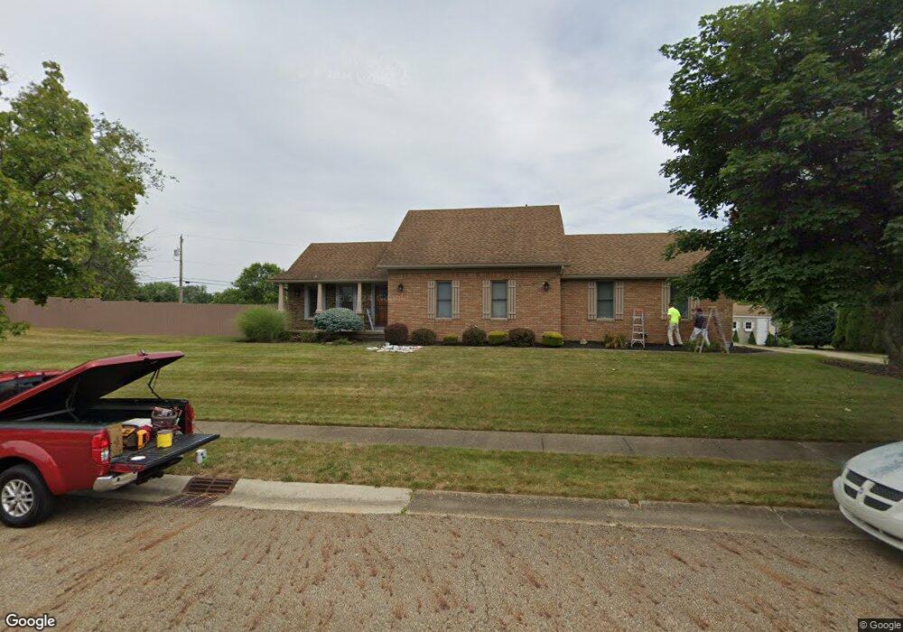
1631 Opal St Louisville, OH 44641
Estimated Value: $213,000 - $292,033
3
Beds
3
Baths
1,966
Sq Ft
$126/Sq Ft
Est. Value
About This Home
This home is located at 1631 Opal St, Louisville, OH 44641 and is currently estimated at $248,508, approximately $126 per square foot. 1631 Opal St is a home located in Stark County with nearby schools including Louisville High School and St. Thomas Aquinas High School & Middle School.
Ownership History
Date
Name
Owned For
Owner Type
Purchase Details
Closed on
Mar 2, 2018
Sold by
Dinunzio Linda L
Bought by
Dinunzio Linda L and The Linda L Dinunzio Revocable Trust
Current Estimated Value
Purchase Details
Closed on
Aug 27, 2009
Sold by
Rhodes Roy T and Lynne Rhodes R
Bought by
Dinunzio Linda L
Home Financials for this Owner
Home Financials are based on the most recent Mortgage that was taken out on this home.
Original Mortgage
$82,000
Outstanding Balance
$53,682
Interest Rate
5.21%
Mortgage Type
Seller Take Back
Estimated Equity
$194,826
Purchase Details
Closed on
Mar 31, 1993
Create a Home Valuation Report for This Property
The Home Valuation Report is an in-depth analysis detailing your home's value as well as a comparison with similar homes in the area
Home Values in the Area
Average Home Value in this Area
Purchase History
| Date | Buyer | Sale Price | Title Company |
|---|---|---|---|
| Dinunzio Linda L | -- | None Available | |
| Dinunzio Linda L | $100,000 | Attorney | |
| -- | $77,900 | -- |
Source: Public Records
Mortgage History
| Date | Status | Borrower | Loan Amount |
|---|---|---|---|
| Open | Dinunzio Linda L | $82,000 |
Source: Public Records
Tax History Compared to Growth
Tax History
| Year | Tax Paid | Tax Assessment Tax Assessment Total Assessment is a certain percentage of the fair market value that is determined by local assessors to be the total taxable value of land and additions on the property. | Land | Improvement |
|---|---|---|---|---|
| 2025 | -- | $83,060 | $21,560 | $61,500 |
| 2024 | -- | $83,060 | $21,560 | $61,500 |
| 2023 | $2,975 | $69,200 | $20,340 | $48,860 |
| 2022 | $2,981 | $69,200 | $20,340 | $48,860 |
| 2021 | $2,989 | $69,200 | $20,340 | $48,860 |
| 2020 | $2,488 | $62,550 | $18,310 | $44,240 |
| 2019 | $2,498 | $62,560 | $18,310 | $44,250 |
| 2018 | $2,489 | $62,560 | $18,310 | $44,250 |
| 2017 | $2,301 | $55,790 | $16,100 | $39,690 |
| 2016 | $2,348 | $55,790 | $16,100 | $39,690 |
| 2015 | $2,355 | $55,790 | $16,100 | $39,690 |
| 2014 | $187 | $48,170 | $13,900 | $34,270 |
| 2013 | $285 | $48,170 | $13,900 | $34,270 |
Source: Public Records
Map
Nearby Homes
- 1715 High St
- 1812 E Broad St
- 2110 Edmar St
- 641 S Nickelplate St
- 520 S Silver St
- 308 Superior St
- 728 E Broad St
- 908 Sand Lot Cir
- 0 Michigan Blvd
- 2015 E Main St
- 3390 Meese Rd NE
- 510 S Bauman Ct
- 204 E Broad St
- 107 E Broad St
- 325 Lincoln Ave
- 1702 View Pointe Ave
- 1170 Winding Ridge Ave
- 8225 Georgetown St
- 1639 Horizon Dr
- 910 Crosswyck Cir
- 1680 Briarwood St
- 1707 Opal St
- 1660 Briarwood St
- 1704 Briarwood St
- 1630 Opal St
- 1640 Opal St
- 58 Briarwood St
- 1716 Briarwood St
- 1118 Hazel Ave
- 1116 Hazel Ave
- 1710 Opal St
- 1721 Opal St
- 1120 Hazel Ave
- 59 Briarwood St
- 1665 Briarwood St
- 1026 Hazel Ave
- 1728 Briarwood St
- 1695 Briarwood St
- 1627 Edmar St
- 1637 Edmar St