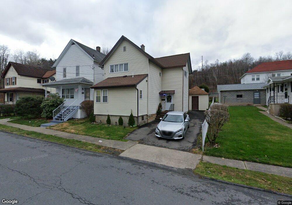
1631 Ralph Ave Unit L50 Scranton, PA 18508
Tripp's Park NeighborhoodEstimated Value: $112,000 - $157,856
3
Beds
2
Baths
1,186
Sq Ft
$116/Sq Ft
Est. Value
About This Home
This home is located at 1631 Ralph Ave Unit L50, Scranton, PA 18508 and is currently estimated at $137,464, approximately $115 per square foot. 1631 Ralph Ave Unit L50 is a home located in Lackawanna County with nearby schools including Neil Armstrong Elementary School, Pinchbeck Elementary School, and Pemberton Elementary School.
Ownership History
Date
Name
Owned For
Owner Type
Purchase Details
Closed on
Jun 14, 2010
Sold by
Deutsche Bank National Trust Company
Bought by
Saita Carmine and Saita Linda
Current Estimated Value
Purchase Details
Closed on
Jun 3, 2010
Sold by
Lukaitis Ronald and Lukaitis Saveria
Bought by
Deutsche Bank National Trust Company
Create a Home Valuation Report for This Property
The Home Valuation Report is an in-depth analysis detailing your home's value as well as a comparison with similar homes in the area
Home Values in the Area
Average Home Value in this Area
Purchase History
| Date | Buyer | Sale Price | Title Company |
|---|---|---|---|
| Saita Carmine | $47,600 | None Available | |
| Deutsche Bank National Trust Company | $1,273 | None Available |
Source: Public Records
Tax History Compared to Growth
Tax History
| Year | Tax Paid | Tax Assessment Tax Assessment Total Assessment is a certain percentage of the fair market value that is determined by local assessors to be the total taxable value of land and additions on the property. | Land | Improvement |
|---|---|---|---|---|
| 2025 | $2,550 | $8,000 | $1,150 | $6,850 |
| 2024 | $2,328 | $8,000 | $1,150 | $6,850 |
| 2023 | $2,328 | $8,000 | $1,150 | $6,850 |
| 2022 | $2,277 | $8,000 | $1,150 | $6,850 |
| 2021 | $2,277 | $8,000 | $1,150 | $6,850 |
| 2020 | $2,234 | $8,000 | $1,150 | $6,850 |
| 2019 | $2,101 | $8,000 | $1,150 | $6,850 |
| 2018 | $2,101 | $8,000 | $1,150 | $6,850 |
| 2017 | $2,063 | $8,000 | $1,150 | $6,850 |
| 2016 | $614 | $8,000 | $1,150 | $6,850 |
| 2015 | $1,544 | $8,000 | $1,150 | $6,850 |
| 2014 | -- | $8,000 | $1,150 | $6,850 |
Source: Public Records
Map
Nearby Homes
- 1515-1517 Brick Ave
- 401 Putnam St
- 231 Putnam St
- 1729 Wayne Ave
- 1711 N Sumner Ave
- 1402 N Rebecca Ave
- 117 Ferdinand St
- 1819 Clearview St Unit L 109
- 1436 Church Ave
- 0 Philo St Unit GSBSC4763
- 1430 N Main Ave
- 314 W Market St
- 1810 Cusick Ave
- 1235 N Sumner Ave
- 18 Green Ridge St
- 1311 Short Ave
- 116 Little Spike Way Unit L 40
- 337 Spring St
- 656 Philo St
- 1227 Providence Rd
- 1629 Ralph Ave
- 361 Ferdinand St
- 1625 Ralph Ave Unit L48
- 373 Ferdinand St
- 402 Theodore St
- 1632 Ralph Ave
- 355 Ferdinand St Unit 357
- 358 Theodore St
- 356 Theodore St
- 351 Ferdinand St
- 352 Theodore St
- 362 Ferdinand St Unit 364
- 362 Ferdinand St
- 364 Ferdinand St
- 354 Theodore St
- 366 Ferdinand St
- 370 Ferdinand St
- 349 Ferdinand St Unit L83
- 358 Ferdinand St
- 347 Ferdinand St