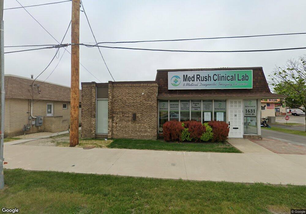
1631 Rand Rd Des Plaines, IL 60016
Estimated Value: $325,899
Studio
--
Bath
3,420
Sq Ft
$95/Sq Ft
Est. Value
About This Home
This home is located at 1631 Rand Rd, Des Plaines, IL 60016 and is currently estimated at $325,899, approximately $95 per square foot. 1631 Rand Rd is a home located in Cook County with nearby schools including North Elementary School, Chippewa Middle School, and Maine West High School.
Ownership History
Date
Name
Owned For
Owner Type
Purchase Details
Closed on
Jan 29, 2016
Sold by
Ahlbeck Thomas H and Ahlbeck Beverly
Bought by
Rand Road Building Llc
Current Estimated Value
Purchase Details
Closed on
Nov 14, 2014
Sold by
Chicago Title Land Trust Company
Bought by
Ahlbeck Thomas H
Purchase Details
Closed on
Sep 5, 2000
Sold by
Gary M Hutter & Andrew H Tudor Prtnrshp
Bought by
Lasalle Bank National Assn and Trust #126588
Home Financials for this Owner
Home Financials are based on the most recent Mortgage that was taken out on this home.
Original Mortgage
$300,000
Interest Rate
9.75%
Mortgage Type
Commercial
Purchase Details
Closed on
Sep 25, 1997
Sold by
The Northern Trust Company
Bought by
Hutter Gary M and Tudor Andrew H
Create a Home Valuation Report for This Property
The Home Valuation Report is an in-depth analysis detailing your home's value as well as a comparison with similar homes in the area
Home Values in the Area
Average Home Value in this Area
Purchase History
| Date | Buyer | Sale Price | Title Company |
|---|---|---|---|
| Rand Road Building Llc | -- | Attorney | |
| Ahlbeck Thomas H | $190,000 | Chicago Title Land Trust Co | |
| Lasalle Bank National Assn | $236,000 | -- | |
| Hutter Gary M | $130,000 | -- |
Source: Public Records
Mortgage History
| Date | Status | Borrower | Loan Amount |
|---|---|---|---|
| Previous Owner | Lasalle Bank National Assn | $300,000 |
Source: Public Records
Tax History
| Year | Tax Paid | Tax Assessment Tax Assessment Total Assessment is a certain percentage of the fair market value that is determined by local assessors to be the total taxable value of land and additions on the property. | Land | Improvement |
|---|---|---|---|---|
| 2025 | $18,485 | $103,250 | $54,433 | $48,817 |
| 2024 | $18,485 | $70,111 | $33,870 | $36,241 |
| 2023 | $13,617 | $70,111 | $33,870 | $36,241 |
| 2022 | $13,617 | $52,919 | $33,870 | $19,049 |
| 2021 | $12,050 | $39,203 | $33,869 | $5,334 |
| 2020 | $13,689 | $45,298 | $33,869 | $11,429 |
| 2019 | $14,241 | $52,918 | $33,869 | $19,049 |
| 2018 | $14,225 | $47,564 | $21,773 | $25,791 |
| 2017 | $13,973 | $47,564 | $21,773 | $25,791 |
| 2016 | $13,199 | $47,499 | $21,773 | $25,726 |
| 2015 | $14,360 | $47,499 | $20,563 | $26,936 |
| 2014 | $11,928 | $40,305 | $20,563 | $19,742 |
| 2013 | $11,631 | $40,304 | $20,563 | $19,741 |
Source: Public Records
Map
Nearby Homes
- 1569 Sherman Place
- 430 Oak St
- 555 S River Rd Unit 607
- 1509 Brown St Unit 11
- 365 Graceland Ave Unit 205A
- 659 S Des Plaines River Rd Unit 2A
- 656 Pearson St Unit 203C
- 555 Graceland Ave Unit 503
- 1670 Mill St Unit 207
- 1389 Perry St Unit 203
- 1349 E Washington St Unit 404A
- 1378 Perry St Unit 412
- 176 Grove Ave Unit C
- 650 S River Rd Unit 701
- 1327 E Washington St Unit 309
- 1327 Brown St Unit 404
- 1333 Willow Ave
- 1308 Perry St Unit B
- 1325 Perry St Unit 606
- 1288 Perry St Unit 2
- 1645 Rand Rd
- 1651 Rand Rd
- 1585 Rand Rd Unit C
- 1585 Rand Rd Unit B
- 1640 Elk Blvd
- 1644 Elk Blvd
- 1644 Elk Blvd Unit 1W
- 1644 Elk Blvd Unit 1W
- 1683 Elk Blvd
- 1695 Elk Blvd
- 1701 Rand Rd
- 485 S River Rd
- 445 S River Rd
- 395 Elk Blvd
- 395 Elk Blvd Unit 3B
- 395 Elk Blvd Unit 3A
- 395 Elk Blvd Unit 3F
- 395 Elk Blvd Unit 2A
- 395 Elk Blvd Unit 1A
- 1602 Rand Rd
Your Personal Tour Guide
Ask me questions while you tour the home.