1631 Rowland Dr Louisville, GA 30434
Estimated Value: $174,000 - $2,350,000
--
Bed
--
Bath
1,794
Sq Ft
$902/Sq Ft
Est. Value
About This Home
This home is located at 1631 Rowland Dr, Louisville, GA 30434 and is currently estimated at $1,618,542, approximately $902 per square foot. 1631 Rowland Dr is a home with nearby schools including Jefferson County High School and Pinecrest Mennonite School.
Ownership History
Date
Name
Owned For
Owner Type
Purchase Details
Closed on
Oct 15, 2010
Sold by
Boehs Harvey
Bought by
Church Of God In Christ Mennonite
Current Estimated Value
Purchase Details
Closed on
Dec 8, 2009
Sold by
Boehs Jason H
Bought by
Boehs Harvey
Purchase Details
Closed on
Dec 16, 2005
Sold by
Boehs Harvey
Bought by
Boehs Harvey and Boehs Jason H
Create a Home Valuation Report for This Property
The Home Valuation Report is an in-depth analysis detailing your home's value as well as a comparison with similar homes in the area
Home Values in the Area
Average Home Value in this Area
Purchase History
| Date | Buyer | Sale Price | Title Company |
|---|---|---|---|
| Church Of God In Christ Mennonite | -- | -- | |
| Gearig Lloyd D | $879,961 | -- | |
| Boehs Harvey | $236,681 | -- | |
| Boehs Harvey | $75,000 | -- |
Source: Public Records
Tax History Compared to Growth
Tax History
| Year | Tax Paid | Tax Assessment Tax Assessment Total Assessment is a certain percentage of the fair market value that is determined by local assessors to be the total taxable value of land and additions on the property. | Land | Improvement |
|---|---|---|---|---|
| 2025 | $7,391 | $638,501 | $596,763 | $41,738 |
| 2024 | $6,635 | $640,997 | $596,763 | $44,234 |
| 2023 | $6,877 | $524,720 | $481,894 | $42,826 |
| 2022 | $6,650 | $522,782 | $481,894 | $40,888 |
| 2021 | $6,831 | $512,746 | $470,183 | $42,563 |
| 2020 | $6,746 | $514,173 | $470,183 | $43,990 |
| 2019 | $6,774 | $515,860 | $470,183 | $45,677 |
| 2018 | $6,443 | $457,491 | $411,808 | $45,683 |
| 2017 | $6,421 | $468,525 | $419,914 | $48,611 |
| 2016 | $5,781 | $470,628 | $419,914 | $50,714 |
| 2015 | -- | $573,247 | $520,279 | $52,968 |
| 2014 | -- | $579,042 | $522,388 | $56,655 |
| 2013 | -- | $386,722 | $355,053 | $31,668 |
Source: Public Records
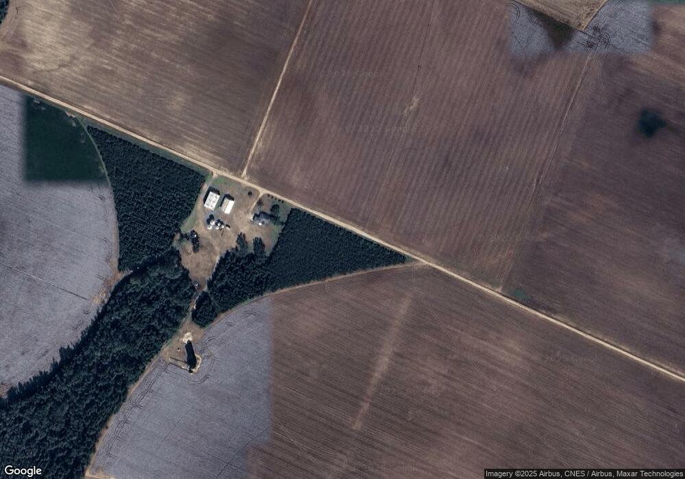
Map
Nearby Homes
- LOT 6 Triangle Rd
- 9447 Clarks Mill Rd
- 1192 Evergreen Ln
- 10132 Clarks Mill Rd
- 2023 Gamble School Rd
- 2 Stone Springfield Church Rd
- 3 Stone Springfield Church Rd
- 1255 Nelson Rd
- 0-36 Nelson Ct
- 0 Wayne St Unit 10654653
- 315 Forest St
- 836 Mimosa Dr
- 0 N Highway 1 Unit 10595910
- 0 N Highway 1 Unit 7642159
- 0 Middle Ground Rd Unit 540363
- 0 Middle Ground Rd Unit 10497061
- 0 Georgia 88
- 0 Georgia 24
- 401 W Broad St
- 1341 Ga Highway 171 N
- 1870 Duhart Church Rd
- 3715 Mennonite Church Rd
- 4043 Mennonite Church Rd
- 4169 Mennonite Church Rd
- 2440 Duhart Church Rd
- 2201 Duhart Church Rd
- 6312 Clarks Mill Rd
- 3869 Mennonite Church Rd
- 6064 Clarks Mill Rd
- 6279 Clarks Mill Rd
- 6321 Clarks Mill Rd
- 6229 Clarks Mill Rd
- 6191 Clarks Mill Rd
- 4441 Mennonite Church Rd
- 6157 Clarks Mill Rd
- 4591 Mennonite Church Rd
- 1113 Ghant Rd
- 1088 Gardner Rd
- 2752 Duhart Church Rd
- 1082 Horseshoe Rd