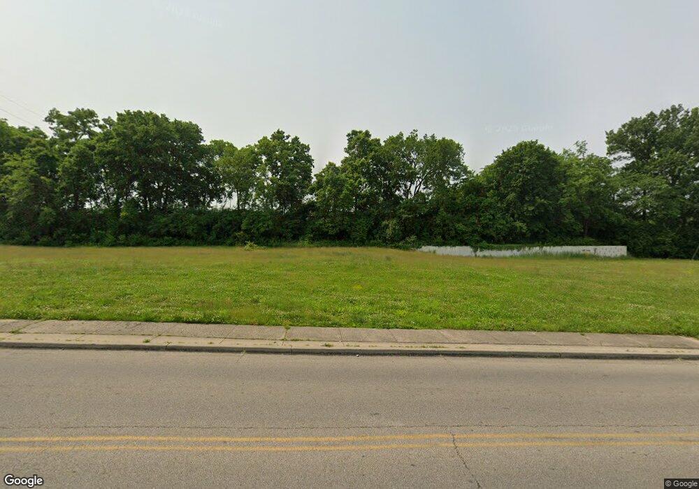
1631 Sherman Ave Norwood, OH 45212
--
Bed
--
Bath
46,000
Sq Ft
2.5
Acres
About This Home
This home is located at 1631 Sherman Ave, Norwood, OH 45212. 1631 Sherman Ave is a home located in Hamilton County with nearby schools including Norwood High School, Cornerstone Christian Academy, and Xavier University Montessori Lab School.
Ownership History
Date
Name
Owned For
Owner Type
Purchase Details
Closed on
May 13, 2025
Sold by
Gaslight Property Llc
Bought by
Sherman Oaks Llc
Home Financials for this Owner
Home Financials are based on the most recent Mortgage that was taken out on this home.
Original Mortgage
$17,994,000
Outstanding Balance
$17,930,155
Interest Rate
6.64%
Mortgage Type
Credit Line Revolving
Purchase Details
Closed on
Mar 25, 2020
Sold by
Winter Enterprises Llc
Bought by
Gaslight Property Llc
Purchase Details
Closed on
Oct 5, 2001
Sold by
Leonard Development Inc
Bought by
Winter Enterprises Llc
Home Financials for this Owner
Home Financials are based on the most recent Mortgage that was taken out on this home.
Original Mortgage
$722,500
Interest Rate
6.99%
Mortgage Type
Commercial
Create a Home Valuation Report for This Property
The Home Valuation Report is an in-depth analysis detailing your home's value as well as a comparison with similar homes in the area
Home Values in the Area
Average Home Value in this Area
Purchase History
| Date | Buyer | Sale Price | Title Company |
|---|---|---|---|
| Sherman Oaks Llc | -- | None Listed On Document | |
| Sherman Oaks Llc | -- | None Listed On Document | |
| Gaslight Property Llc | $220,000 | None Available | |
| Winter Enterprises Llc | $850,000 | -- |
Source: Public Records
Mortgage History
| Date | Status | Borrower | Loan Amount |
|---|---|---|---|
| Open | Sherman Oaks Llc | $17,994,000 | |
| Closed | Sherman Oaks Llc | $17,994,000 | |
| Previous Owner | Winter Enterprises Llc | $722,500 |
Source: Public Records
Tax History Compared to Growth
Tax History
| Year | Tax Paid | Tax Assessment Tax Assessment Total Assessment is a certain percentage of the fair market value that is determined by local assessors to be the total taxable value of land and additions on the property. | Land | Improvement |
|---|---|---|---|---|
| 2024 | $6,161 | $84,102 | $68,079 | $16,023 |
| 2023 | $6,179 | $84,102 | $68,079 | $16,023 |
| 2022 | $6,420 | $76,605 | $70,000 | $6,605 |
| 2021 | $6,016 | $77,000 | $70,000 | $7,000 |
| 2020 | $6,415 | $85,082 | $78,033 | $7,049 |
| 2019 | $6,617 | $79,513 | $72,926 | $6,587 |
| 2018 | $6,643 | $79,513 | $72,926 | $6,587 |
| 2017 | $8,897 | $79,513 | $72,926 | $6,587 |
| 2016 | $19,300 | $225,904 | $72,926 | $152,978 |
| 2015 | $17,416 | $225,904 | $72,926 | $152,978 |
| 2014 | $17,449 | $225,904 | $72,926 | $152,978 |
| 2013 | $16,753 | $230,514 | $74,414 | $156,100 |
Source: Public Records
Map
Nearby Homes
- 1701 Sherman Ave
- 4635 Baker St
- 3 Baker Cir
- 4627 Mcneil Ave
- 1721 Cleveland Ave
- 4650 Mcneil Ave
- 1803 Courtland Ave
- 1354 Avon Dr
- 1816 Cleveland Ave
- 1817 Sherman Ave
- 1810 Lincoln Ave
- 1284 Paddock Hills Ave
- 4028 Ledgewood Dr
- 1821 Mills Ave
- 1813 Ridgeway Ave
- 1835 Sherman Ave
- 4205 Lowry Ave
- 1308 Avon Dr
- 1841 Mills Ave
- 4216 Bell St
- 1620 Sherman Ave
- 1616 Sherman Ave
- 1614 Sherman Ave
- 1622 Sherman Ave
- 1624 Sherman Ave
- 4611 Baker St
- 4608 Baker St
- 4613 Baker St
- 4631 Baker St
- 4610 Baker St
- 4615 Baker St
- 1562 Sherman Ave
- 4612 Baker St
- 4619 Baker St
- 1558 Sherman Ave
- 4618 Baker St
- 4623 Baker St
- 1554 Sherman Ave
- 4622 Baker St
- 4625 Baker St
