1631 Sylvester Dr Nahunta, GA 31553
Estimated Value: $162,000 - $307,000
--
Bed
2
Baths
1,488
Sq Ft
$171/Sq Ft
Est. Value
About This Home
This home is located at 1631 Sylvester Dr, Nahunta, GA 31553 and is currently estimated at $255,178, approximately $171 per square foot. 1631 Sylvester Dr is a home located in Brantley County with nearby schools including Nahunta Primary School, Nahunta Elementary School, and Brantley County Middle School.
Ownership History
Date
Name
Owned For
Owner Type
Purchase Details
Closed on
Apr 21, 2015
Sold by
Crews Anita R
Bought by
Crews Christopher M and Crews Angie
Current Estimated Value
Purchase Details
Closed on
Apr 7, 2015
Sold by
Rowell William D
Bought by
Crews Anita R
Purchase Details
Closed on
Dec 27, 2005
Sold by
Rowell William D
Bought by
Crews Wiley Ralph and Crews Anita Rowell
Create a Home Valuation Report for This Property
The Home Valuation Report is an in-depth analysis detailing your home's value as well as a comparison with similar homes in the area
Home Values in the Area
Average Home Value in this Area
Purchase History
| Date | Buyer | Sale Price | Title Company |
|---|---|---|---|
| Crews Christopher M | -- | -- | |
| Crews Christopher M | -- | -- | |
| Crews Anita R | -- | -- | |
| Crews Wiley Ralph | -- | -- |
Source: Public Records
Tax History Compared to Growth
Tax History
| Year | Tax Paid | Tax Assessment Tax Assessment Total Assessment is a certain percentage of the fair market value that is determined by local assessors to be the total taxable value of land and additions on the property. | Land | Improvement |
|---|---|---|---|---|
| 2024 | $1,066 | $94,005 | $62,345 | $31,660 |
| 2023 | $907 | $89,446 | $45,282 | $44,164 |
| 2022 | $1,362 | $87,846 | $45,282 | $42,564 |
| 2021 | $982 | $71,900 | $45,282 | $26,618 |
| 2020 | $996 | $71,900 | $45,282 | $26,618 |
| 2019 | $985 | $71,900 | $45,282 | $26,618 |
| 2018 | $2,516 | $74,022 | $47,871 | $26,151 |
| 2017 | $2,516 | $74,022 | $47,871 | $26,151 |
| 2016 | $975 | $74,022 | $47,871 | $26,151 |
| 2015 | -- | $72,446 | $46,294 | $26,151 |
Source: Public Records
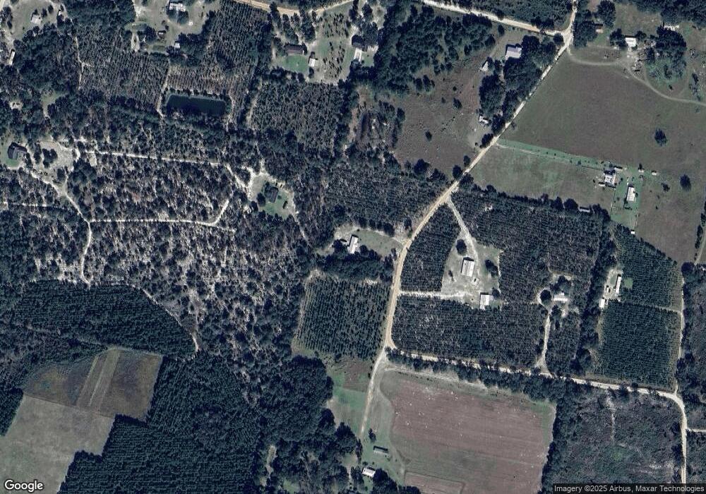
Map
Nearby Homes
- 91 Cane Cir
- 0 Riverside Rd Unit 25397127
- 46 Christopher Cir
- 29 Chisholm St
- 537 Seward Trail
- 7126 U S 301
- 0 Bachlott Church Rd Unit 25773424
- 0 Bachlott Church Rd Unit 10633876
- 0 Bachlott Church Rd Unit 1657673
- 0 Bachlott Church Rd Unit 163572
- 105 Crawford Rd
- 0-0 Foxwood Rd
- 0 Foxwood Rd
- 92 Ervin St
- 76 Ervin St
- 20.55 ACRES U S Highway 82
- 87 Stephen Park Rd
- 0 Caney Bay Rd
- 23715 Knox Rd
- 584 Knox St
- 1824 Sylvester Dr
- 1827 Sylvester Dr
- 1584 White Ford Rd
- 1584 Sylvester Dr
- 1875 Sylvester Dr
- 1785 White Ford Rd
- 1067 Sylvester Dr
- 1448 White Ford Rd
- 8363 Riverside Rd
- 1940 Sylvester Dr
- 1382 White Ford Rd
- 1797 White Ford Rd
- 0 Sylvester Dr Unit 8975722
- 0 Sylvester Dr Unit 8975716
- 275 Sylvester Dr
- 0 Sylvester Dr Unit 8887211
- 1775 White Ford Rd
- 1276 White Ford Rd
- 1882 White Ford Rd
- 1225 White Ford Rd